

From the Multnomah Falls parking area, head up the paved Larch Mountain trail. The wide trail switchbacks languidly through open forest to the popular Benson Bridge. Plan to hike a bit slowly through this area; Multnomah Falls is wildly popular and this area is often very crowded.
Cross Benson Bridge and continue up the paved trail. Now you begin climbing 11 switchbacks to a 0.1 mile detour to a stunning overlook of the top of Multnomah Falls. The detour’s worth it, take it.
Back on the main trail, it now starts upvalley, paralleling the creek and passing Dutchman, Wiesendanger and Ecola Falls in short order.
At a junction just past Ecola Falls (1.8 miles from the Multnomah Falls base area) continue straight ahead on the Larch Mountain trail (a right here puts you on the Wahkeena-Multnomah Falls Loop, a popular trail for visitors to Multnomah Falls).
Here, the trail becomes slightly less manicured. It’s narrower and more rugged but not difficult to follow. It also stays quite close to the creek in this section; close enough that there’s a unique feature along this section, a high water detour, signed at both ends, though the end closest to Multnomah Falls is nearly impossible to see.
This section of trail winds through open forest for 0.9 miles before arriving, surprisingly at a road crossing! The road crossing is just feet from the Mark O. Hatfield wilderness boundary, and 0.3 miles past that, you’ll pass an unsigned junction with Franklin Ridge, a little-used connector trail that climbs the aforementioned ridge to views of Mount Adams and St. Helens, before connecting with the Oneonta Trail.
0.1 miles past Franklin Ridge junction there is an informal campsite, a nice place to stop if you’re making this a backpacking trip. Past that, the trail continues climbing for 1.5 miles to another junction, this one with Multnomah Creek Way, a rarely-used trail that connects with the Oneonta trail and offers the option of making a rugged loop (if you also include the Franklin Ridge trail).
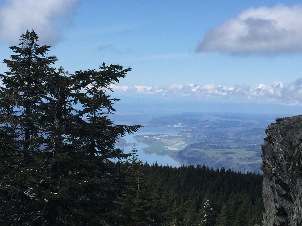
But you’re heading towards Larch Mountain, so press on. Interestingly, here the trail swings west and climbs up a ridge; you’ll approach Larch Mountain summit from the west after 1.7 miles of ridgeline walking. Enjoy the views as you hike, though the trail may be a little rough.
The last section of this trail may surprise folks who’ve come from Multnomah Falls; there’s a road and parking lot near the summit! The lot is technically accessible from Larch Mountain Road, about a 30 minute drive from I-84. However, it’s a more rugged road, and often gated, requiring a 4 mile roadwalk to get to this lot.
Just below Larch Mountain summit, take a left to link up with the Sherrard Point trail for a little less than half a mile to the summit of Larch Mountain.
Take in the view before heading the long way back. You can either return the way you came, or you can follow Sherrard Point trail east, at the fork, through the Larch Mountain trailhead and down the Larch Mountain road to the first switchback, where the Oneonta Trail departs. It's 0.7 miles on the Oneonta Trail to a junction with the Multnomah Creek Way Trail. Stay on the Oneonta Trail (forward) until it returns to the Franklin Ridge junction. From there, climb the Oneonta Trail over Franklin Ridge and head back the way you came.

 Trailhead


