

The trail, such as it is, starts in second-growth forest on a moderate grade. In 0.8 mile, it gains 550 feet of elevation through 17 switchbacks to a stump with a survey marker, and the start of a ridge walk.
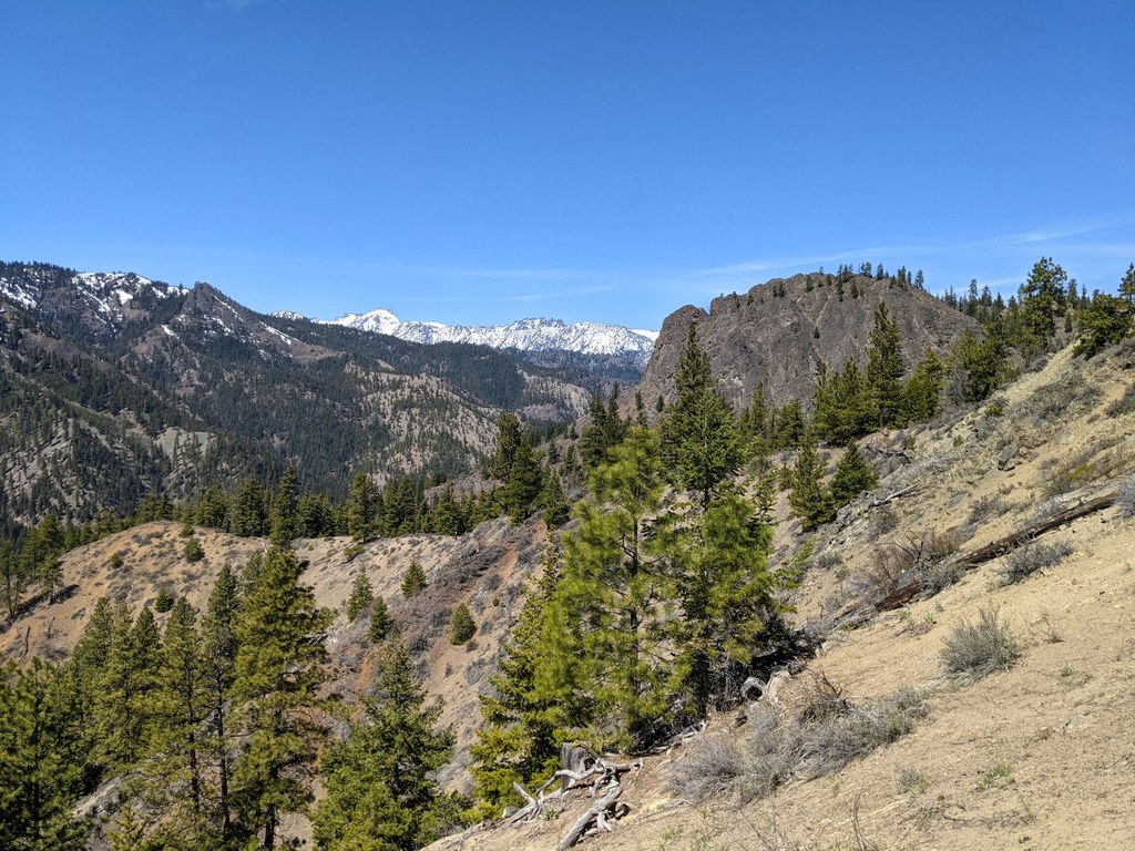
Enjoy walking the ridge through scattered ponderosa pine, hemlock, lupine, and daisies, with gorgeous views to the east and west, including views of Teanaway Ridge, Miller Mountain, the Stuart Range and more ridges and valleys.
Rugged, rocky outcroppings along the way add to the trail's beauty. 1.5 miles from the trailhead, the grade increases, gaining 400 feet to a 4,000-foot viewpoint looking out over Central Washington.
From here, the trail curves to the east, topping out at 4,400 feet with expansive ridgetop views to the north and south. The last 0.2 mile of the trail descends 100 feet to meet the upper end of Road 7204. Turn right at the junction; road 7204 ends in a half mile, becoming Tiptop Trail (#1204), which traces the top of Tronsen Ridge.
 Trailhead


