Trails for everyone, forever

Home Go Hiking Hiking Guide Mill Gulch Trail

Alert: On Oct. 1 the federal government began a partial shutdown that will impact National Parks, National Wildlife Refuges and U.S. Forest Service lands in Washington. Here's the latest information we have for hikers and campers


Mill Gulch Trail

Snoqualmie Region > Cle Elum Area
47.2562, -120.7095 Map & Directions
Length
5.2 miles, roundtrip
Elevation Gain
900 feet
Highest Point
3,600 feet
Calculated Difficulty About Calculated Difficulty
Moderate

9.22.25: US 97/Blewett Pass is closed between milepost 149-178 (junction with SR 970 and junction with Ingalls Creek Rd south of US 2/97 Don Senn Memorial Interchange) due to the Labor Mountain Fire.

Mill Gulch Trail. Photo by ejain. Full-size image
Saved to My Backpack

The Mill Gulch Trail is open to off-road vehicles and hikers and travels through the forest to a ridge overlooking the Teanaway. Continue reading

Rating
0.00 out of 5

(0 votes) Log in to rate

Hiking Mill Gulch Trail

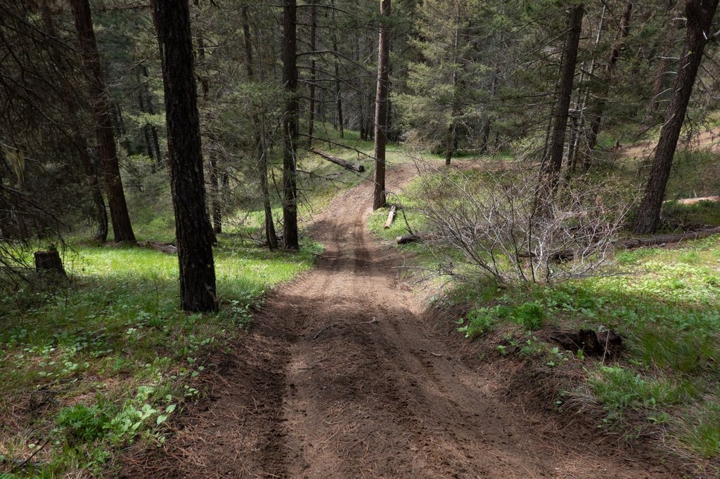
This trail is open to off-road vehicles and hikers. It begins in the forest, a short drive east of the town of Cle Elum. From the trailhead with a sign marked #4W326, follow the rough road as it rolls on an up-and-down course to its intersection with another forest road. Jump this road and continue on the trail as it climbs up toward the ridge.

At the ridge, you will encounter a fork in the trail. Take a right for a more level trail or head left for a steeper section. Both forks explore the ridge. If you go left, you'll eventually come to a dead end, while the right fork loops back to connect with Forest Road 115, heading back down to the trailhead. With several intersecting forest roads and trails, a map will be handy in keeping track of all the turns and junctions.

Hike Description Written by
Multiple authors contributed to this report, WTA Community

Mill Gulch Trail

Map & Directions

Trailhead
Co-ordinates: 47.2562, -120.7095 Open in Google Maps

Before You Go

9.22.25: US 97/Blewett Pass is closed between milepost 149-178 (junction with SR 970 and junction with Ingalls Creek Rd south of US 2/97 Don Senn Memorial Interchange) due to the Labor Mountain Fire.

See weather forecast

WTA Pro Tip: Save a copy of our directions before you leave! App-based driving directions aren't always accurate and data connections may be unreliable as you drive to the trailhead.

Getting There

From Cle Elum, head east on Highway 970 for about 10 miles, then turn north onto Highway 97 for another 3.3 miles. Turn left onto Forest Road 115 for about 1.25 miles, and the trail will be on your left. Park along the roadside, and look for a sign that says #4W326 marking the start of the trail.   

More Hike Details

Trailhead

Snoqualmie Region > Cle Elum Area

Mill Gulch Trail (##4W326)

Okanogan-Wenatchee National Forest, Cle Elum Ranger District

You can improve or add to this guidebook entry!

Mill Gulch Trail

3 Trip Reports

Hiked here recently?

Submit a trip report!
 
Trip Reports