

From the parking lot, head east on the paved trail. The first 0.4 mile will take you through a road construction area, so be cautious and alert for vehicles moving through this area. This section is very exposed — you may want to come prepared with sun protection on a hot, sunny day. Once you leave the construction area, you'll enter a quieter, tree-lined expanse. Keep an eye out for birds and other wildlife in this stretch, where nearby wetlands make an attractive habitat for a variety of species.
The path goes toward the highway for the next few hundred feet, but soon turns away from the highway, the sounds of cars starting to fade. The trail is very open here, but that changes in about 0.3 miles, where you’ll find a bench and a trash can. The sounds of the highway are still in the distance, but the trail begins to feel more forested as trees and bushes become more dense on either side of the path.
Continue on the trail, and in another 0.2 miles, come to a road crossing. There is a yellow crossing light here that you can activate to alert traffic while crossing. Enjoy walking beside mossy trees surrounded by blankets of ivy for about 0.1 miles before hitting another crosswalk. There is a yellow crossing light here as well.
You’ll soon come to another bench, this one honoring Milton E. Loflin and his extensive work in public service. Walk past more moss-covered trees for another 0.25 miles to find a great place for lunch; there is a picnic table, trash can, and portable toilet here. Note that this is the only toilet on the whole trail.
In 0.75 miles, find another bench and trash can to take a break at if you wish. There is a beautiful view here of the other side of the trail steeply dropping to the Hylebos Creek below, trees reaching high into the sky covered in ferns and moss.
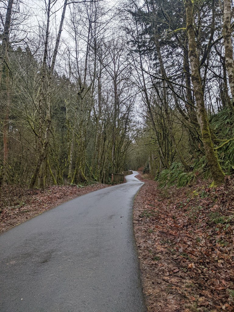
The last bench on the trail you’ll encounter is in 0.35 miles, where you’ll hear the sounds of a small stream on the other side of the trail if it’s quiet. You may see a squirrel or two running around off to the side of the trail, or hear birds chirping from up in the trees.
For the final 0.2 miles, the trail parallels the small stream. The trail ends at S 380th Street, where you can choose to get picked up, walk to the nearby bus stop and take the bus back to the trailhead, or start walking back the way you came.
WTA Pro Tip: Make this a loop with public transit. If you choose to take the bus back to the trailhead, turn left at the road and walk east on S 380th Street for 0.1 miles. Turn left at 28th Street S and continue for just a few hundred feet to the intersection. Cross Highway 161 at the crosswalks to continue on 28th Street S and stay on the left side of the street.
Walk 0.1 miles north until you reach the bus stop for the Pierce Transit 501 bus line heading south. Get off the bus at the 70th Avenue E and 20th Street E stop and walk just a short distance north to reach the intersection. Cross to the opposite corner of the intersection to find yourself back at the trailhead.
 Trailhead


