
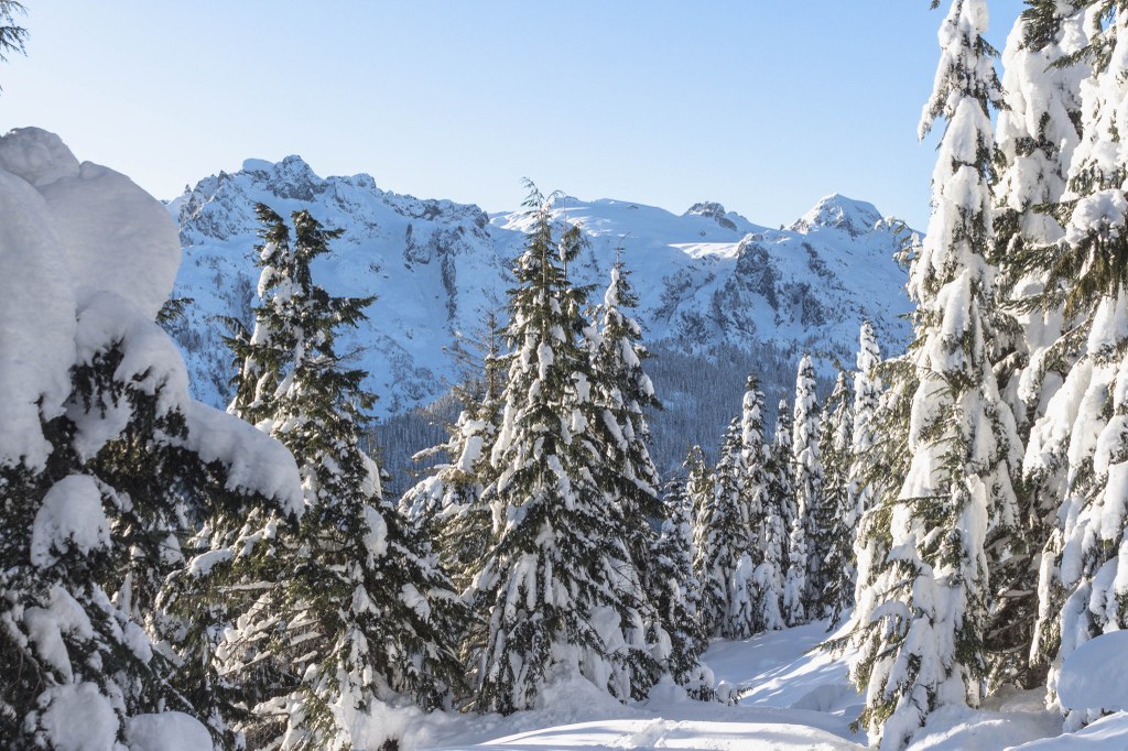

The Oakes Peak Snowshoe takes snowshoers along Forest Service roads into the northern end of the Mt. Baker Snoqualmie National Forest. There are two options for this hike, one taking you along Bacon Creek on FS Road 1060, the other taking you up towards Oakes Peak on FS Road 1062. Both provide classic North Cascade views of peaks, mountains, buttes, and more.
Begin your trip just off of the North Cascades Highway near Bacon Point. There is no dedicated parking lot as you are just walking along the road, so be sure to park so that you are not blocking the road. Follow FS Road 1060 for about a mile and a half until you reach a fork. If you continue straight, the road will take you generally straight along Bacon Creek. Pass Oakes Creek, Steelhead Creek, and Jumbo Creek as you make your way to the end of the road, which is right at the boundary between Mt. Baker Snoqualmie National Forest and North Cascades National Park. On your left, you'll see Diobsud Buttes in the Noisy Diobsud Wilderness.
The other option is to turn right at the fork and follow FS Road 1062. This road winds up towards Bacon Point and around to Oakes Peak. It also nears the boundary between Mt. Baker Snoqualmie National Forest and Ross Lake National Recreation Area. On this road, you can see Damnation Peak, Mt. Triumph, and maybe even Mt. Despair to the northeast. The road will take you across Oakes Creek to the base of Oakes Peak, where some may choose to attempt to summit. However, there is no trail whatsoever that takes you there. This should only be attempted by those with strong route finding skills and avalanche knowledge and tools.
Both roads are covered in snow in the winter, and snowshoes are necessary. In early spring, the lower portions of the road may be clear of snow, but at higher elevations, the snow doesn't melt until late in the season. Come prepared with the proper gear and knowledge to make your trip a success.
 Trailhead


