
Rain, rain don't go away, come again so I can play! If you're bundled up in good gear, you might be singing this on this hike. The nearby town of Raymond is notable for being one of the rainiest in the state, with 83 inches of precipitation reported annually.
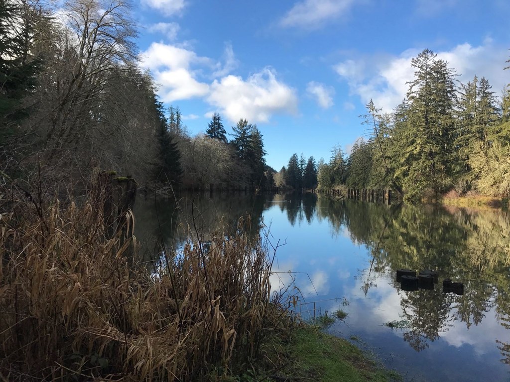
That makes the perfect habitat for plants and animals that like it as wet as possible -- and these thrive at Preacher's Slough on the Chehalis River Surge Plain. The 3,018-acre wetland spreads out near the mouth of the Chehalis River, where it mingles with the saltwater of Grays Harbor and creates a nutrient-rich environment.
Sitka spruce and western redcedar thrive here, though there are also red alder trees lining the trail. As you hike, interpretive signs are tucked among the trees, offering information about salmon habitat, the history of the area (including how Preacher's Slough got its name), and why the railroad no longer runs on this side of the slough.
Because of its rich habitat for fish, the surge plain also provides a good home for osprey and bald eagles.
Walking along the trail, visitors are accompanied by traffic noise periodically, as it closely parallels the access road. It's three and a half miles to Blue Slough, another parking area with room for about seven cars and a boat launch. The seven mile round trip hike is a good workout, despite being rather flat, but if you don't feel like doing the whole route, a good turnaround point is the bench and overlook, indicated by a green sign on the righthand side of the trail.
WTA Pro Tip: DNR has posted a warning about the presence of New Zealand Mudsnails in the slough. If you are planning on boating or wading in the water, take a look at the postings (available at both trailheads) on how to prevent the spread of this invasive species.
Preacher's Slough to Blue Slough

-
 Length
- 7.0 miles, roundtrip
-
 Elevation Gain
- 614 feet
-
 Highest Point
- 103 feet
Walking along this old railroad bed offers insight into the history, ecology, and biology of the Chehalis River Surge Plain. Surge plains are rare, and the interpretive trail along this route helps highlight the important part they play in a healthy ecosystem.
Continue reading
Hiking Preacher's Slough to Blue Slough
Preacher's Slough to Blue Slough
Map & Directions
 Trailhead
Before You Go
Parking Pass/Entry Fee
Discover PassWTA Pro Tip: Save a copy of our directions before you leave! App-based driving directions aren't always accurate and data connections may be unreliable as you drive to the trailhead.


