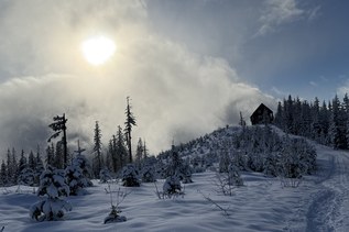
Access several loop options at the north side of Cougar Mountain with the Red Cedars Trail.
Red Cedars

-
 Length
- 0.3 miles, one-way
-
 Elevation Gain
- 212 feet
-
 Highest Point
- 1,007 feet
Access several loop options at the north side of Cougar Mountain with the Red Cedars Trail.
Continue reading
Hiking Red Cedars

WTA worked here in 2012!
Red Cedars
Map & Directions
 Trailhead
Before You Go
Parking Pass/Entry Fee
NoneWTA Pro Tip: Save a copy of our directions before you leave! App-based driving directions aren't always accurate and data connections may be unreliable as you drive to the trailhead.
Getting There
From I-90: Take exit 13 onto Lakemont Boulevard. Drive south on Lakemont Boulevard, which becomes Newcastle - Coal Creek Road. After crossing "The Pass," turn left onto Cougar Mountain Way, and continue about a half-mile before turning right onto 166th Way. Drive about three-quarters of a mile to a gate and park, being sure not to block the gate.