

As you leave the Cottonwood Campground, the trail starts smooth and fast as you head east towards the creek that you’ll follow all the way up to the pass. After 0.25 mile, you’ll start climbing up the first of the switchbacks towards the first crossing of Shetipo Creek. This crossing is the most substantial, but shouldn’t give you too much trouble – especially if you’re willing to get your feet wet. Enjoy the cool air that the creek creates and the sight of the wide waterfall that runs the width of the creek.
After this point, you’ll continue climbing onwards and upwards through a section of lower switchbacks. This lower portion of the trail is largely exposed and lacks shade given that you’re hiking through the lower reaches of the 2014 Wolverine Fire that ultimately burnt over 60,000 acres across the valley. Luckily, once you reach the 2-mile mark you’ll start to notice and appreciate more consistent patches of unburnt forest that provide much appreciated shade.
Throughout the next mile of hiking, you’ll continue climbing steeply up towards the pass with a number of small creek crossings that give plenty of opportunities to filter and refill water. However, in the final mile and a half the trail becomes much steeper and the water access gets a bit less consistent. Don’t lose hope as things continue to climb up and up and up because soon the trail will dramatically mellow out as you walk the final yards to the trail junction.
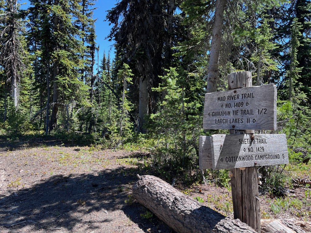
At the junction, the trail splits with the Garland Peak Trail to the right which will take you up towards Garland Peak, Larch Lakes, and back towards the Entiat River Trail. If you turn left, however, the Upper Mad River Trail will carry you towards Blue Creek, Klone Peak and eventually back down towards the Mad River.
 Trailhead


