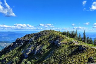

Silver Shadow Trail is a three-mile connector trail in the Yacolt Burn State Forest named for being in the shadow of neighboring Silver Star Mountain. Hike it one-way, or connect create a five-mile loop of the much longer Tarbell Trail.
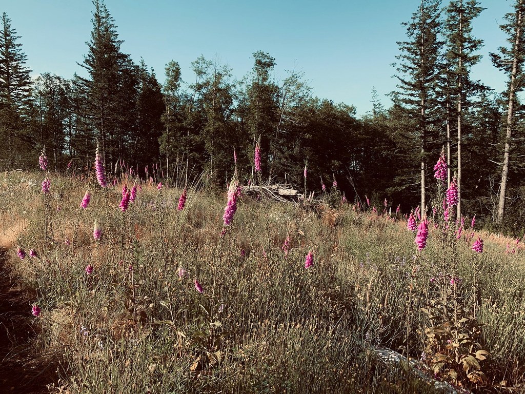
Whether or not you're doing the loop, you'll hike on the Tarbell trail to access Silver Shadow. Simply depart from the trailhead and follow the Tarbell Trail 1.2 miles through recovering forest of Douglas-fir and western redcedar with a carpet of salal, Oregon Grape and wildflowers to a signed junction with the Silver Shadow trail.

 Trailhead