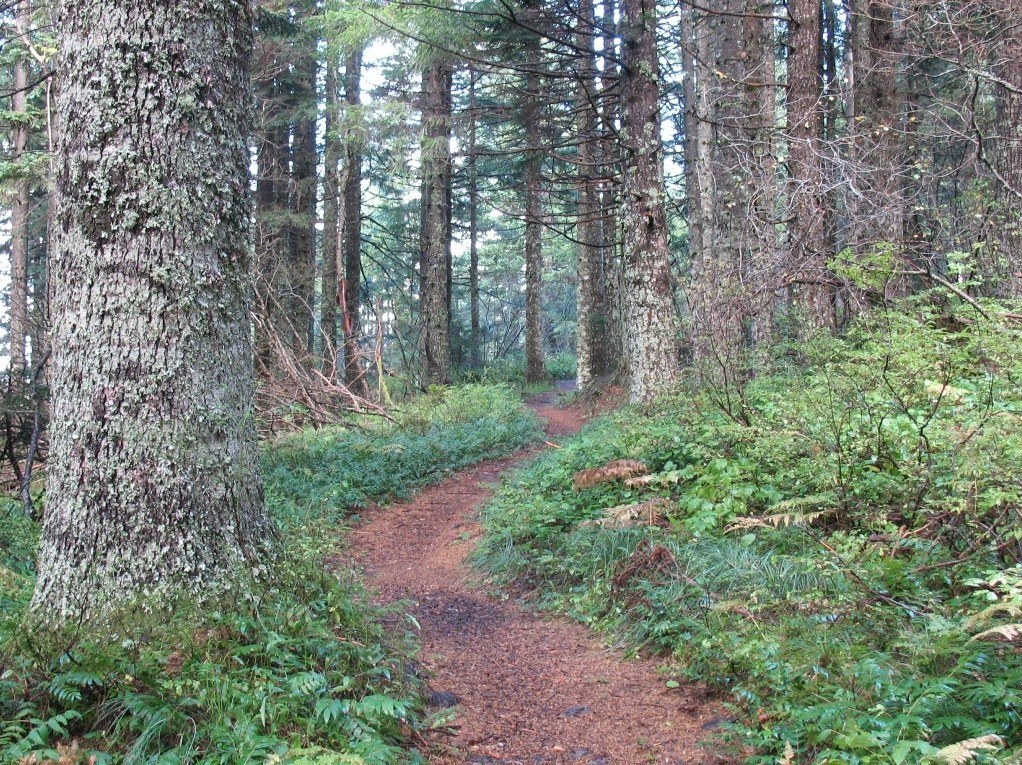
There area several points to access the Tarbell Trail including Rock Creek Campground, Tarbell Trailhead, Yacolt Burn Trailhead and the Grouse Vista Trailhead.
The Yacolt Burn Trailhead is a great place to start your day. From the trailhead, start counter-clockwise, since the climb will be slightly gentler and you can enjoy the shade of the forest near Rock Creek on your way down later in the day.
Head southeast along Cold Creek for 7 miles, crossing the creek near its headwaters and climbing up towards Larch Mountain along the way. 7 miles in is a road crossing and the Grouse Vista trailhead. Be sure to keep left here (the right trail goes to Silver Star in the Gifford Pinchot National Forest).
From Grouse Vista it's 5.1 miles to sweet and surprising Hidden Falls, where you can refill on water and take a rest near this waterfall on Coyote Creek before continuing on.
It's 1.4 miles and a bit of a climb from Hidden Falls to the junction with the Silver Star trail, where you'll turn left to stay on the Tarbell Trail for 3.4 miles. At this point turn south west and begin descending through former timber harvest and second-growth forest on a lovely section of the trail for 3.1 miles to Rock Creek Campground. There are restrooms here, should you need a break!
From the campground, it's just 2.2 miles to the Yacolt Burn Trailhead. Cross L-1000 and continue on through forest, crossing the road once more before arriving back where you started.
Did you know?
A portion of the Tarbell Trail connects the Bells Mountain Trail and the Kloochman Butte Trail and is the official route of the Chinook Trail, a regional trail route that will one day provide a 300+ rim-to-rim loop encircling the Columbia River Gorge between Vancouver and Maryhill.


 Trailhead


