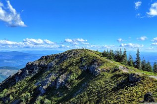


The Chinook Trail is a vision and work in progress. Once completed it will be a 300+ mile rim-to-rim loop encircling the Columbia River Gorge across both southern Washington and Oregon.
The Chinook Trail Association (CTA) completed a 30-mile stretch northeast of Vancouver that received National Recreation Trail status in 2005. But, many shorter trails help make up the proposed long loop, including several in the Yacolt Burn State Forest and the Silver Star National Recreation area, as well as the Vancouver area, and on both sides of the Gorge in the National Scenic Area managed by the Forest Service.
To experience various parts of the Chinook trail:
- For a longer hike, head to the Yacolt Burn area and try the CTA using the Bell's Mountain Trail, then hop onto the scenic Tarbell Trail by way of the Kloochman Butte Trail. From there, it's possible to join up with Ed's Trail, even continue on to Bluff Mountain.
- Or keep it short and sweet by visiting Lucia Falls or Moulton Falls in Moulton County Park
- Further east on the Washington side of the Gorge, you can visit one of WTA's signature project, Lyle Cherry Orchard, a crucial connector for this project.
- Still further east is the Klickitat Rail Trail, and Swale Canyon, both former roadbeds that are incorporated into the route of the Chinook Trail.
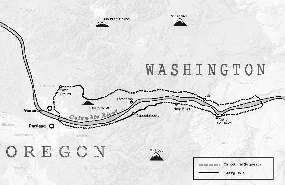
On the Oregon side many existing trails between Angels Rest and Starvation Creek approximate the vision for the Chinook Trail, though there are fewer long sections of completed trail. Take a look at the proposed map of the route, showing completed sections and some to-be-finished.
However, the original route proposed by co-founders Ed Robertson and Don Cannard, would stick to the highest ground following the rim top east all the way to the crossing at Hwy 97 near Maryhill.