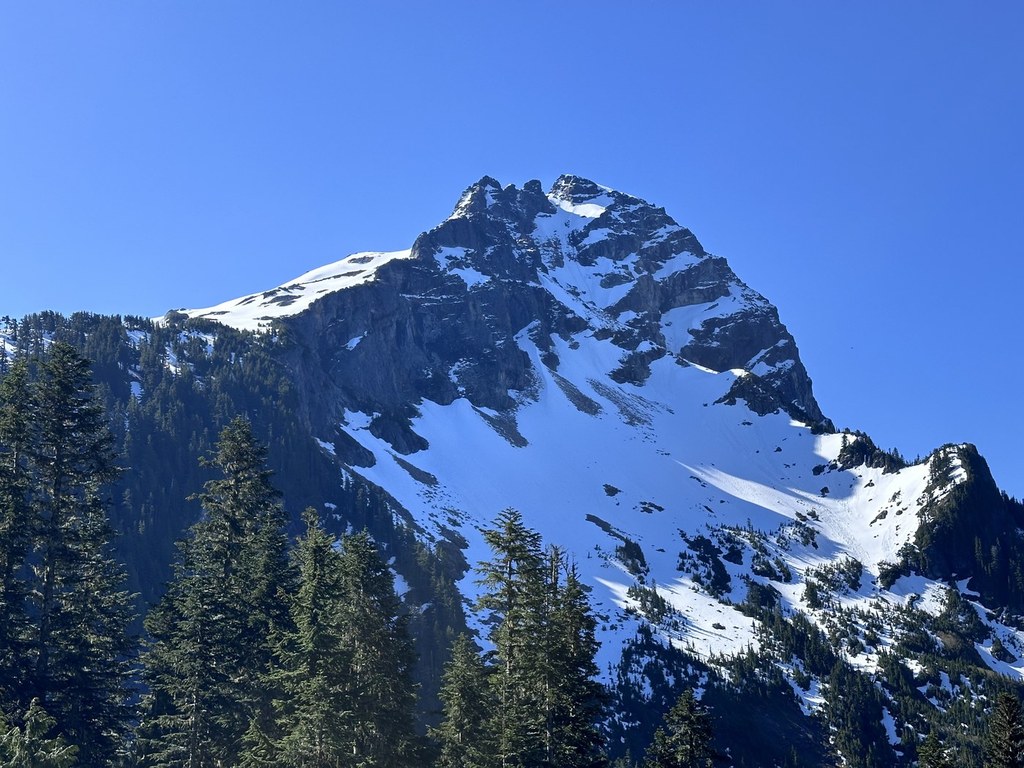

This route on the north side of Sloan Peak is steep and challenging. Hikers with navigational skills can make it to the base of the peak -- climbing gear and expertise is needed to achieve the summit.
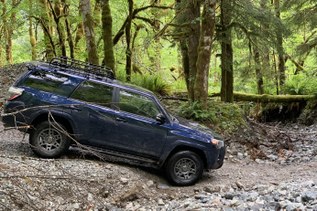
Hike the trail (an old road) 0.5 miles in a floodplain to the North Fork Sauk River at 1,900 feet. The trail requires a ford here but this can be dangerous and should only be attempted at low water, normally in late summer and early fall.
Once across the river, climb steeply through forest, entering the Henry M. Jackson Wilderness in about a mile. Two miles past the ford, cross Cougar Creek near a large falls. Crossing here can also be difficult during times of heavy snowmelt.
From Cougar Creek, the trail meets an avalanche path where the ensuing route has been obliterated, creating difficult cross-country travel but impressive views. Beyond the slide area, it is possible to ascend into meadows at the base of Sloan Peak with good views. This is the turn-around point for hikers.
Sloan Peak

-
 Length
- 9.0 miles, roundtrip
-
 Elevation Gain
- 2,900 feet
-
 Highest Point
- 7,835 feet
9.3.25: The trail is closed until further notice due to the Red Mountain Fire.
12.24.25: The Mountain Loop Highway is closed at milepost 37.5 (15.5 miles south of Darrington) due to a landslide. This restricts access to FR 49 and this trailhead.
This route on the north side of Sloan Peak is steep and challenging. Hikers with navigational skills can make it to the base of the peak -- climbing gear and expertise is needed to achieve the summit.
Continue reading
Hiking Sloan Peak
Map & Directions
 Trailhead
Before You Go
9.3.25: The trail is closed until further notice due to the Red Mountain Fire.
12.24.25: The Mountain Loop Highway is closed at milepost 37.5 (15.5 miles south of Darrington) due to a landslide. This restricts access to FR 49 and this trailhead.
Parking Pass/Entry Fee
NoneWTA Pro Tip: Save a copy of our directions before you leave! App-based driving directions aren't always accurate and data connections may be unreliable as you drive to the trailhead.