

Access to the south district of the huts, managed by the Mount Tahoma Trails Association, is via a series of steep forest roads. Climbing almost the entire way, the trek can be tiring, but don’t let this discourage you. The views are well worth it. While hiking, be cautious of logging trucks driving on the forest road — a partnership between the Department of Natural Resources and the logging company allows provides us access to these amazing huts! The lower parking lot has a pit toilet facility for use before starting on your trek.
Start up the road and pass by the Lower Yurt Trail after 0.88 mile. Stay on the main road throughout a series of switchbacks until you reach a low saddle at 1.33 miles from the middle parking lot. Here, the road veers right, where you can continue up to High Hut — closer, but a steeper hike.
Following the trail around to the left, you'll enjoy a somewhat flatter grade for a short while. Look for peek-a-boo views of Mount Rainier to your left until the trail begins climbing again. You'll have another 0.8 mile of steep uphill before this section peaks beneath a banner of prayer flags strung up across the trail.
From this colorful indicator, continue through more forest on a flat grade that begins descending downhill to a junction with the road leading to The Yurt — the furthest flung hut on the system. Stay to the right and begin the final moderate uphill jaunt, just 0.25 mile to Bruni's.
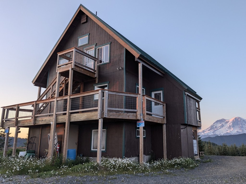
The elevation of Snow Bowl is 42,50 feet and provides beautiful views of Mount St. Helens, Mount Adams, Mount Rainier and the Olympic Mountains. All huts have a wood stove, oven, stovetop, bunk beds/mattresses, outdoor pit toilet and cooking utensils. Reservations to stay overnight must be obtained via the Mount Tahoma Trails Association website.
Popular day hikes include the Next of Kin Trail, Griffin Mountain and Anderson Lake.
 Trailhead


