

Whether you’re in the area or just driving through, Diablo Lake is always a good spot to stop and take in the North Cascades. If you want to extend your stop into a hike, check out the Sourdough Creek Trail. This short and moderate trail traverses through lush, mossy forest and leads you up to the Sourdough Creek waterfalls. With wildlife, mountain and lake views and plenty of rest stops, this trail is perfect for all ages.
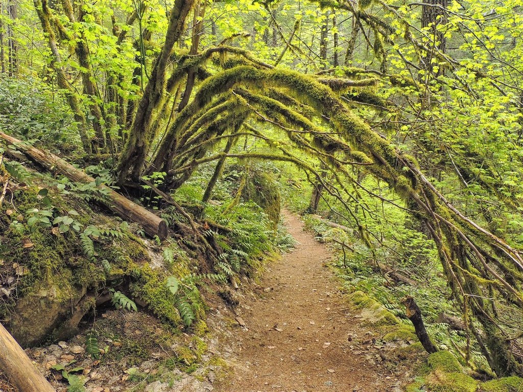
The trail connects with the Diablo Lake Trail, so park at the North Cascades Environmental Learning Center. On the opposite side of the lake, near the gated driveway to the center, find the Diablo Lake trailhead. Soon, you’ll be greeted with tons of moss-covered rocks, and a small fork in the trail. Here, keep to the right. Along the trail, you’ll notice the buildings of the learning center on your right, and then the trail intersects with a gravel driveway. The trail continues down and across the driveway, and a little over a quarter-mile from the parking lot, you’ll arrive at the Sourdough Creek Trail.
Going right will only take you a short distance to the learning center, so take a left to get to the falls. In a few minutes, you’ll find two benches underneath an old Douglas-fir. These benches are sprinkled along the trail, but the best rest stop is only a few hundred feet away. There, you’ll find a quaint gazebo with a short, wooden pathway leading to a platform above the creek. Take a seat under the alder tree, have a snack, and listen to birds chirping and the peaceful trickle of the creek below.
When you continue, you’ll find a shelter in about a quarter-mile. Here, you can either continue going straight, or take a short detour--taking a left and following the small trail at the shelter will loop you around back to the main trail in about a quarter-mile. Also at the shelter, you’ll notice a small path on the right of the main trail. This takes you behind some trees to a sheltered pit-toilet.
After a couple of switchbacks and bridges, you’ll walk along a large slope covered in mossy rocks. Soon, you’ll be treated with a view of Snowfield Peak and Diablo Lake on your left. Around the corner is a set of stone stairs, which means you’re almost at the falls. From here, the trail gets steep and quite rocky. On your left you’ll see the big white boulders that line the creek, and soon, you’ll hear the falls.
Once you’ve reached the top, make sure you look up and to your left to see the Sourdough Creek Falls. The rocks here are large and plentiful, and are perfect for having lunch with the chipmunks and purple asters and the view. In the summer, peek into the little pools of water and find tadpoles swimming around the rocks.
 Trailhead


