
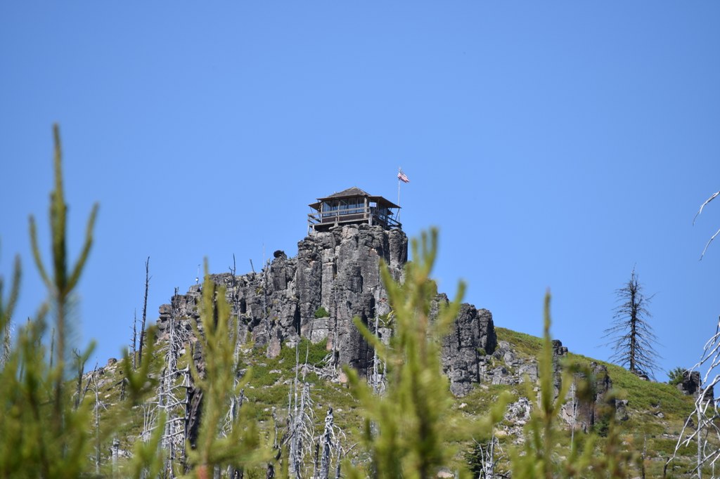

Visiting an old fire lookout like Sugarloaf is an opportunity to introduce a grandchild to the wonders of the mountains, or to explore with your partner through the vast, wonderful out-of-doors. You'll walk among ponderosa forests, though it's not really a requirement to achieve nirvana at this drive-up fire lookout.
After you've parked and headed up the road, you can expect views of the Entiat Mountains and beyond. Fire lookout activity started here in 1924 with the current structure brought here from Lion’s Rock near Ellensburg in 1949.
Bring some baked goods or fresh fruit to ingratiate yourself to the fire lookout attendant, though they are nice to everyone regardless of baked treats. For further adventure, Forest Service roads crisscross the area with a few other standing and former fire lookout locations.
Fill your cooler with food and beverage and make sure your gas tank is topped off before heading out exploring. Tyee and Steliko lookouts are nearby and they are both available for nightly rental.
The Tyee Ridge Road is a local favorite for finding dispersed camping opportunities. Exiting this road trip via the town of Entiat makes for a nice loop. You may also want to consider visting the Columbia Breaks Fire Interpretive Center alongside the Columbia River for a deeper understanding of fire lookouts here.
 Trailhead


