Trails for everyone, forever

Home Go Hiking Hiking Guide Taylor Mountain - Holder Ridge Trail
WTA is a nonprofit that needs you

We're just as excited as you to get the summer hiking season started. We're psyched our website, app and work for trails help you get outside.

But we're a nonprofit that runs on donations from regular people. If everyone who visited this site this holiday weekend donated $9/month, it would fully fund our work for the next 2 years. Time spent outdoors is priceless, but every donation large or small helps us support those experiences for everyone. Thank you and happy hiking!


Please take 2 minS to chip in $9

link

Taylor Mountain - Holder Ridge Trail

Issaquah Alps > Taylor Mountain
47.4326, -121.9708 Map & Directions
Length
1.57 miles, one-way
Elevation Gain
425 feet
Highest Point
900 feet
Calculated Difficulty About Calculated Difficulty
Easy
The trails on Taylor Mountain are marked by signs like these. Photo by Kimlich. Full-size image
Saved to My Backpack

Cross over two small creeks as you make your way up and over Holder Ridge. Continue reading

  • Wildlife
  • Good for kids
  • Dogs allowed on leash
  • Fall foliage

Parking Pass/Entry Fee

None
Rating
2.00 out of 5

Hiking Taylor Mountain - Holder Ridge Trail

Taylor Mountain is a newer addition to the King County Parks system, standing out for its intersecting network of narrow trails and wide roads, and for its history of different land use practices. Between the 1880s and 1970s, the forest was repeatedly logged, and even hosted 15 miles of railroad and a handful of sawmills. Currently, it is a Forest Stewardship Council certified working forest, emphasizing sustainable management practices as well as recreation for hikers, mountain bike riders, and horseback riders.  

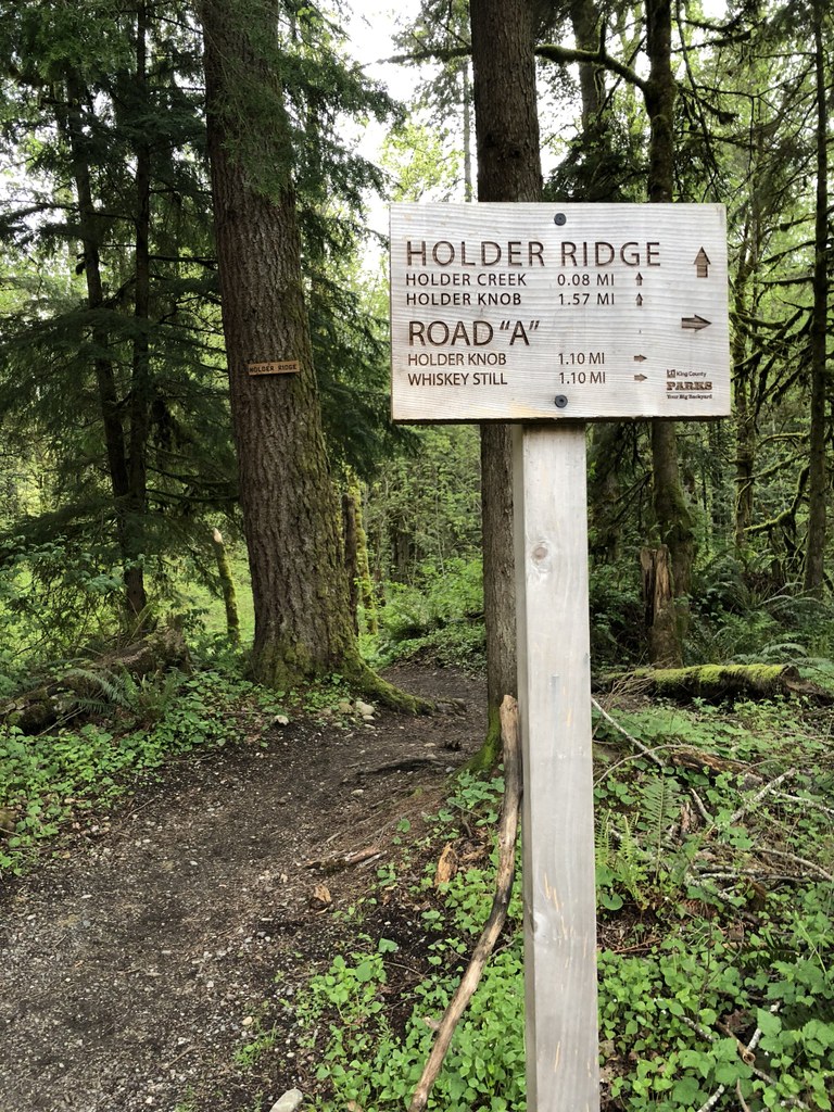
The Holder Ridge Trail starts at the parking lot and quickly crosses a small creek. Soon you will come to a junction where the Holder Creek Trail splits off to the left. Stay right and begin ascending the flanks of Holder Ridge. After some meandering, the trail crests the ridge and drops a couple hundred feet to another creek crossing. From here, the trail gently traverses a second slope, eventually coming to an end at its intersection with the Holder Knob trail. At this point hikers can either head back the way they came or continue exploring the many trails on Taylor Mountain.

Taylor Mountain - Holder Ridge Trail

Map & Directions

Trailhead
Co-ordinates: 47.4326, -121.9708 Open in Google Maps

Before You Go

See weather forecast

Parking Pass/Entry Fee

None

WTA Pro Tip: Save a copy of our directions before you leave! App-based driving directions aren't always accurate and data connections may be unreliable as you drive to the trailhead.

Getting There

From I-90, take exit 25 and head south on highway 18. Take the exit for Issaquah-Hobart Road and turn south on Issaquah-Hobart Road. After 0.5 miles pull into the Taylor Mountain Trailhead on your left. The parking area can hold 25 trucks with horse trailers and 25 standard vehicles, bathroom on site. 

More Hike Details

Trailhead

Issaquah Alps > Taylor Mountain

King County Parks

Guidebooks & Maps

King County

Taylor Mountain Forest Map

Buy the Green TrailsTiger Mountain No. 204S map

You can improve or add to this guidebook entry!

Taylor Mountain - Holder Ridge Trail

25 Trip Reports

Hiked here recently?

Submit a trip report!
 
Trip Reports