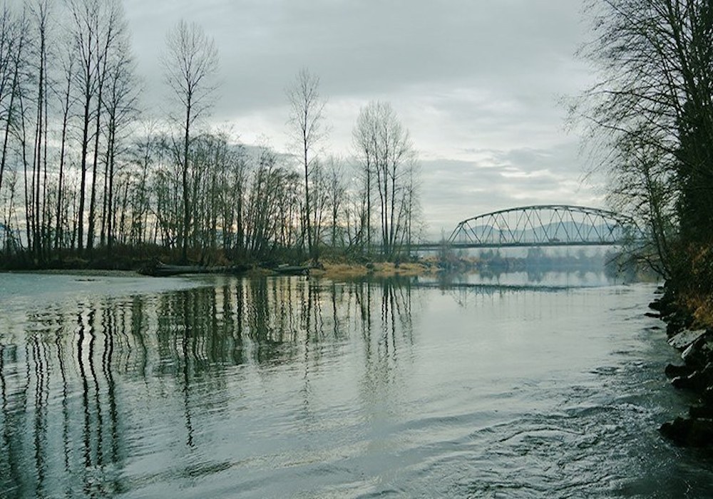

Officially known as Tolt River-John MacDonald Park, this green space in Carnation is known more locally as Tolt-MacDonald Park. It is a true recreation destination. Located less than one hour from Seattle, the 574-acre park sits at the confluence of the Snoqualmie and Tolt rivers in the beautiful Snoqualmie Valley. A 500-foot-long suspension footbridge across the Snoqualmie River connects the east and west sides of the park and offers terrific views of the Snoqualmie River and Cascade foothills. Visitors can observe spawning salmon in the river below and eagles and osprey soaring above.
For a bicycle tour of local farms and forests in the valley, head east from the park to access the 27-mile-long Snoqualmie Valley Trail. The park also features six yurts overlooking the river and year-round camping for RVs and tents, and two group campsites, all with fire pits.
WTA Pro Tip: There are also two large picnic shelters, one a beautifully restored barn, for company picnics, weddings and other special events. King County Parks has a great map of this park on their website.
Tolt-MacDonald Park

-
 Length
- 12.0 miles, roundtrip
-
 Elevation Gain
- 400 feet
-
 Highest Point
- 500 feet
Parking Pass/Entry Fee
None
Tolt-MacDonald Park is an outdoor recreation treasure for all King County residents! With 12 miles of forested and riverside trails, this is a favorite mountain biking and hiking destination. The backcountry area of the park is located on the west side of the Snoqualmie River across the suspension bridge.
Continue reading
Hiking Tolt-MacDonald Park
Wheelchair Accessibility
No trails are currently wheelchair accessible.

WTA worked here in 2025, 2020, 2019, 2018 and 2017!

Map & Directions
 Trailhead
Before You Go
Parking Pass/Entry Fee
NoneWTA Pro Tip: Save a copy of our directions before you leave! App-based driving directions aren't always accurate and data connections may be unreliable as you drive to the trailhead.
Getting There
The park’s entrance is located at NE 40th Street and Highway 203 at the south end of Carnation. From I-5 N, take exit 168B for Hwy 520 to Bellevue and Kirkland. Proceed for 12 miles, and take the WA 202/Redmond Way exit. Turn right onto WA-202 E/Redmond Way and proceed for 7.7 miles. Make a left onto NE Tolt Hill Road which turns into Tolt Ave in 3.3 miles. After 0.5 miles on Tolt Ave, Turn left onto NE 40th Street and park.


