
This delightful little park in the heart of Coeur D'Alene boasts swimming holes, plenty of trails to give you a workout, and great views of the majestic Lake Coeur D'Alene.
The 2.2 mile Interpretive Trail encircles the Hill. Starting from the trailhead in the northwest corner of the hill, in McEuen Park, make your way around the Main Trail. You'll cross East Tubbs Hill Drive, and climb a bit to an overlook of a neighborhood of Coeur D'Alene. The trail is wide but somewhat rugged -- it's great for walking, not so good for strollers or wheels.
After three-quarters of a mile, arrive at an outcropping that offers a view over Lake Coeur D'Alene. Snap a photo if you like, then head on around, moving downhill closer to the waterline. Coming back around to the west side of the hill, you can see North Idaho College's campus and downtown Coeur D'Alene as you re enter McEuen Park.
There is another trailhead on the east side of the park, at the south end of 10th Street. Many trails branch off the Main Trail, allowing you to hike to the summit of the hill, bisecting the loop and shortening your trip.
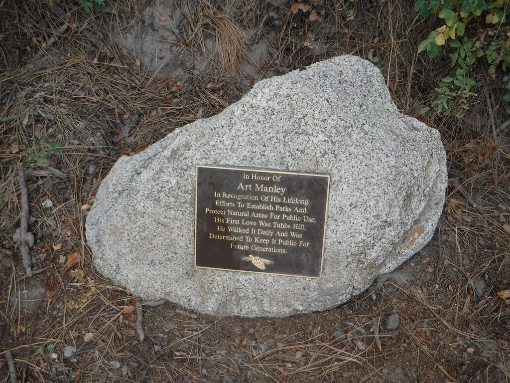
Preserved by Art Manley, Tubbs Hill is now maintained by the Tubbs Hill Foundation and the Friends of Tubbs Hill. Learn more about them at tubbshill.org.
Tubbs Hill

-
 Length
- 2.2 miles, roundtrip
-
 Elevation Gain
- 300 feet
-
 Highest Point
- 0 feet
This delightful little park in the heart of Coeur D'Alene boasts swimming holes, plenty of trails to give you a workout, and great views of the majestic Lake Coeur D'Alene.
Continue reading
Hiking Tubbs Hill
Map & Directions
 Trailhead
Before You Go
Parking Pass/Entry Fee
NoneWTA Pro Tip: Save a copy of our directions before you leave! App-based driving directions aren't always accurate and data connections may be unreliable as you drive to the trailhead.
Getting There
Driving Directions
To get to McEuen Park, take NW Boulevard South exit from I-90. Continue on as the road curves left and turns into Sherman Avenue. Turn right on Third Street. There is lots of parking in the McEuen parking lot.
If heading for the 10th Street entrance, there is a small parking lot and access to the east trailhead at the south end of 10th Street, but remember it is in a neighborhood so please park with respect to the folks who live there.
TAKE TRANSIT
Make your hike car-free by taking the bus to this trailhead.


