

This Shoreline city park offers good trails that pass through areas of low forest and circle two small lakes. Hikers may prefer the approach from the west side via the Trail of the Cedars. The route described here begins at that trailhead but gets to every part of the park, including the eastern trailheads, so you can easily modify your route if you prefer a different starting point.
There are very few trail signs in the park, and as of January 2018, the park website does not offer an online trail map. As in any city park, you may prefer to explore on your own. Or, if you prefer a more structured hike, follow the route described below.
Head east on the wide trail as it passes through an area of low forest. A few small cedars will be evident, but there are many other trees and shrubs here too. Branches hang over the trail to give it a tunnel appearance, particularly when everything is leafed out.
In about 700 feet you will reach the shore of the southern lake. There, the trail bends left and follows the lake shore for about 300 feet before heading sharply right across a narrow land bridge that separates the two lakes (Part way along, a wooden bridge crosses the stream that connects the two lakes.)
Once across the land bridge you will be confronted with an abrupt change of scene. You'll be looking out across the bright green artificial turf of a soccer field, with glimpses of I-5 and its moving traffic not far beyond.
Traffic noise from I-5 will be most noticeable along the eastern edge of the park, and some noise may be audible throughout the park. But it's likely you will cease to notice it after the first few minutes.
Head north around the shore of the northern lake. Soon you will come to a viewing platform that hosts two picnic tables. Pause here, enjoy the view out across the lake, and see if you can identify any of the waterfowl that usually are present.
If you are seeking a restroom, you will find the only one in the park just past the children's playground, near the northeastern parking lot.
Continue on around the northern lake and cross the small inlet stream. As the trail bends around the western edge of the lake it becomes narrower, and it may seem compressed between the board fences of back yards and shrubs along the lake shore. The route widens soon, and you will rejoin your incoming route at the western end of the land bridge between the two lakes.
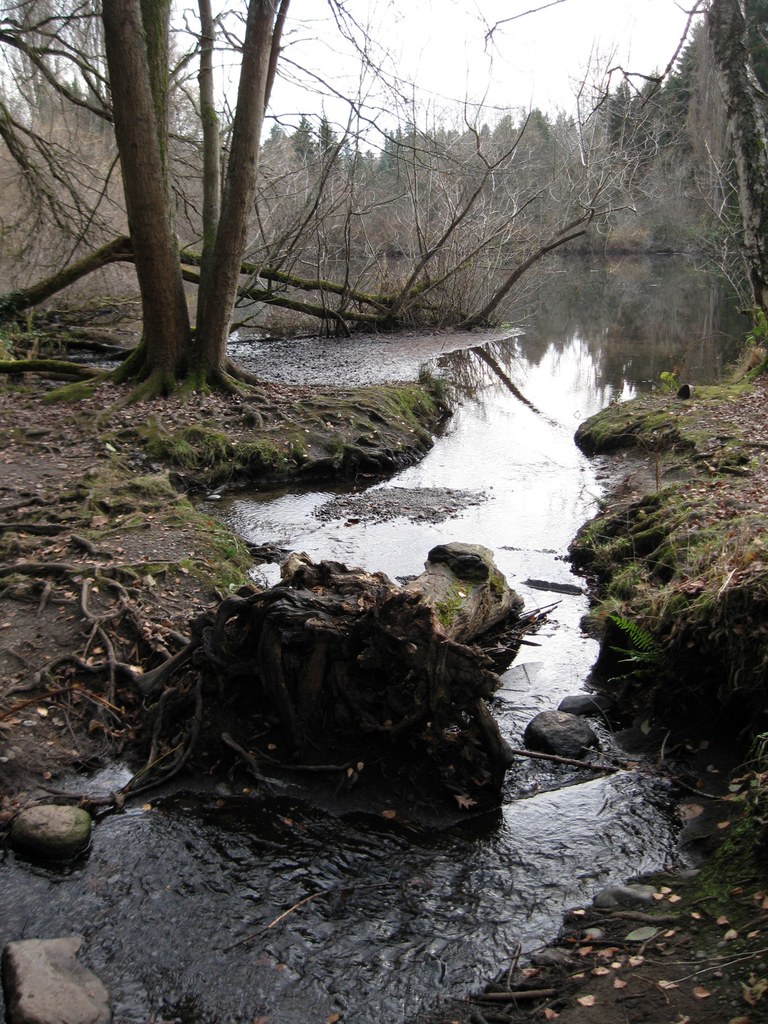
Cross the land bridge again, and this time head right (south) along the edge of the soccer field. When you are past the soccer field, head left and be alert for the large wooden bridge that crosses the outlet stream. This is Thornton Creek, which flows on into Lake Washington.
Once you are across the bridge, the southeastern parking lot will be obvious on your left. Continue on a few yards and when you have passed the community garden on your right, head west and continue on the grass past the tennis courts.
Beyond the tennis courts, a sign proclaims "Arboretum." This is a volunteer effort with an interesting history. It was begun some years ago by park steward John Dixon. The Arboretum is an ongoing project. Here, you can explore a small network of paths that leads through an area of restored native vegetation, and there are a few signs to identify certain species. The best time to visit the Arboretum is in the spring or summer, after everything is leafed out.
Return back east behind the tennis courts and community garden, and cross the bridge back toward the soccer field. Then head toward the southwestern corner of the fence, where an obvious path leads into the trees. This seems to be an official trail, but it is more rustic than others in the park. It will rejoin your incoming trail near the western end of the lake, where you can head back to your trailhead.
Parts of this trail are very rooty, and there may be a few blowdowns. The crossing of the outlet stream is on a narrow, rather makeshift bridge that can be slippery. Look the crossing over carefully, and proceed if it seems safe to do so. A trekking pole might be helpful here for added stability.
If anyone in your party is uncomfortable with this particular trail, or with the stream crossing, just return to the soccer field and cross the land bridge between the lakes again. Then head back toward your incoming route on the Trail of the Cedars and return to your trailhead.
During your hike, be alert for a diversity of bird life: the usual mallards will be here, but also buffleheads, cormorants, herons, even an occasional kingfisher. Crows, jays, pileated woodpeckers and robins visit the park, as do a number of other birds.
Volunteers are continuing to remove invasive plants and restore native vegetation. For an informal account of ongoing work, check the Park Steward's blog. If botany is your thing, you might enjoy browsing the more detailed technical presentation in the Twin Ponds Park Vegetation Management Plan.
 Trailhead


