
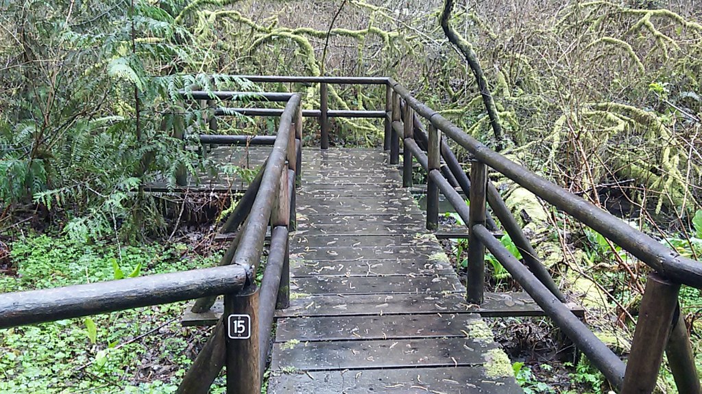
Discover the area that was the original source of Olympia's drinking water--a delightful little green wetland known as Watershed Park. With thirty structures on the 1.35 mile loop, you can be sure to have an intimate look at the workings of a wetland without getting damp yourself.
Originally the site of nearly all of Olympia's drinking water, this small park now provides a site of retreat for residents. The city operated the waterworks here, and relics are still visible if visitors look carefully. The area was saved in 1955 by the citizens who opposed a logging operation slated for Watershed Park.
The park also boasts the source of Moxlie Creek. This spring, officially named Moxlie Creek Springs Basin, is one of the largest in the region. This accounts for the remarkable wetness in the area -- springs creep and flow around fragrant skunk cabbage and venerable mossy-limbed branches, making its way around and about to create Moxlie Creek.
Beginning from the G. Eldon Marshall Parking area, descend steeply to the quiet creek, finding a sign lauding the people who were instrumental in saving this haven of nature in the city. Hiking clockwise, the trail begins as a relatively flat one, meandering around and over roots and boggy areas.
Where it is not made of wooden structures, the trail is graveled or dirt, but with one or two steep, narrow sections, this is not a place for strollers or wheelchairs. However, those able to navigate a trail by themselves or with a little assistance will love how close to nature this trail brings them.
The way is well-signed, with trails branching off to various pedestrian entrances.
Watershed Park

-
 Length
- 1.36 miles, roundtrip
-
 Elevation Gain
- 150 feet
-
 Highest Point
- 300 feet
Parking Pass/Entry Fee
None
Discover the area that was the original source of Olympia's drinking water--a delightful little green wetland known as Watershed Park. With thirty structures on the 1.35 mile loop, you can be sure to have an intimate look at the workings of a wetland without getting damp yourself.
Continue reading
Hiking Watershed Park

WTA worked here in 2019!
Watershed Park
Map & Directions
 Trailhead
Before You Go
Parking Pass/Entry Fee
NoneWTA Pro Tip: Save a copy of our directions before you leave! App-based driving directions aren't always accurate and data connections may be unreliable as you drive to the trailhead.


