Trails for everyone, forever

Home Go Hiking Hiking Guide Willow Lake Trail
link

Willow Lake Trail

North Cascades > North Cascades Highway - Hwy 20
48.7079, -120.9779 Map & Directions
Length
23.5 miles, one-way
Highest Point
2,880 feet

Highway 20 is closed from Ross Dam trailhead (milepost 134) to Early Winters (milepost 178) for the season.

One of the suspension bridges along the East Bank Trail. Photo by racheljlp. Full-size image
  • Dogs not allowed
  • Lakes
  • Established campsites

The Willow Lake Trail is part of the East Bank Trail in the North Cascades National Park. Willow Lake is a small lake along the route and sits on the north end of Ross Lake. Continue reading

Rating
0.00 out of 5

(0 votes) Log in to rate

Hiking Willow Lake Trail

The Willow Lake Trail is part of the East Bank Trail in the North Cascades National Park. Willow Lake is a small lake along the route and sits on the north end of Ross Lake, a hop, skip and jump from the Canadian border.

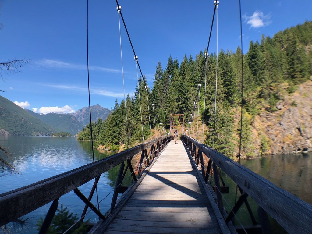
Hikers will have to start at the East Bank Trailhead along Highway 20 and walk nearly the entire eastern shore of Ross Lake before reaching Willow Lake. This part of the hike starts out in the forest before following right along the lake shore for many miles. After a little over 15 miles, the trail turns east and climbs up a valley on the Lightning Creek segment, which swings back to he west, trending towards the lake again and passing by Willow Lake. There is camping at the lake, but hikers need to get a backcountry camping permit to stay the night. Sidetrips along the way include Desolation Peak and Hozomeen Lake.

Hike Description Written by
Multiple authors contributed to this report, WTA Community

Willow Lake Trail

Map & Directions

Trailhead
Co-ordinates: 48.7079, -120.9779 Open in Google Maps

Before You Go

A $26 backcountry permit is required to camp overnight in North Cascades National Park. Permits must be picked up in person at one of the park's Wilderness Information Centers

Highway 20 is closed from Ross Dam trailhead (milepost 134) to Early Winters (milepost 178) for the season.

See weather forecast

WTA Pro Tip: Save a copy of our directions before you leave! App-based driving directions aren't always accurate and data connections may be unreliable as you drive to the trailhead.

Getting There

From Marblemount, drive east on Highway 20 for 33.0 miles until you arrive at the trailhead on the left side of the highway. There is enough parking for about 25 cars.

More Hike Details

Trailhead

North Cascades > North Cascades Highway - Hwy 20

North Cascades National Park

You can improve or add to this guidebook entry

Willow Lake Trail

3 Trip Reports

Hiked here recently?

Submit a trip report!
 
Trip Reports