
I arrived at the trailhead for the Sugarloaf Mountain Hike at 9:00 am on Tuesday morning. There were 9 cars in the parking lot when I arrived, although I only encountered a handful of other hikers on the trail. The parking lot is located in a pleasant little forest and offers a picnic table for those wanting to sit and relax. Note that the road to the top of neighboring Mt. Erie is currently only open on weekdays.
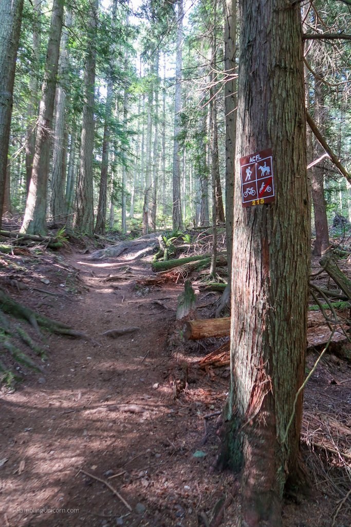
Before arriving, I’d read about the importance of bringing a map so I was prepared. There is no single obvious trail to the top of Sugarloaf from the trailhead. The Anacortes Community Forest Lands include a network of trails to choose from – which is great because you can design your own route. However, it can also be a little confusing if you don’t know where you’re going. I downloaded a Sugarloaf Mountain and Mount Erie Loop map from Alltrails.com before I left – which was a good thing as I had limited cell reception after I arrived.
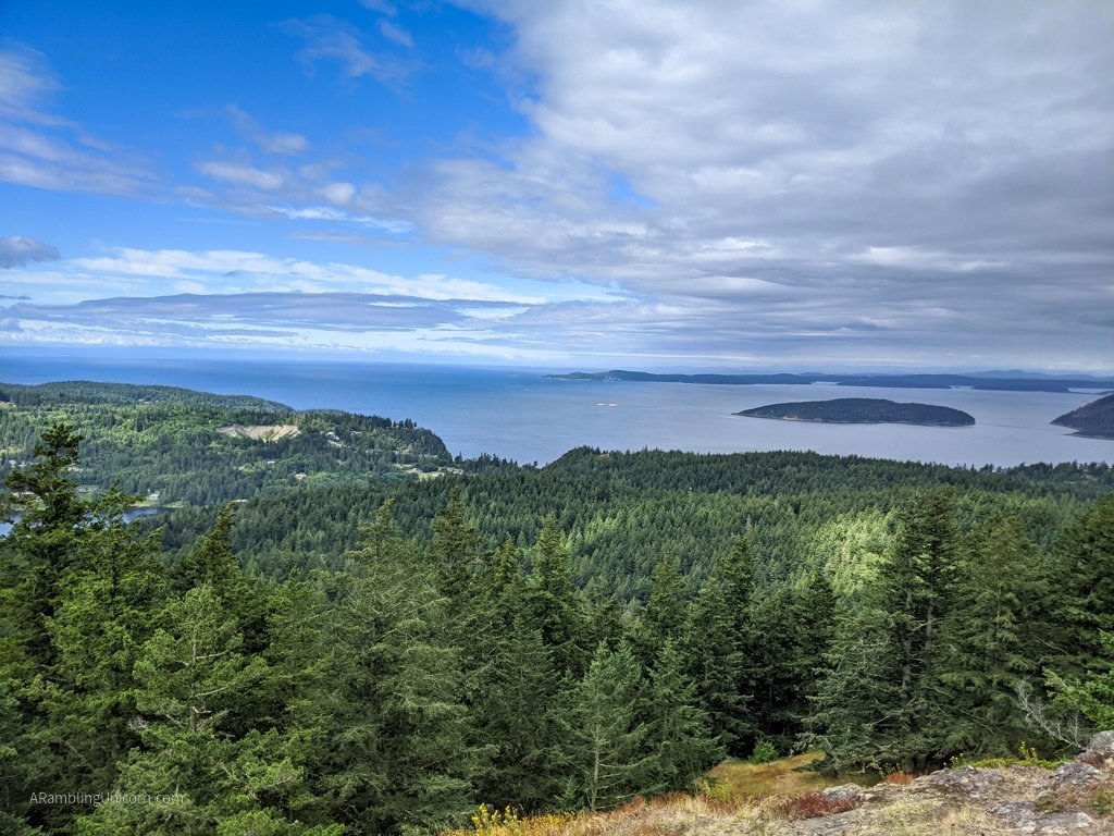
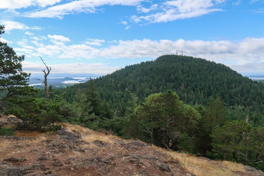
I took Trail 215 all the way to the top and was rewarded with lovely views of Mt. Erie and the Puget Sound. I was tempted to continue on to Mt. Erie as well, but I’m recovering from COVID and have to take things slow. Even making it up Sugarloaf was a little victory for me.
The trail is a little muddy at times but it was easy to avoid. Otherwise the trail is in great shape.
For more details and photos on my hike, feel free to check out my blog:

Comments