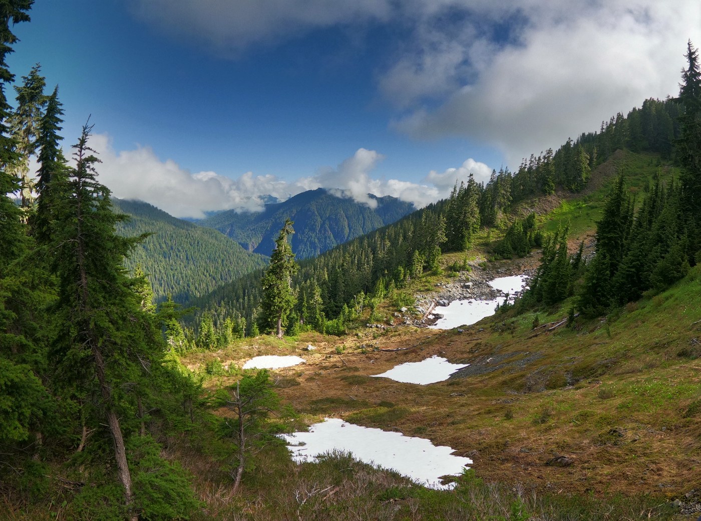
We did a thru-hike of the Six Ridge from Upper South Fork Skokomish to North Fork Skokomish (Staircase).
Day 1 - Started at the Upper South Fork Skokomish trailhead. The trail was challenging with several steep areas and one ford. We opted to take the shoes off and put on sandals as the rocks were too slippery to cross. There are a few meadows that you pass through where it is difficult to find the trail. We did some route finding a couple miles prior to Sundown pass due to the lack of markers on the opposite side of the meadow. After a few minutes we were back on the trail heading to the pass. There were also several tarns going up to the pass and there were plenty of water sources from streams/rivers along the way. We dropped down over the pass to Sundown lake to camp for the night. There is a wonderful site on the opposite side of the lake and we had the area to ourselves for about 1 hour before a few families came and set up camp across the lake from us. Total of 6 tents at the lake that night (more then expected). We had a bear up on the slope behind the campsite and enjoyed watching it traverse from one side of the forest to the other. Total of about 8.6 miles with around 3,000 ft in elevation gain.
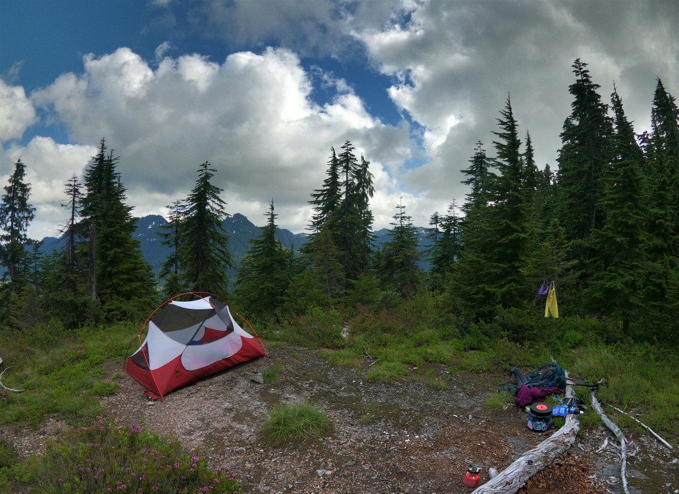
Day 2 - Started from Sundown Lake and hopped onto Six Ridge trail. The trail was in better condition then expected and we climbed up to Six Ridge Pass without any issues. McGravey Lakes was absolutely beautiful and we wished we had stayed here due to the solitude and views. Next time we would stay at McGravey lakes instead of Sundown lake. Pay close attention for cairns and pink/orange flags tied to trees/bushes to mark the trail as there were marshy meadows where the trail was more challenging to find. Today involved more consistent gain and loss of elevation along the ridge and dropping into various lakes and basins along the path prior to camping at Belview for the night. There was plenty of water along the trail through Belview. We saw another bear today above the trail on an exposed slope and a bald eagle flew by which was festive and a neat experience for it being the 4th of July. About 5 miles today with the greatest continuous gain of elevation from Sundown Lake to Six Ridge pass of about 800 feet (but there was quite a bit of dropping several hundred feet and then climbing back up that amount again). We had Belview to ourselves that night as another party of two decided to find a place on the ridge about 1.2 miles away in a basin to camp for the night.
Day 3 - This was a long one with a ton of elevation loss. Started at Belview and climbed up to the highpoint of 4,550 on the ridge prior to the usual rolling up and down the ridge. Make sure to bring water for this section of the trail as there aren't any reliable streams from Belview to Big Log camp at the bottom of the ridge about 5.4 miles away. The most difficult part of the way was the switchbacks down to the river at the bottom. The trail is overgrown and requires you to pay attention to where you are as there are times where you need to look for flags to stay on track. Once you get to the bottom of the ridge, make sure to look for the cairns to tell you where to ford Seven Creek before finding the main bridge to get onto the other side of the North Fork Skok and Big Log camp area. We missed the cairn several times and climbed back up on the cliff to the left of where the easily-seen trail ended to see if we could figure out where to go next. My buddy and I got our wires crossed and realized we needed to ford this river before finding the bridge for the second river. This river was nearly knee-high so I focused quite a bit on not letting the cold-water make me go too quickly so I wouldn't fall over. It was smooth sailing on the other side of Seven Stream to the bridge and then from Big Log to Staircase Ranger area. About 11-12 miles for this leg.
Great trip. We slept with the fly 1/2 on so we could see the stars if they came out. We lucked out with no rain and the cooler temps (mid-50s) made climbing to the ridge enjoyable.
Total hiking for us was around 26-27 miles including little side adventures to find the trail. :-)


Comments