My hiking buddy Keith suggested we do Juniper Peak and Tongue Mountain. He had been there a few times before and liked its big rewards for little effort. We met in Randle at 8:00 and made the 45 minute drive to the trailhead. The last four miles on Road 2904 were occasionally rough but generally not too bad. There are lots of diagonal drainage channels across the road, what the forest service calls "water bars", and some of them are pronounced. I was following Keith in his Outback, which I don't believe has any more clearance than other passenger sedans, and it handled the road just fine as long as he went slowly over the water bars.
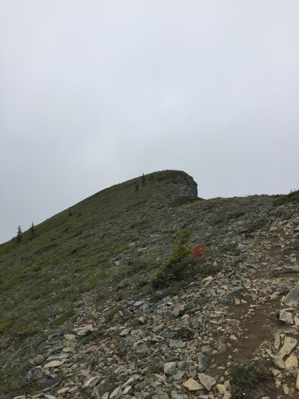
The weather was overcast when we got there, but the forecast was for gradual clearing. We decided to tackle Juniper Peak first. Much of the trail up the ridge has a deep V profile, with tracks predominantly made by mountain bikes and motorized dirt bikes. This wouldn't pose much of a problem to hikers except when it rains and creates slippery mud from which there would be no escape. Today it had mostly dried out and traction was adequate.
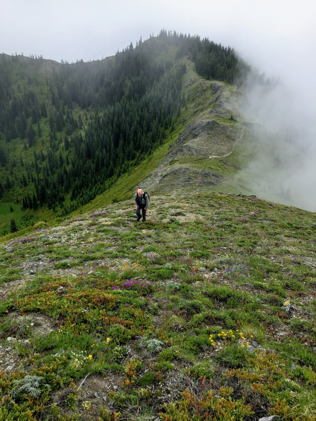
At midpoint between the trailhead and summit, we passed through a gauntlet of aggressive mosquitoes which forced us to stop and apply bug repellent. By the time we arrived near the vicinity of Juniper Peak, the clouds were starting to clear out. Wildflowers were also in full bloom. There was one small snow patch remaining on the north-facing side of the peak. We made our way to the summit and were happy to find no bugs there. This allowed us to take a long break to enjoy the territorial views. Mount Rainier and Adams were obscured but visibility was good nevertheless.
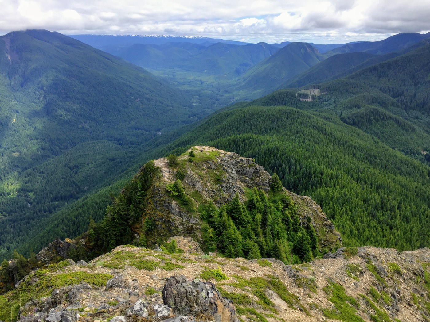
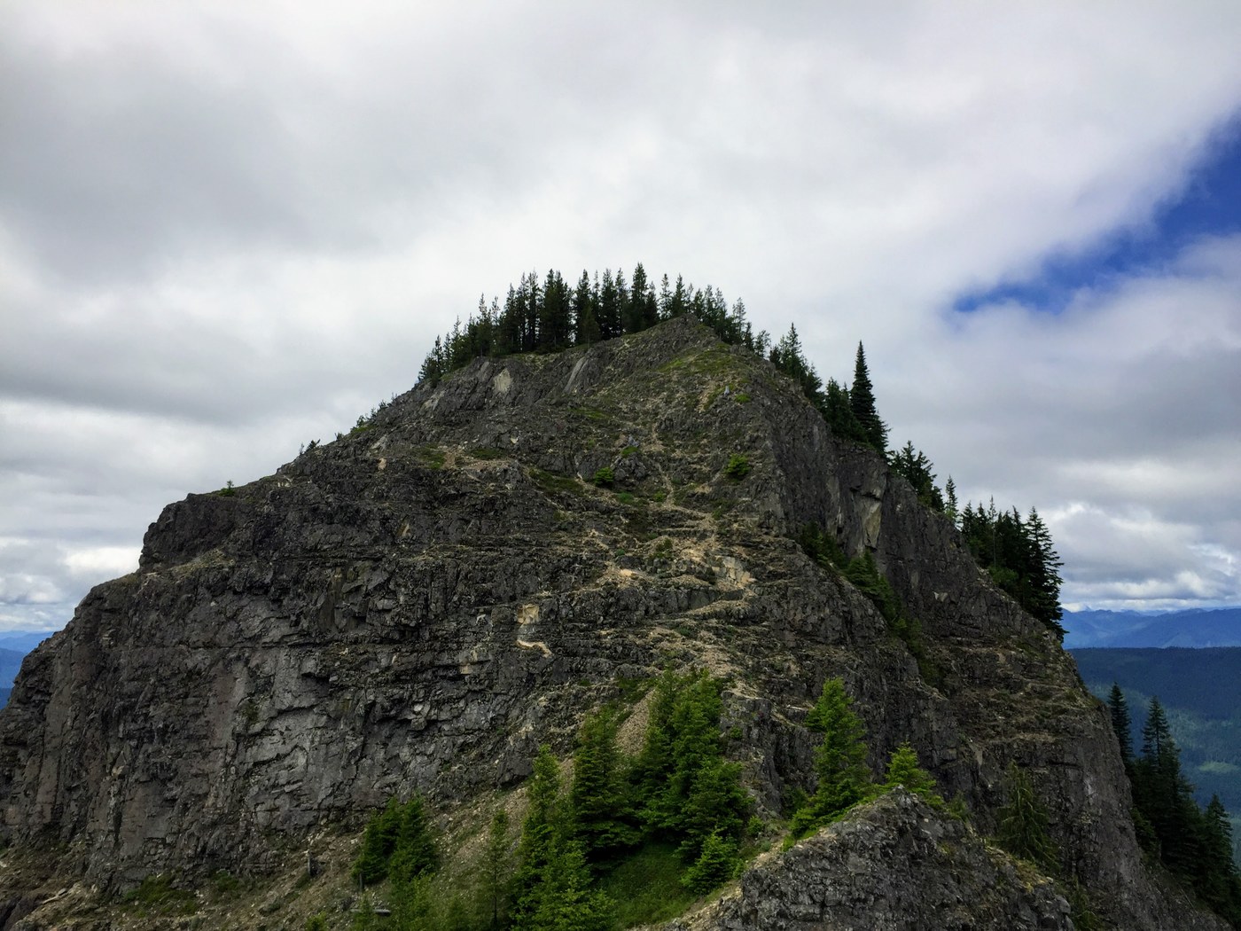
After our break, we retraced our steps back to the trailhead, then started up the Tongue Mountain trail. That trail was much flatter and wider. It iooked like four-wheel ATVs were responsible for this improvement. We made our way up the short grade, then turned right on a trail blocked by deliberately placed logs with a sign laying horizontally on the top that says "Hikers Only". This trail gradually ascends past forest cover and brush, mostly thimbleberry, which encroaches heavily on the trail. Soon we were at a saddle between two peaks. Going right (south) took us to a wide, flat, treeless sub-peak with breathtaking views. The true summit stood a short way to the north.
After taking in the wonderful panorama at the sub-peak, Keith took a break while I went back to the saddle and made the short scramble up the north peak to the summit. There tucked into a grove of pine trees and bear grass I found an excellent campsite, complete with two rock chairs and a nicely made rock fire ring. The views from this vantage point are open towards the south, east, and west.
The short jaunt back to the trailhead put us at 9.3 miles, 3000' elevation gain, and 6 hours 42 minutes of combined hiking and break time. This would be a really good Spring hike.


Comments