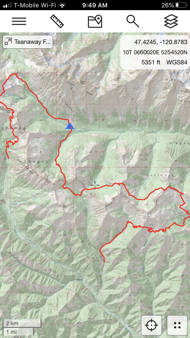
I had hoped to route a 25-30 mile path through the Teanaway by all means necessary, figuring it would provide a premium bang for my buck on a summer weekend. So on Saturday morning I logged off Caltopo, got picked up by my cousin, and drove out to Bean Creek to start this grand “Tour Du Teanaway”.
Bean Creek to Navaho Pass
We started up bean creek, which was equal parts steep and humbling… but mercifully short, thankfully, as after 30 minutes or so of wheezing and cursing we met the intersection to Earl Peak/Standup Creek. From there, we zig-zagged up and over a shoulder and then down into Standup Basin. My inclination to cut across the basin off-trail nearly boiled over, but I did the right thing and continued down to Standup Creek and (sigh) back up to another pass that looked out over Navaho Basin. This section had some mosquitoes and climbs, but was otherwise pleasant. There is great camping on the ridge here.
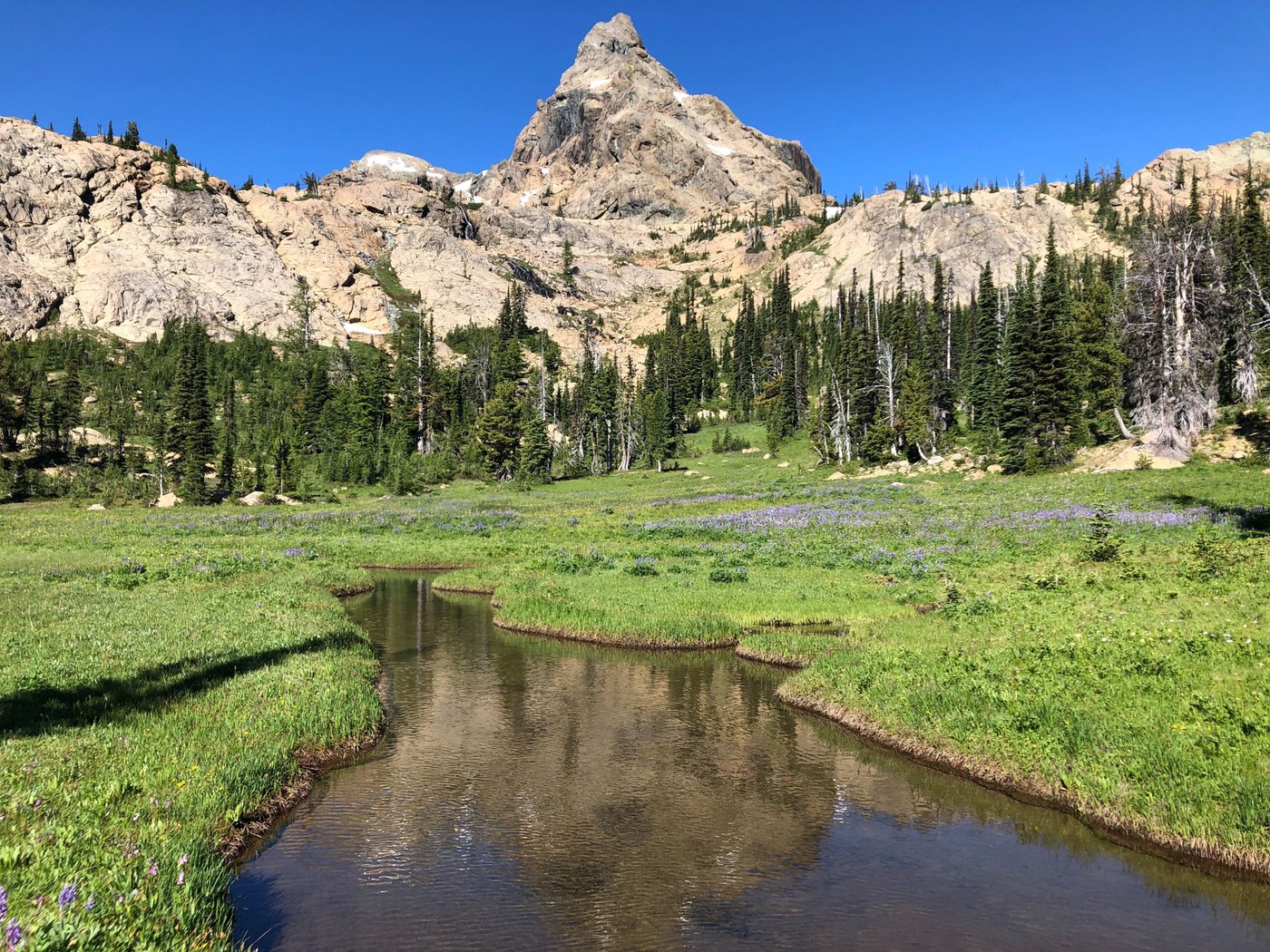
Predictably, Navaho basin was a popular destination for overnighters and was looking mighty lush and welcoming when we rolled up. The geology and colors of Navaho Basin are something else, and I always appreciate time spent here. From there, it was up through a rocky moonscape to Navaho Pass, where we turned left on the Old County Line Trail and ate a quick and comically unhealthy lunch in the shade.
Old County Line Trail/Hardscrabble
Continuing westward, we ran into some navigation issues in trying to find where the OCLT cuts into Hardscrabble basin and did have to go overland for a hundred yards or so before we were back on track. Per my Forest Service maps, it seems the best routes are up over the peak or down below, taking a side trail from the upper basin.
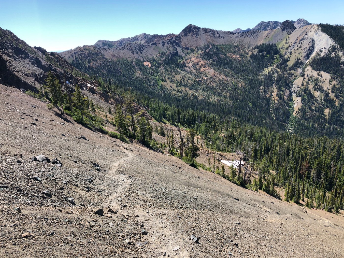
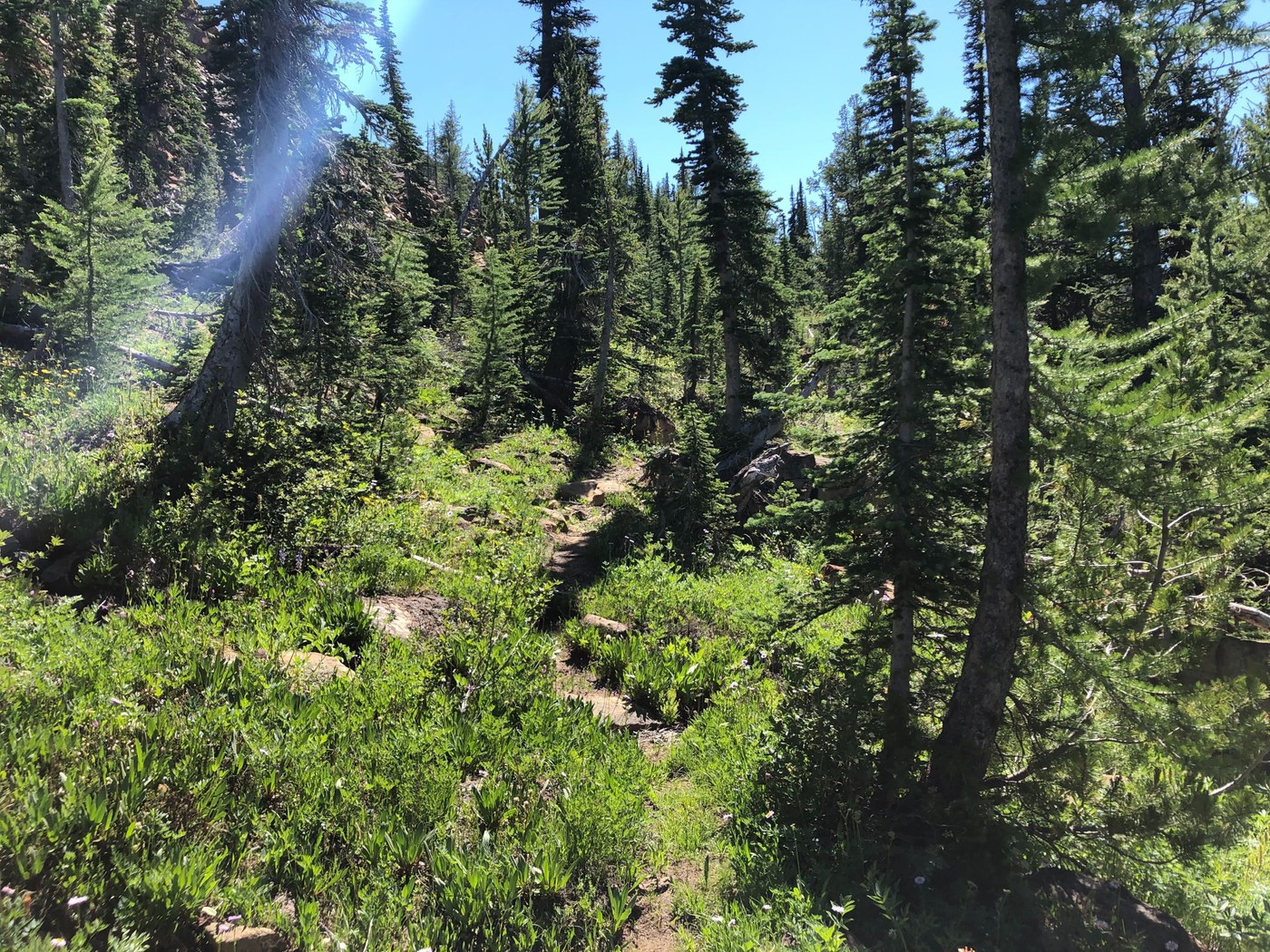
Regardless, the drop into Hardscrabble was not ideal. It is a series of short, very steep switchbacks cut into a hill that seems to be composed of extremely fine scree; it might even be ash. Doable, for sure, but not particularly fun. Once in the basin, the trail is without doubt “lost,” and has clearly seen little maintenance (which is a bit of a shame because it is A. stunning and B. a perfect way of connecting many disjointed trails throughout the area.) We were able to make our way through it fine, albeit slowly and with the help of many small cairns distributed throughout the overgrown footpath. Getting back out of Hardscrabble on the north side of Bean Peak was an especially difficult chore, as it is a short but nearly vertical climb through another nasty scree field.
Fourth Creek Basin to Turnpike
Fourth Creek basin on the other hand, was gentle and gorgeous. We grabbed water here, took in some meadows, and kept scooting. From here, we hopped down into Beverley Basin, which was pleasant, but lacked the 360-degree views we experienced most everywhere else in the Teanaway. We were starting to feel quite exhausted, and decided to end the day by hopping down into Turnpike Basin to eat dinner and set-up camp.
Turnpike Basin to Ingalls Creek
This proved, I think, to be a good choice, but the drop into Turnpike was steep and made my joints ache. Would NOT want to have climbed this at the end of the day to say the least. The bottom of Turnpike was flat and leisurely, so making the final push to Ingalls Creek wasn’t too bad and there were surprisingly few mozzies to fend off. My phone registered 17.3 miles and several Empire State Buildings worth of climbing.
Ingalls Creek to Lake Ingalls
On day two, we woke up at the base of Mt. Stuart (holy cow, by the way), and marched up Ingalls Creek Trail to Ingalls Lake. Though it was the longest sustained climb of the trip, it was not particularly challenging, was well-maintained and wound through some pristine meadows. I had a pep in my step through this whole section, which certainly peaked as we popped up over to see Ingalls Lake for the first time. I’m not going to go into Ingalls Lake much, but needless to say it is great and I’m happy I live relatively close to it. We did have a really hard time finding the eastern route around it--so bad in fact that I gave up and went around the western side of the lake.
Ingalls Way to the Esmeralda Trailhead and HOME
Finally, we hiked out via Ingalls Way back down to the Esmeralda Trailhead, which was quick and well-trodden. We were able to get a ride from a couple and their dog back to Bean Creek. This wasn’t part of the original plan (which was to take the Iron Pass Trail up and over to Beverly, but the heat was punishing so we stuck out our thumbs.) Overall, this was a very interesting and diverse route through a very special region of the state… but it is strenuous and likely not everyone’s idea of a relaxing weekend getaway.


Comments