Cedar recently reminded me that I had never taken her to Cathedral Lakes. “You went there with Kyle, and we haven’t been anywhere in the Pasayten for at least ten dog-years”. I had to agree with that, my only previous trip to Cathedral Lakes had been in1998 on a Boy Scout 50-miler with Kyle and other members of Troop 570. It would also be an opportunity to scout the basin for a future Larch Season trip. After consulting maps, guidebooks and WTA reports I settled on a route that was similar to our route in 1998, but in reverse and ending over Windy Peak. Kyle had the time off and was easily recruited for a revisit to the area. We were also joined by two frequent backpacking companions, my sister Mary and our friend Anita. The weather forecast was decent, if not optimal; clouds and showers during our visit to Cathedral Basin, but sunny for the rest of the trip including the Windy Peak section. We planned for six days, following a clockwise route, starting and ending at the Chewuch Trailhead.
We met in Wenatchee and drove north to Tonasket. North of Okanagan we started noticing smoke in the area. I had checked InciWeb that morning and saw no active fires in our area. By Tonasket the smoke was continuing to thicken. We stopped and called the Forest Service and were told that the smoke was from the Palmer Mountain Fire that had ignited the previous day. We were assured that the fire small and did not pose a hazard to our plans. It did give us pause however, to consider alternate routes out of the Chewuch if necessary. We were to revisit those thoughts later in the trip. We drove past the fire east of Loomis. Crews were working on it, including 2 helicopters making water drops.
The road to the Chewuch Trailhead is in good condition, actually paved most of the way, although the pavement is in poor condition in places. The trailhead has an outhouse (open), and a trash bin. A Northwest Forest Pass or equivalent is required as is a self service wilderness permit. Over the course of the trip we were twice asked if we had filled out a permit, although we did not have to show it.
Day 1
We shouldered our packs and saddle bags about noon and headed out on the Cathedral Driveway Trail (510A) under mostly sunny and warm conditions. The Cathedral Driveway Trail drops about 1000’ in about 2 miles, mostly through burned lodgepole pine forest, and meets the Chewuch River Trail (510). We made good time on good trail and stopped for our first night a couple of miles beyond the junction with the Tungsten Creek Trail (534).
Day 2
Our goal for Day 2 was Upper Cathedral Lake, about 12 miles and 2500’ of elevation away. As we continued along the Chewuch River the trail steepened and as we gained elevation the lodgepole pines were joined by Englemann Spruce and Subalpine Fir. We soon reached the junction with the Four Point Creek Trail (505). Recent WTA reports indicated that beyond the junction we would have to contend with about a mile of continuous piles of blowdowns. As we entered the blowdown zone however, we were pleased to see freshly cut logs alongside the trail. A short distance farther on we encountered a Forest Service trail crew at work clearing the rest of the section. We chatted with them briefly and thanked them for their work. They expected to be finished that day or the next. Although we still had some blowdowns to navigate, none were major obstacles.
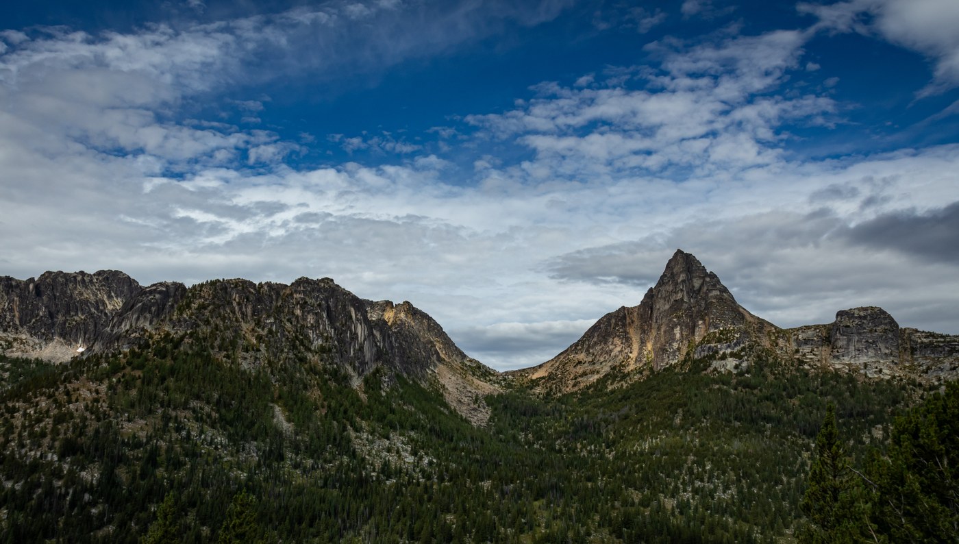
A few more miles and we reached the Lesamiz Trail (565) which would take us out of the Chewuch River valley and into the high country of the Pasayten. As we climbed out of the valley, we began to get views of the peaks, first the rugged north face of Remmel Mountain, soon to be joined by the gentler western slopes of Amphitheater Mountain. The mixed forest of pine, spruce, and fir gradually gave way to open steppe interspersed with smaller stands of trees which now included larches, the iconic deciduous conifers of the eastern slopes of the North and Central Cascades.
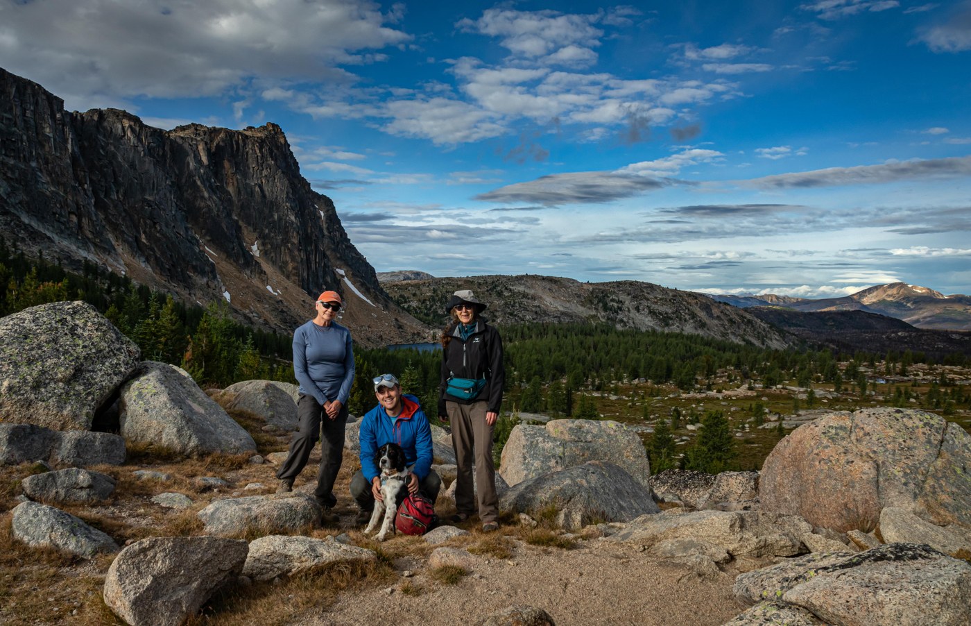
For the final leg of Day 2, we headed west at the junction with the Boundary Trail (533) which runs from Glacier National Park to the Pacific Ocean. The Boundary Trail would take us the last few miles to Upper Cathedral Lake and then on for 2 more days to Horseshoe Basin. Upper Cathedral Lake sits in a boulder-strewn basin directly under the north face of Amphitheater Mountain. In contrast to the west slopes of this massive T-shaped peak, the north face is composed of a series of sheer, 800’ high granite slabs that rise nearly vertically out of the lake. East of the lake is Cathedral Peak, another rugged mass of granite, separated from Amphitheater by Cathedral Pass which we would cross the next day. We gratefully dropped our packs at the west end of the lake and set up camp while Cedar had a well-earned soak. The longest day of our trip had begun along a cascading river in a deep valley and ended at a larch-ringed lake in an alpine cirque.
In 1998 Kyle and I had also camped at Upper Cathedral Lake and during the night had been treated to a display of the Northern Lights. This night would be mostly overcast, with a few rain showers, so even if there had been a repeat performance, we would not have seen it. Just before sunset however, a gap in the clouds to the west allowed the sun to briefly light the cliffs of Amphitheater with a warm amber glow. As I sat by the lake with Kyle and Cedar and watched, I could imagine what this cirque would be like in another month, with the larches in peak fall condition, their golden foliage struck by the same evening light that was now painting the cliffs, both reflected on the quiet surface of Cathedral Lake.
Day 3
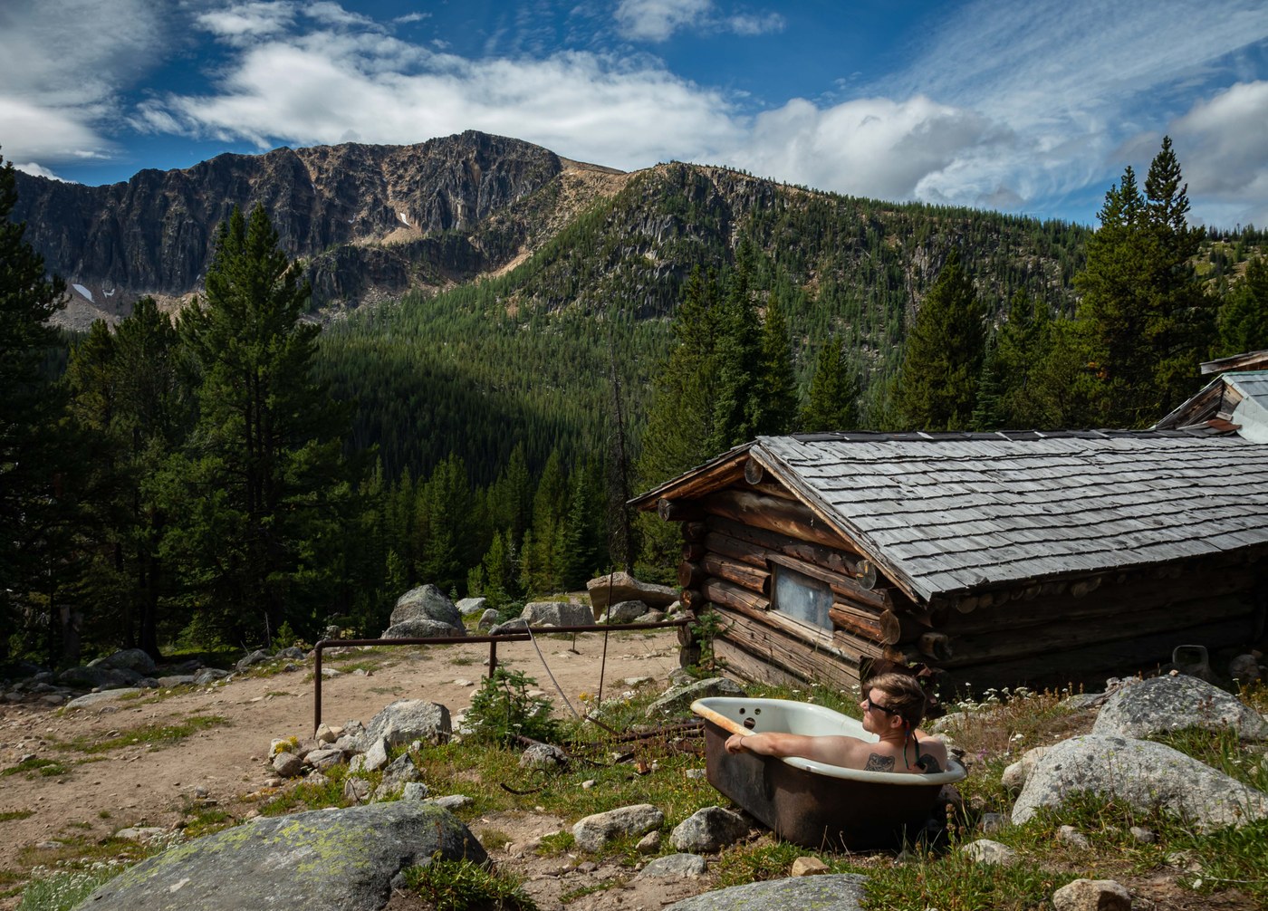
Our third day began with a short climb under partly cloudy skies up to Cathedral Pass, where we stopped for pictures and a last look back at Upper Cathedral Lake, before we left the basin behind. Cathedral Peak and Amphitheater Mountain however, would stay with us for the rest of the morning, and would be joined by Apex Mountain as we travelled west along the boundary Trail. We crossed Apex Pass, dropped into the Tungsten Creek drainage, and stopped for lunch at the abandoned tungsten mine. In 1998 we had spent a night in the bunkhouse which has been restored by a backcountry horse-packer group. The bunkhouse turned out to be infested with mice, so this trip we decided we would continue farther east to Sheelite Pass or Teapot Dome. Cedar was pleased that there was an outhouse. I was able to lighten her load by dumping 3 days worth of poo bags. Before we headed onward Kyle left the group due to a previous commitment back in Seattle, returning to the trailhead via the Tungsten Trail, and the Chewuch River.
From Apex Pass to Horseshoe Basin the Boundary Trail traverses the south slopes of a series of ridges and peaks; Wolframite Mountain, Bauerman Ridge, Teapot Dome, Haig Mountain. It also drops back into mixed forest, again of pine, spruce, fir, and larch. Here however, the forest has been largely untouched by the fires that have repeatedly swept through the Chewuch drainage over the last 20 years.
All day the clouds had been in and out, but in the afternoon they thickened and produced a few showers, eventually heavy enough to cause us to dig out our rain gear for the only time on the trip. After we reached Sheelite Pass we began looking for our next camp. We finally found a suitable combination of a water source and space for our 3 tents at a horse camp just east of Teapot Dome. The rain had stopped and we enjoyed a dry, but breezy evening.
Day 4
The next morning the clouds were gone and there was frost on the meadow adjacent to camp. Frost in the high country heralds some welcome seasonal changes; the imminent end of bug season and the approach of fall colors. This was to be a short day. Our goal was Horseshoe Basin, only about 6 miles farther on the Boundary Trail. Shortly after starting out the trail swung east onto the south slope of Haig Mountain. Here we got our first look at Windy Peak, our objective for the next day where we would spend the last night of the trip. The trail wanders for several more miles, still in forest, and then climbs up to a saddle between Rock Mountain and Armstrong Mountain. Beyond the saddle we broke out of the forest again and back into open steppe country of Horseshoe Basin. Out in the open again, we could see a sizable amount of smoke coming up the drainage east of Windy Peak, in the area of Windy Lake. We had not thought any more about the Palmer Mountain Fire since driving past it on our way to the trailhead. There was no way of knowing if the smoke was from that fire or from a new one, possibly between us and our car. We started thinking again about optional exits and decided that we might be prudent to continue past Horseshoe Basin a couple more miles to Sunny Pass which would give us a short exit to the Irongate Trailhead.
We soon passed Loudon Lake, hardly more than a pond this late in the year. At Loudon Lake we encountered Don McFarland, the volunteer Ranger for the Horseshoe Basin and Sunny Pass area. We chatted for a bit and learned that at 78 he is the oldest active Ranger in the Forest Service. He had been camped at Sunny Pass for a few days and did not have any current information about the fire. When we mentioned that we were heading that way, he told us that there was a good water source at a creek crossing close to the pass. Once we had gotten water and hiked the last bit to the pass, we were relieved to see that the smoke had dissipated. We found a good camp site on a rise just west of the trail, not far from where Ranger McFarland was camped. Our camp gave us an excellent overview of the Horseshoe Basin area. It is open rolling country which invites exploration. From a base camp at Horseshoe Basin or Sunny Pass numerous day hikes on or off trail are available; Smith Lake Trail (361), Windy Peak Trail (342), Armstrong Mountain (which straddles the border), Arnold Peak. A attractive looking 2/3 day loop could also be done taking the Albert Camp Trail (375) over Horseshoe Mountain, returning via the Deer Park Trail (341) and the Boundary Trail.
Day 5
In the morning the smoke had not returned, but there had been another unexpected development, one of us had gotten sick over night. We made a group decision that it would not be wise to continue with our plan to hike over Windy Peak. The Irongate Trailhead was only 5 miles away, almost all downhill. We figured that we could manage that, and it being Sunday there would be a good chance of hitching a ride back to the Chewuch Trailhead and our car. The solution turned out to be simple. We spoke with Ranger McFarland and found that he was also heading out that morning and would be able give us the ride we needed. As we walked to Irongate with him he shared some interesting history of the area. We also learned that in addition to his long career as a professional and volunteer ranger, he had been a middle school history teacher and a smoke jumper.
So our trip ended, not exactly as planned, but on a high note, as is often the case with the best trips. We left with a pooped pup and with plans to return (during larch season of course).
Some trail notes:
Trail conditions: The trails were mostly in excellent condition, virtually no obstacles other than the blowdown section on the Chewuch River Trail which should now be clear. Ranger McFarland told us that the first section of the Windy Peak Trail between Sunny Pass and Windy Lake has some blowdowns, but in the end we did not take that trail. Where the Boundary Trail crosses the high meadows west of Cathedral Basin and again around Loudon Lake there were some rutted areas.
Water access: Cedar reports that she had regular access to water. The only extended dry section was between Tungsten Mine and Teapot Dome. We expected to carry water from Windy Lake for a dry camp on Windy Peak but again, we cut that section of the trip.
Bugs: Mosquitoes were still active at Cathedral Lake, but were scarce elsewhere. Bug season is definitely winding down in this area.
Flora and Fauna: As with bug season, flower season is winding down. There were many patches of arnica and aster, as well as some lupines but the main show is past. We did not see any large mammals, but there was sign of deer, elk, bear, and possibly moose. We saw and heard numerous small mammals. Near the horse camp at Teapot Dome there was a colony of ground squirrels. Within the colony there were several long, shallow trenches with burrow entrances at the end. I presume that the trenches were dug by bears seeking squirrel dinner.
Trip Report
Cathedral Pass Loop, Boundary Trail - Pasayten — Sunday, Aug. 23, 2020
 North Cascades > Pasayten


Comments
Cedar's Best Day Ever! on Cathedral Pass Loop, Boundary Trail - Pasayten
Update re flora and fauna: Kyle reports that he encountered a moose on his way out along the Tungsten Trail. Way cool.
Posted by:
Cedar's Best Day Ever! on Sep 04, 2020 08:20 PM