

Planning this hike was very confusing. There are several places to begin. WTA mentions a few..so you cant be sure of the length or elevation gain, depending on where you start. Several earlier trip reports mentioned starting off FS 7222. But there are at least 3 places along that road where you can access the trail. Looking at the Green Trails map & Gaia, we decided to start at the beginning of Trail 1184. The first photo below is Google map driving directions from Greenwater. The gps coordinates of this location are 47.08373, -121.50856. I tracked the hike on Gaia & recorded 5.9 miles RT & elevation gain of 1231 feet. However we only made it to the 3 way junction (there is a sign here for George Lake). We started late & didnt have enough time to get to the Knob. Consequently, the elevation gain & distance will be more if you actually get to Noble Knob.
The main reason for this post is to give some reliable driving directions. All the FS roads up there are quite confusing. Today the road was snow covered from where we left FS 70.
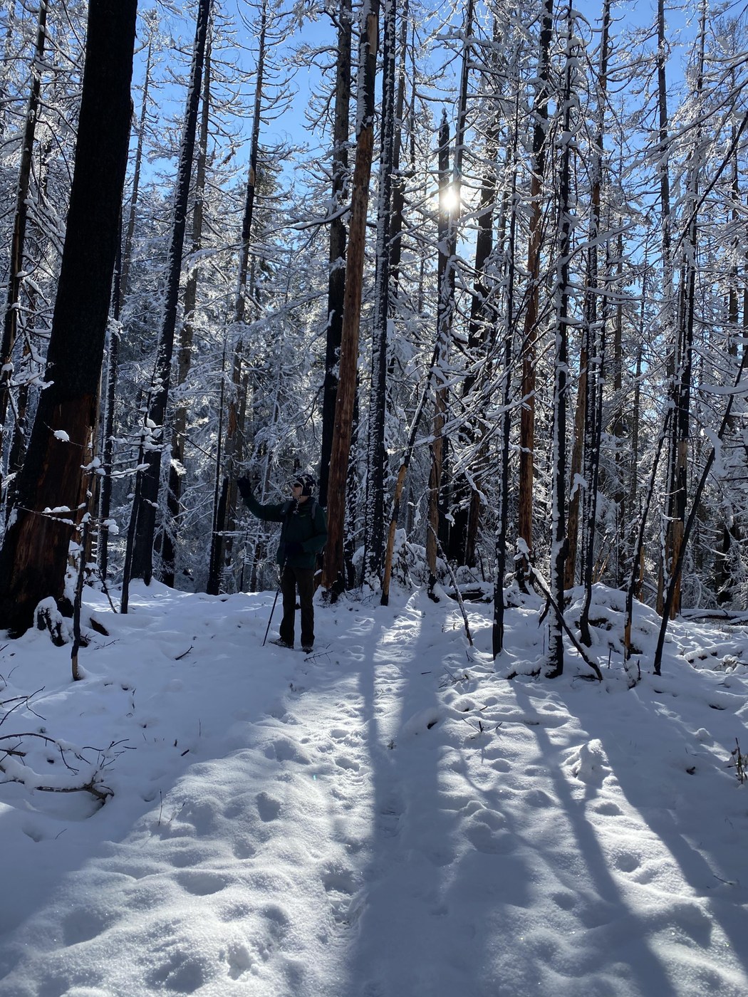
The trail was snow covered all the way. By the time we got to the George Lake sign, where we had our lunch, the snow was about a foot deep. We used spikes part of the way up, & all the way down. The scenery was beautiful, even though we didnt see the Mountain all day. even the burned area is pretty under a few inches of snow!!!


Comments