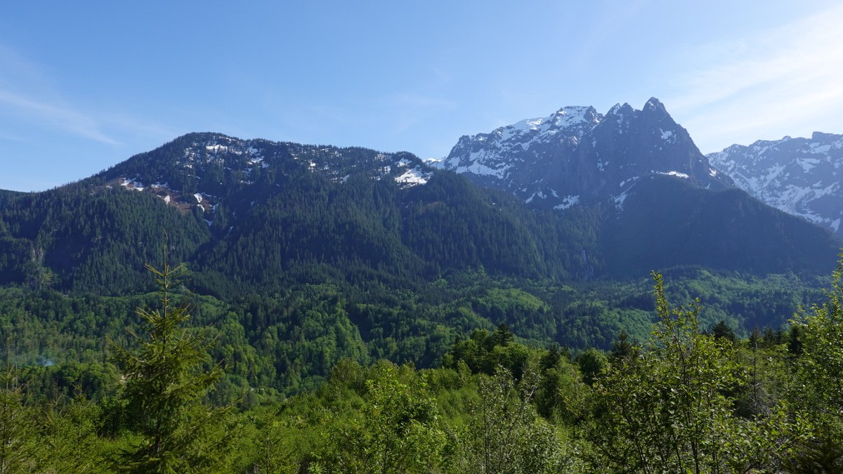
Started at 4pm on a warm, sunny, Saturday afternoon and there was still plenty of parking in the lot. Headed up to the Heybrook Ridge viewpoint – surprisingly no one else was around so we soaked in the beautiful views for quite a while before a few other hikers joined us. We then left so they could enjoy the views by themselves also.
Being such a short, easy hike, we decided to see if we could find the Heybrook Lookout which the map showed just up the same ridge about a mile. We followed the boot path under the power lines up to a power line tower and then down a bit to meet up with the dirt road. We continued on the dirt road under the power lines along the ridge. The road had ups and downs and eventually turned more trail than road, but was easy to follow. At about 1 mile we stopped under a tower since the map (Alltrails) indicated we were now closely paralleling the Heybrook Lookout trail. At this tower, straight ahead (east side) there was an obvious trail on the left (it soon disappeared) and a faint trail on the right. The trail on the right is the correct trail which is more of a bushwhack up a slight hill and then once you crest the ridge the Lookout trail is easily spotted through the trees. We followed orange flagging and soon reached the Lookout trail (less than a quarter mile from the power line tower).
We then continued on the Heybrook Lookout trail for about ½ mile and soon arrived at the lookout. Lots more people were at the lookout and on the Heybrook Lookout trail. Fantastic views from the lookout. We then retraced our route for a total of 6 miles and 1200 feet elevation gain.


Comments
Eva1 on Heybrook Lookout, Heybrook Ridge
I’ve always been curious if it was possible to hike under the lines to the lookout. Thank you for reporting on that! :-)
Posted by:
OlympicEva on May 17, 2021 12:38 PM