
After the road closure, Mt. Mitchell was sadly rendered mostly inaccessible, except via the long and difficult North Siouxon Creek trail - that is unless you know about the alternate route! This unofficial, but evidently quite popular trail (the trailhead was nearly full on a rainy Saturday in early June) is known as Mt. Mitchell via Sugarloaves, and is only a few miles longer than the original Mt. Mitchell trail.
I hiked part of this trail earlier this month, and found it to be in remarkably good shape. The road getting to the trailhead is also in good condition, though be warned that it is gravel and rather steep in places. However, I didn't have time to make it all the way out to Mt. Mitchell, so I can't comment on the state of the entire length of the trail.
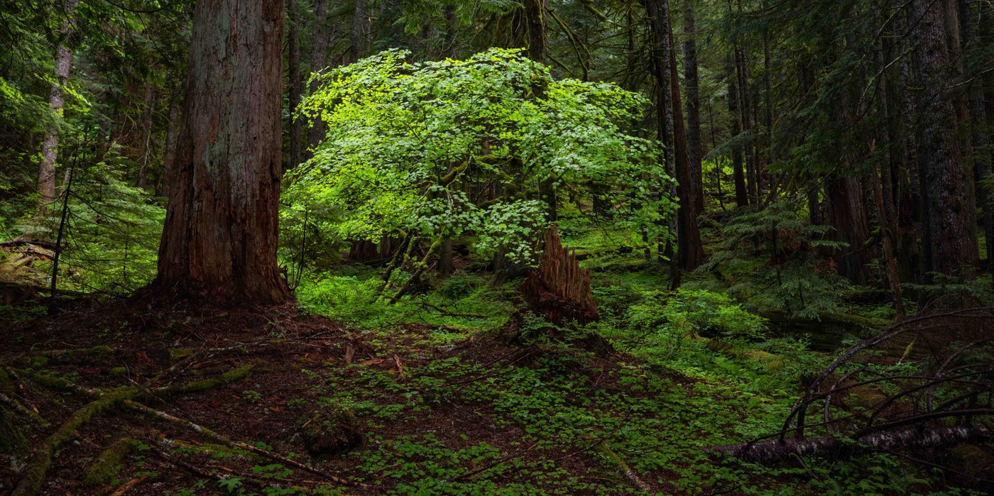
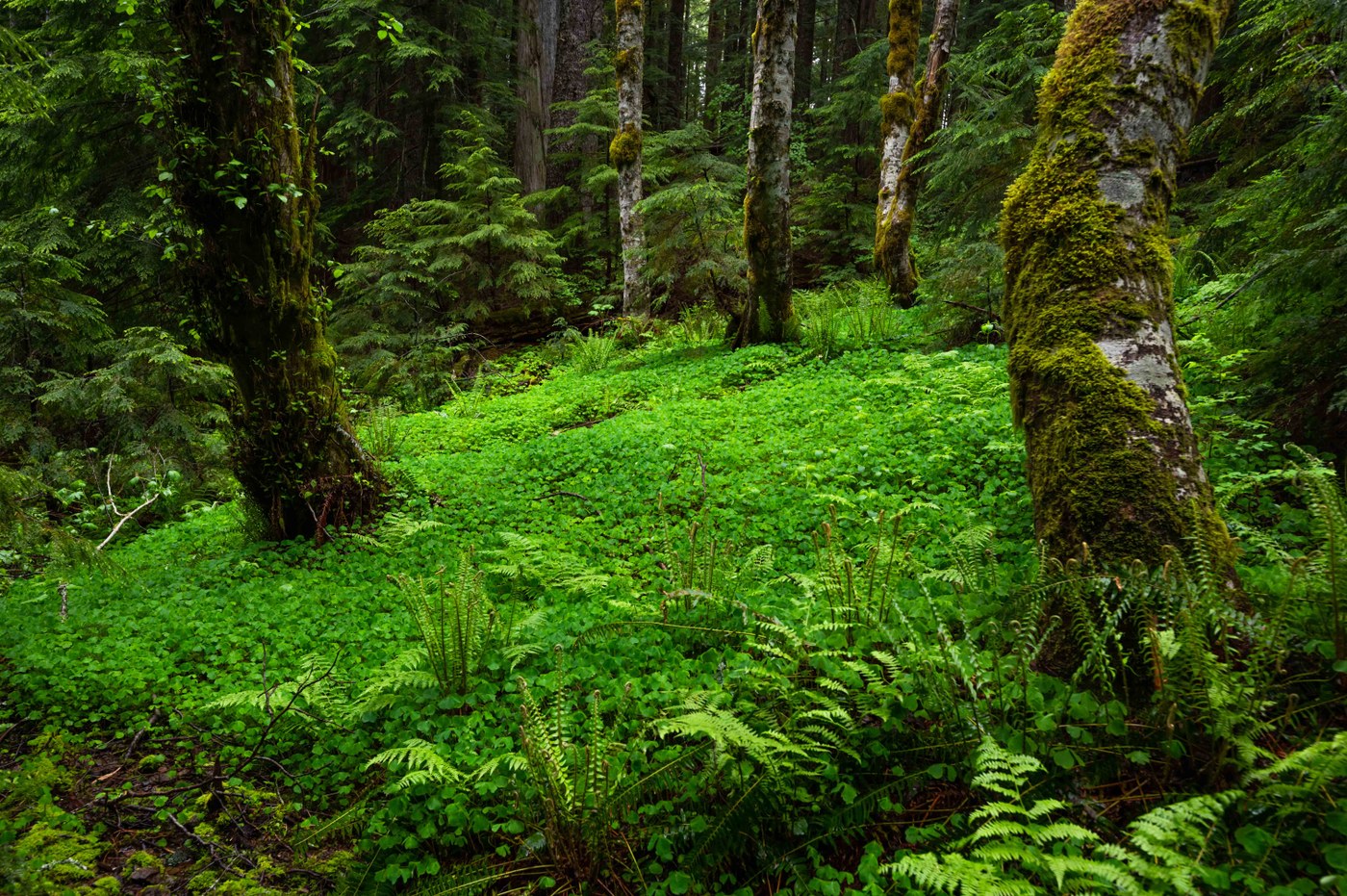
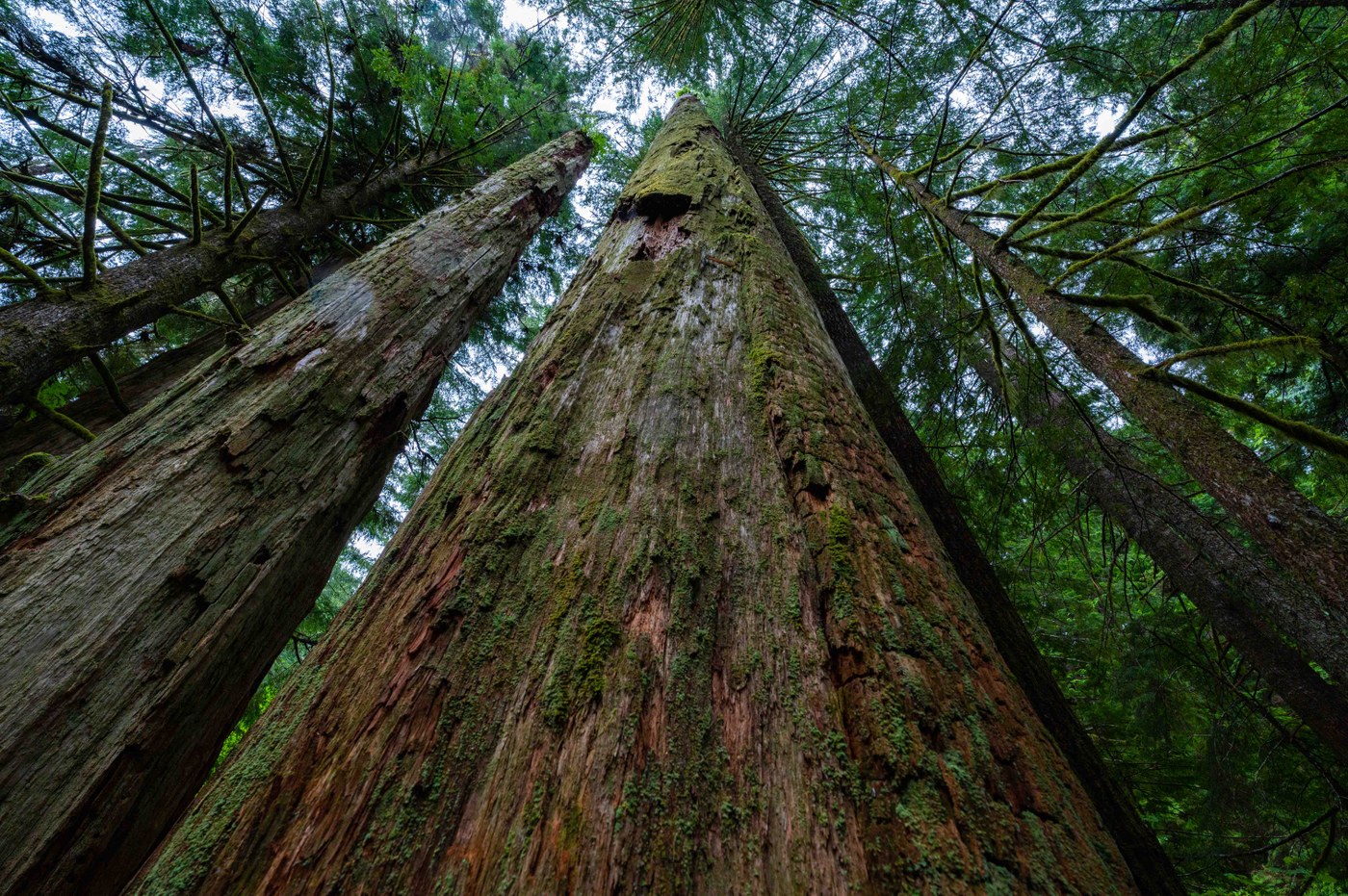
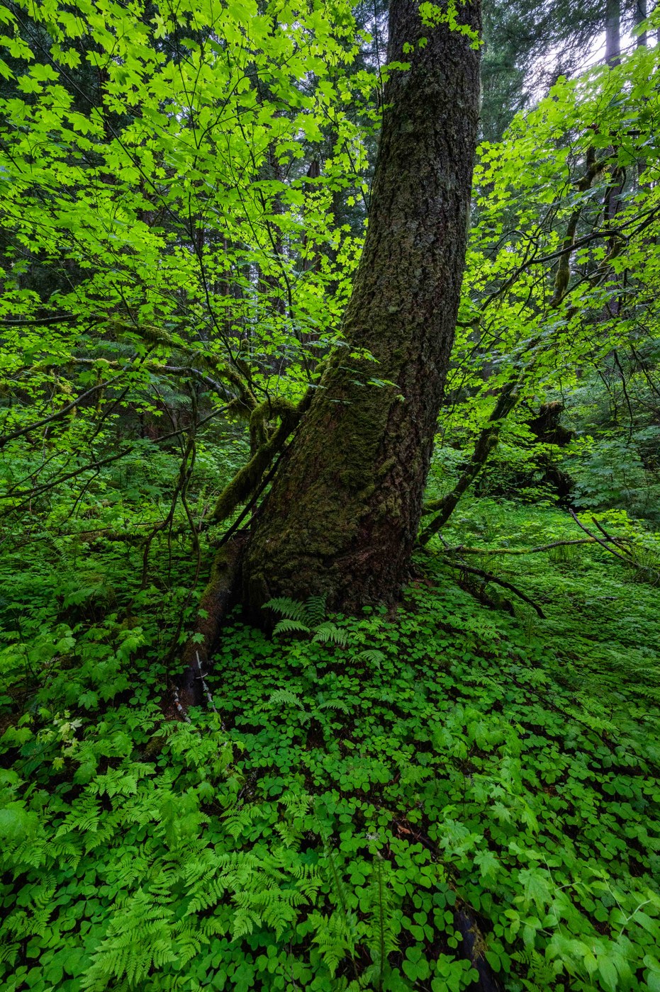
What truly shocked me was how wild this area really is - it's genuine wilderness that has never been logged. The forest was burned about a century ago, but has recovered nicely and there are many giant standing dead snags, as well as a number of big living old growth as well. It's a vibrant and beautiful ecosystem.
Sadly, however, the Washington Department of Natural Resources plans to annihilate the trail and clearcut the heart of what is one of the last remaining areas of roadless, intact ancient forest in Western Washington. The proposed "Serenity Now" timber sale would clearcut 147 acres along the course of the trail in the headwaters of Ole Creek.
We have the chance to stop this - the Board of Natural Resources meets on July 6th to vote on this timber sale, and if enough people voice objection we may be able to convince them to cancel the sale. Comments need to be submitted by next Wednesday (June 30th) to be considered. If would particularly help if you could attend the meeting (held via Zoom) and voice your objections there as well. Details may be found at C4RF.org.
This is a truly special area that deserves to be permanently protected, and the trail officially maintained. Please speak up for it before it's too late!
If you'd like to hike the trail (and I recommend you do), here are directions to the trailhead from OregonHikers.org:
Drive I-5 north to Exit 21 for Highway 503E, Woodland, and Cougar.
Turn right after exiting onto Highway 503, and drive 0.8 miles to a roundabout.
Bear right off the roundabout onto the Lewis River Road (Highway 503) for Cougar, and proceed 22.1 miles.
Where Highway 503 makes a 90-degree turn right, keep straight on the 503 Spur for Mt. St. Helens, Ape Cave, and Lava Canyon to continue 8.3 miles through Cougar.
Turn right and then right again onto FR 10 to go 0.3 miles, crossing the Lewis River on a bridge.
The gravel road curves left, and you’ll continue another 0.4 miles.
Then turn right onto Road S-1000 (seems to be labeled S-6000 at junction), and you’ll wind up on this road for 4.7 miles to a junction at a saddle (keep on the main track and stay left at junctions with logging roads).
Keep straight, and descend 1.0 miles to make a very sharp turn left.
Drive 1.9 miles to the end of the road
Comments
I just read this. Heartbreaking! What happened on July 6th?
Posted by:
veggieliving on Aug 01, 2021 08:29 PM
Unfortunately the board voted to approve the sale, despite the large number of public comments they received objecting to the sale. The fights not over though, and sending comments to WA DNR can still help make a difference!
Posted by:
Illuminations on Aug 02, 2021 09:12 AM
Unfortunately the board voted to approve the sale, despite the large number of public comments they received objecting to the sale. The fights not over though, and sending comments to WA DNR can still help make a difference!
Posted by:
Illuminations on Aug 02, 2021 09:12 AM