Yes there road to the trailhead is rough with huge potholes, SUV did fine. We did see a small hatchback type car at the trailhead, and I mean Honda civic hatch small not outback small, so it's drivable if you're careful and take your time.
This trail is beautiful, mellow at first then past the waterfalls you get some rocky, rooty, overgrown, narrow spots and downed trees to navigate over or under. On the way up, I at 5'1" had to remove my pack to get over one of the downed trees but was able to manage with my pack on on the way down. The creek crossings were easy with waterproof boots. That being said, it was a misty day and we were drenched by the overgrowth being weighed down by the water and on the way out the next day, the water seeped into the top of my boots and soaked my socks completely. I was wearing shorts, wished I was wearing gaiters or pants.
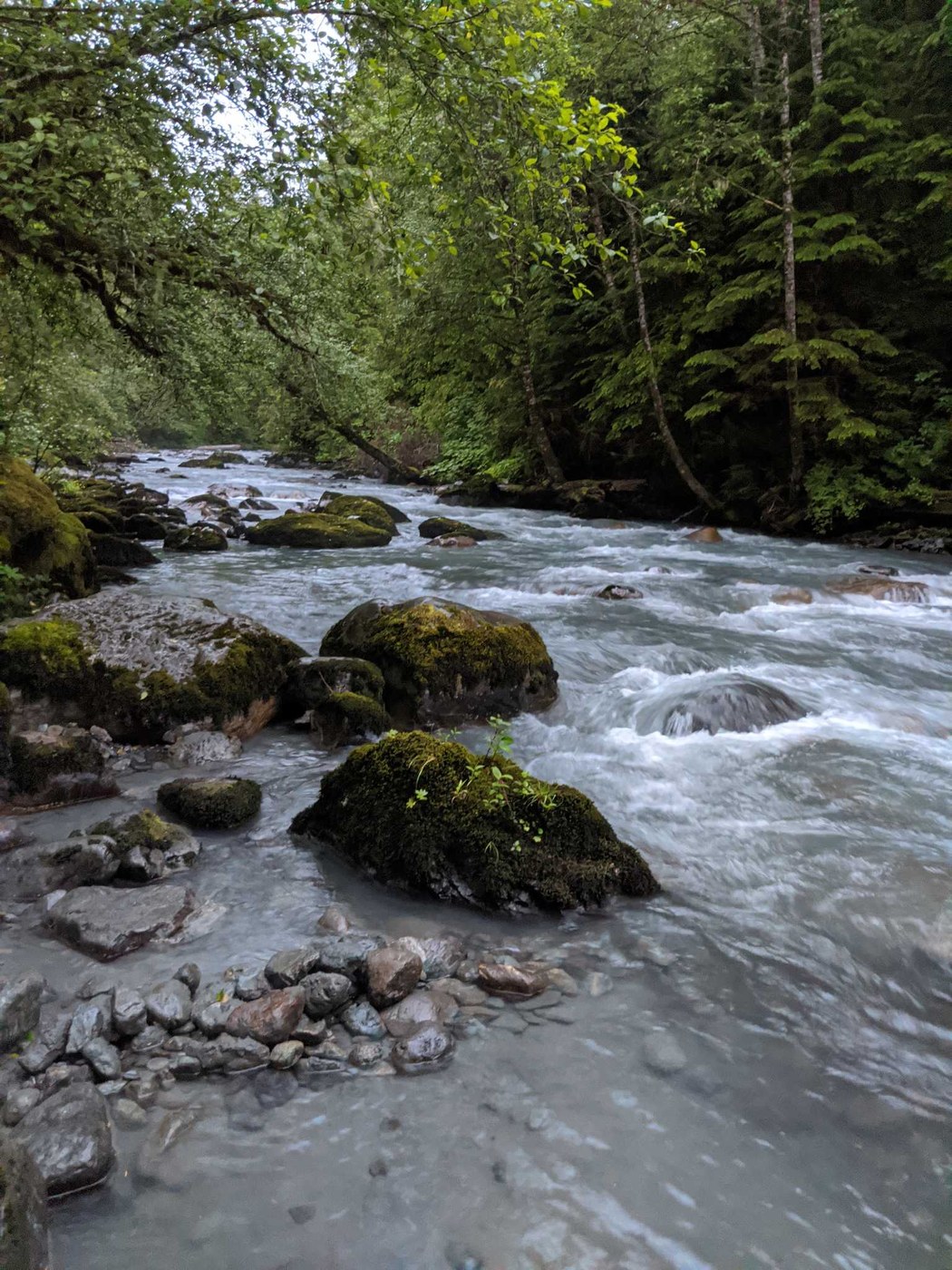
The campsite we chose next to the river at about 5 miles in is very nice and has room for 2 tents and has a fire pit. There is a site that is larger but not right next to the water.
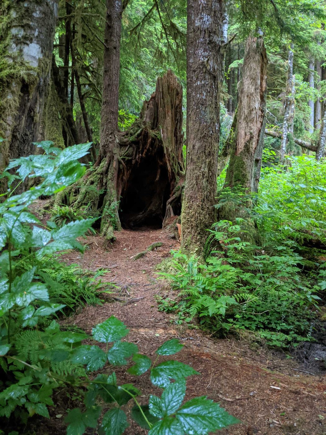
Bring your camera. There's a couple hollowed out trees and much greenery you'll want to snap some photos of, not to mention the awesome waterfalls and rocky riverbed
The trail down to the falls are steep and can be slippery when wet.
Goggle fit said we hiked 5.26 miles to our camp.


Comments