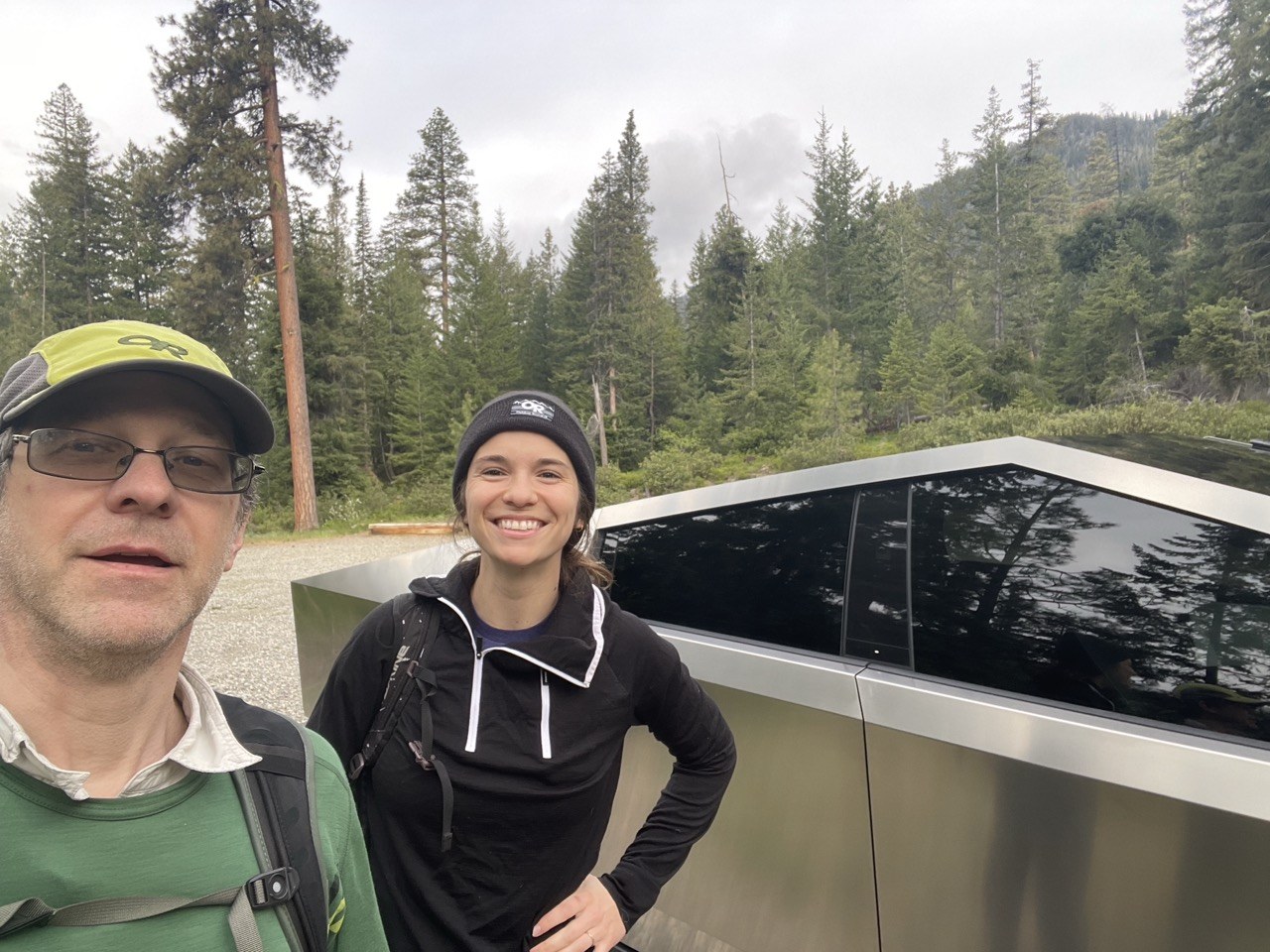
The forecast for the Puget Sound area was a dreary day, so we used a hack I learned here to go east of the cascades.
We traveled from Burlington to the trailhead in 2 1/2 hours. We left Burlington at 5 AM, and we were hiking by 7:30 AM.
As we were driving over the pass, temperature got as low as 32°. However, the trailhead was about 42°. As we worked our way up the slope we quickly stripped out of our wool sweaters.
The trail starts out fairly steep and rough.
After you pass the first turn off at roughly 2 miles, the trail levels out, but now you are crossing snow, muddy sections, and streams, using downed logs.
There are a fair number of snowfields to cross, and we did post hole a bit on the way back. Going earlier in the day when the snow is firmer is helpful
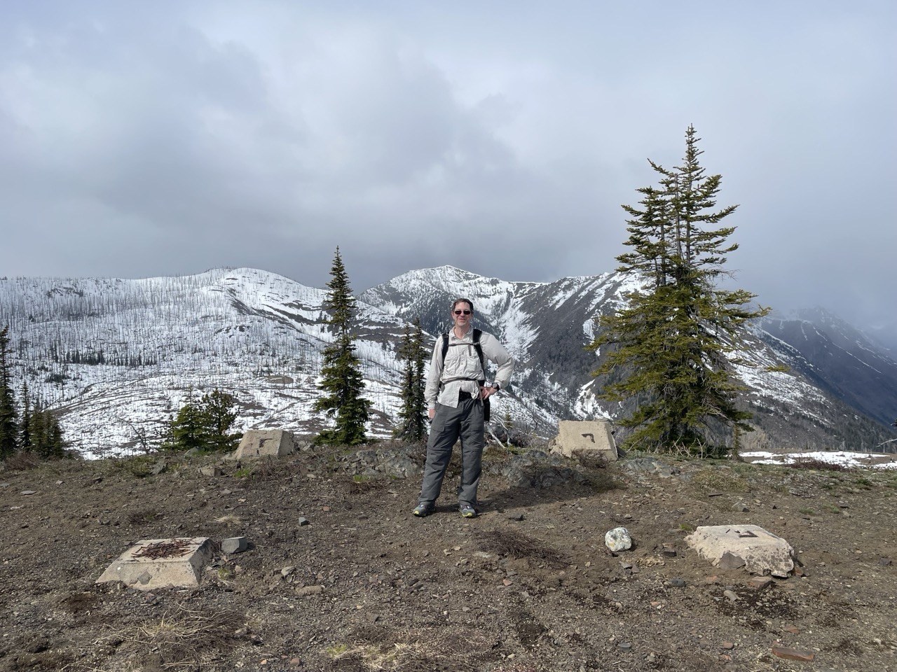
The trail to the summit is quite steep and rough. It started snowing as we approached the summit and at the top the wind was howling, and there was some light dry snow.
Gaia GPS shows a distance of 4.35 miles from the trailhead to the summit and an ascent of about 3000 feet. It took us 2 1/2 hours to ascend, and two hours and 20 minutes to descend with a roughly 20 minute break.
On the way back, we counted about 11 people, and the parking lot was fairly full on our return.
This is my new process for compressing images to upload to WTA using IOS. They must be 5MB or smaller.
Put the photos you want to compress in a folder in files, not in the Photos app.
Long press a photo.
Select quick actions… Convert an image.
Pick JPEG, then pick large.
All the online guides I found wanted me to set up a shortcut action, I failed at that.


Comments