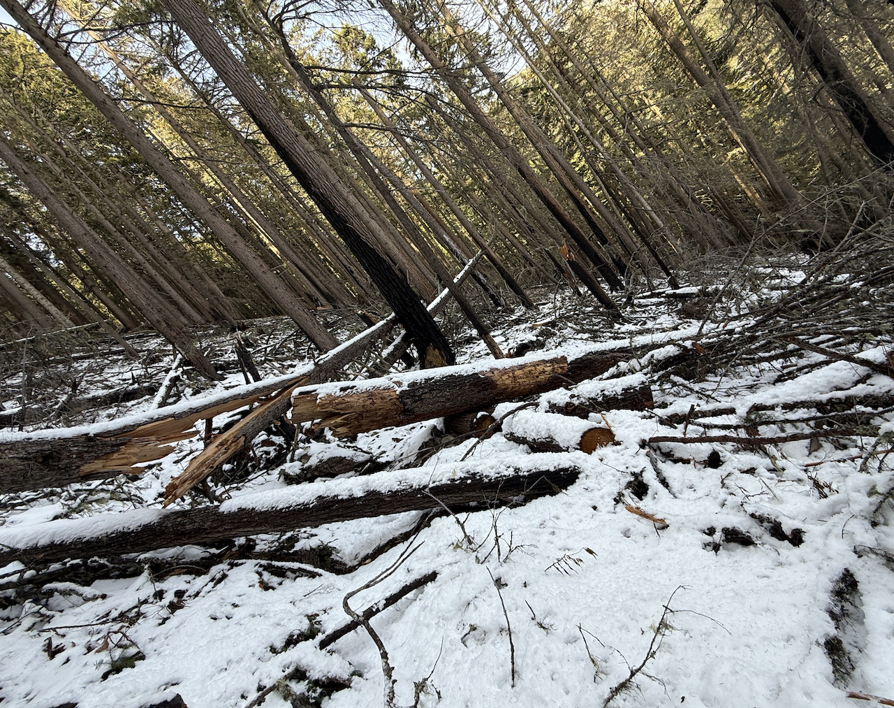
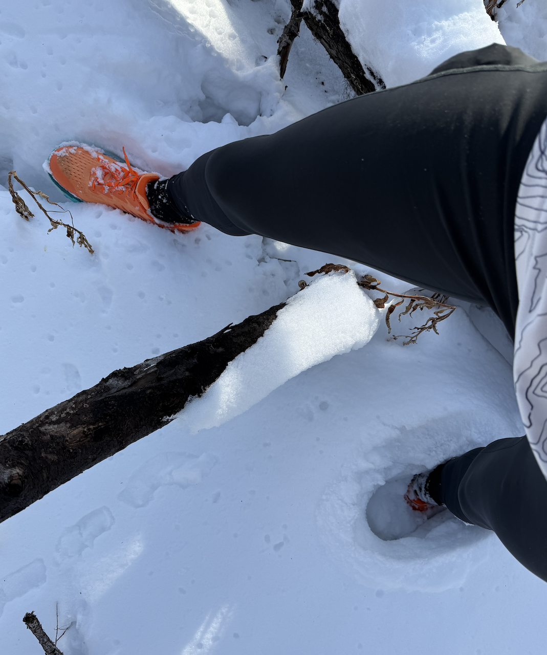
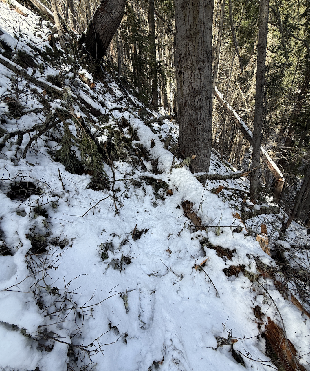
I completed a loop start/finish at Camp Sheppard. Took the Palisades Trail up to the lookouts. Was pleasantly surprised at only encountering a dusting of snow up to the 3rd viewpoint (looking down on Ranger Creek runway/camp). I encountered significant snow levels beginning about a half mile east near Ranger Peak. Snow and downed trees were most intense about a mile prior to and after the Palisades/Ranger Creek trail merge. Heading down the Ranger Creek side was the worst and more unsafe because of the steepness and wet snow. The smaller branches on trail were tolerable but the huge downed trees stacked on steep inclines just above the trail were scary. It was obvious it wouldn't take much for these trees to suddenly slide and crush/log flume me down the forest embankment. Very unsafe. It's going to require significant cleanup. The last 3-miles down to Hwy410/White River trail were in good shape.
Trip Report
Little Ranger Peak via Ranger Creek — Tuesday, Dec. 10, 2024
 Mount Rainier Area > Chinook Pass - Hwy 410

Comments
hearingjd on Little Ranger Peak via Ranger Creek
Thanks B-dog! Great report!
So guessing the downed trees and trail damage are near numbers 8 and 9 on your map? How were the lower sections of Ranger Creek trail?
Posted by:
hearingjd on Dec 15, 2024 12:56 PM
B-dog the trail runner on Little Ranger Peak via Ranger Creek
Yes miles 7-9 on my map are in bad shape. Lower sections of both Ranger creek and Palisades were in great shape - on Tuesday. I believe it has snowed there over this weekend.
Posted by:
B-dog the trail runner on Dec 15, 2024 08:59 PM