TLDR
North to South 2 day, 1 night backpacking trip from Third Beach to Oil City.
Main notes:
- Scotts bluff ladders / ropes are completely out - it is possible to go around that headland in low tide - we did it in a 2' tide.
- Goodman Creek and Mosquito easily crossable at 1' tide after several days of no rain.
- Hoh Head overland trail has many (~10) blowdowns which will slow you down - our pace was about 50% over these sections (1.5 mph).
- Decending Hoh-Head (Southbound) was the sketchiest ladder to traverse - highly recommend gloves and consider risk tolerance in rainy weather.
- Diamond Rock has many slick rocks - definitely doable, but rainy weather made it feel less than safe. Slow going (1mph) and farther than expected (~1 mile).
Detail
Dropped the car at Oil city and took the Olympic Hiking Co Shuttle to Third Beach to start the hike on Saturday April 5 at 10:15am. Parking Lot at Third Beach was full, Oil City had 2 other cars with space for another 2 when we arrived.
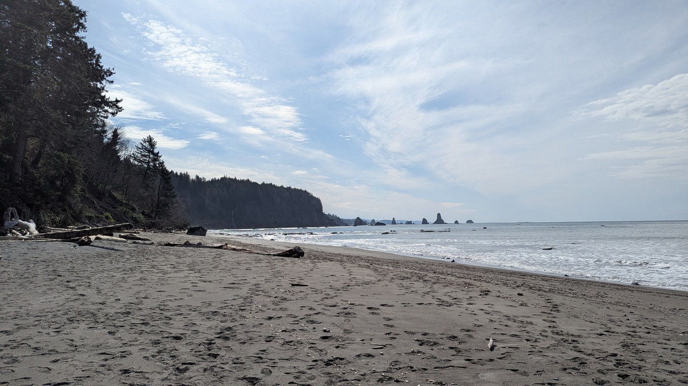
First day had beautiful weather after several days of no rain. Easy travel until Scotts Bluff, which has a washed out ladder. We arrived at low tide so took the low route around the headland instead, which felt safe and easy at 2’ tide (with tide going out). Continued past Toleak (where there are several very nice beach campsites) to Mosquito Creek. The Goodman Creek crossing was about crotch height and not fast moving. Mosquito creek crossing was similarly easy. We were a little confused about the Mosquito Creek camping - but found it after going up the Hoh-Head highland route for about a quarter mile. Several nice campsites and a convenient, but red tinted water source - tasted fine after filtering. Saw several day hikers between Third Beach and Toleak, but nobody after Toleak.
Rained overnight and and we slept in a bit to hit the tides correctly at Jefferson Cove / Diamond Rock. Left camp at 11am and made slow time across Hoh-Head (which is about 3.5 miles across after the Mosquito Creek Campsite). Several large blowdowns, but nothing which required extensive bushwhacking. The descent from Hoh-Head had my heart racing. There are good ladders, but there are some sections which are totally vertical and would be impassable if the ladder systems were fully washed out with high consequences for falling. We were very happy to have brought work-gloves for traction, but even with those we felt a little unsafe in the rain. The Diamond Rock traverse is also a little sketchy in the rain, most rocks are covered with barnacles, which gives nice traction, but we still slipped a few times on algae covered rocks. We were happy to have trekking poles for those sections and made very slow time, I agree with another trail report which estimated that you’ll make about 1mph over the rocks, we did about that - do note that there is about 1 mile of rocky terrain, so plan for about an hour going around Diamond Rock. Saw nobody else on trail this day.
Overall a fun, adventurous backpacking trip in a beautiful area. Highly recommend, but come prepared!


Comments
Mickey&me on South Coast Wilderness Trail - Toleak Point
Hi, I'm wondering what time of day you hit Scott's Bluff. Thanks!
Posted by:
Mickey&me on Apr 08, 2025 02:54 PM
Mickey&me on South Coast Wilderness Trail - Toleak Point
Hi, very helpful TR; thank you! I'm wondering what time of day you hit Scott's Bluff. Thanks!
Posted by:
Mickey&me on Apr 08, 2025 02:54 PM
MaxWolffe on South Coast Wilderness Trail - Toleak Point
Main thing that matters is the tide.
For us, we hit Scotts bluff around noon, which was a ~2ft tide (with the tide going out). The tides for La Push are representative of the route I think - you can check those at the NOAA site - e.g. here was the tide chart for the trip we did April 5, 2025 - https://tidesandcurrents.noaa.gov/noaatidepredictions.html?id=9442396&units=standard&bdate=20250405&edate=20250406&timezone=LST/LDT&clock=12hour&datum=MLLW&interval=h&action=dailychart
Posted by:
MaxWolffe on Apr 08, 2025 03:10 PM