(Partial report, I turned around about 8 miles in)
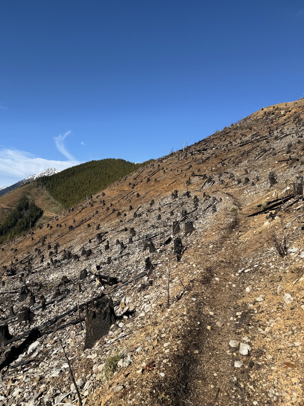
I parked at the closed Rayonier gate and bicycled up the road (well, pushed a bike up some of the steeper sections). I skipped the lower trailhead since I read several reports of it being very overgrown and difficult to follow and instead started from the upper trailhead where it intersects the logging road before the radio tower (N47.69131° W122.96697°). The trail crossing the burned / logged area was in surprisingly good condition and hasn't eroded much. It looks like only the logging slash burned, and the surrounding woods didn't catch. The trail through the woods is in very decent condition with only a few easy to bypass blowdowns. I encountered snow around 3200' and slogged up to the saddle around 4000' before I decided I was moving too slowly (and the post holing was miserable) and turned around. Total one way distance (including road) I covered was 8 miles and about 3600ft gain. The trail past this point was under so much snow that I couldn't tell the condition but if it's anything like the first part it was in good condition for the access issue. Riding my bike back down the forest road was a blast (if a bit scary in some places). I think it's worth lugging a bike up just for how much time you save on the way down.


Comments