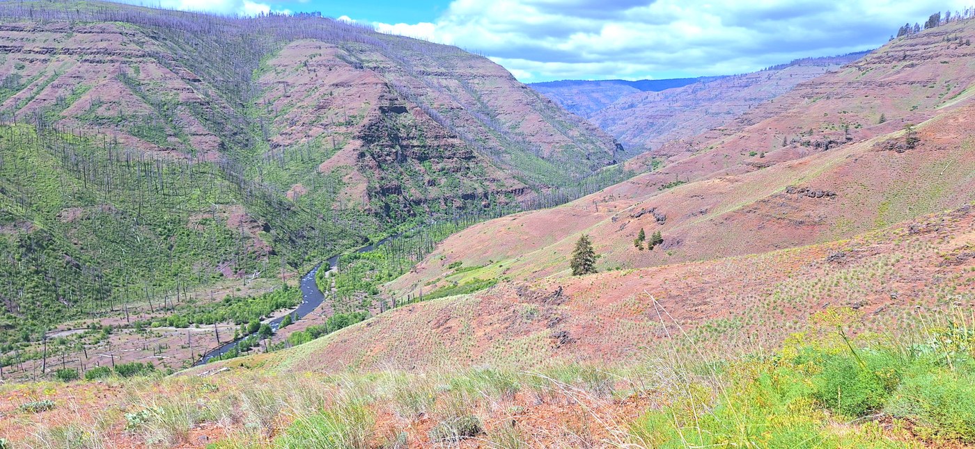
Three days on trail. Hiked from the Troy trailhead, intended to go up Smooth Ridge and connect via Packer Trail to Crooked Creek, but took too much time up top and it became an out-and-back.
Wenaha trail is deceptively difficult. Despite having no elevation gain, there is a lot of up-and-down as it handles the steep terrain surrounding the river. There are long stretches of mud, a few small blowdowns, and one larger blowdown with all it's branches still. That said, it's one of the most beautiful riverside trails I've hiked, with an innumerable number of different wildflowers, cool geology, and at one point past Crooked, an eagle's nest practically right next to the trail. If you get there at the right time of year, you'll know because a baldy will start circling and yelling at you. Keep an eye for a big doug fir just down from the trail. Found only four ticks on me the entire time, with only two latched on. Very few flying biters.
Quick note about the Hoodoo Trail marked on my map: if you are here looking for it, you will not find the lower junction, nor any other indicator of where if might have once been, nor any marker of a good spot to cross the river. Which you couldn't do this time of year anyways. I saw the upper switchbacks and thought "who the hell put a trail there? Why?" It looks like a mean bastard of a trail for people who enjoy type 2 fun but instead find type 3. Me, probably.
Smooth Ridge: it was impossible to find the junction for this trail, as I suspected it would be. I was able to see the trail on the slopes as it switched up, and hiked off-trail until I found the lowest leg. I then hiked back down to the Wenaha from there and spent time constructing a few cairns I hope people will find helpful. The slopes were easy to navigate, though the trail was a bit faint at times. If you come on a sunny day you Will be blasted, it's very exposed. Passed a rattlesnake who seemed to have made a home in the single retaining wall on this trail, as it was in the same spot on my way back down.
Once you attain the ridge, the trail will seem like it keeps going straight into a lush area with few standing trees and many downed ones. This is your cue to switchback. Find a nice log to have a water break on, then turn northwest and keep the edge of the shelf. The trail will be gone for a few hundred feet, then a game trail will resolve and this becomes your path. Can't give more direction past this point because I instead kept going east-ish following game trails, eventually decided "fuck it" and attained the high point of Moore Flat (no view, too brushy), and having quite a nice time bushwhacking. However, that put me far behind schedule, so I went back just to find the real trail and headed back down. Saw a herd of about 20 wapiti at one point, and flushed a large black bear at another.
Started late on my first day and camped in a meadow on the Wenaha near the Smooth Ridge junction. Very dewy morning, ground almost too soft for stakes. Second camp was at the Crooked Creek junction, very easy site if you don't mind using big rock/little rock instead of stakes.
Overall: gorgeous area I would love to spend more time in. Sadly it's a full day's drive away from me, so it will remain a special treat. Only saw a couple other parties on trail (a lovely local couple, and some other out-of-towners clearly fresh from an outfitter with overstuffed packs). The trails could use some TLC, but probably won't get any soon. Bring your navigation skills if you plan to leave the Wenaha at any point.


Comments