Took advantage of the long weekend’s pleasant forecast to backpack up the Dosewallips. I stayed 2 nights at Dose Forks, one of my favorite places in the Olympics, and my 3rd time there or passing through. It was quite busy/full Saturday night. I counted 19 people. Not sure it can accommodate any more than that. All obvious sites were taken.
Dosewallips river trail: It seems there might now be a stable rocky low trail to bypass the slide area about 1.5 miles in. In other words, a better low route than what was there a couple years ago. Yet, I still took the high route bypass. It’s a nice trail some folks worked hard on making, and I guess I’m a sucker for making my life harder.
Everything is very lush right now. And bug-free. And blooming.
At the old Dosewallips campground they have installed a bike rack for locking up bikes. This is a great addition. There were no bikes there on Saturday early am, but on Monday hiking out, I counted 9 bikes. So it’s getting good use!
My previous 2 times going up this way involved riding or often pushing a bike uphill yet I did not regret not bringing one this time (with a full backpack). I had a couple unpleasant flashbacks related to how much extra work it was with a bike on the way up. On the way down, it’s obviously terrific to have, but I didn’t lament that too much. It’s kind of 60/40 thing. Adjust the ratio to your liking.
Sunday I day hiked up the main fork. This section was new to me and I wanted to scope it out for a potential backpack later in the season to Dose Meadows. I had a somewhat ambitious goal to day hike to Deception Camp and back to Dose Forks, which would have been about 13 miles RT and 1800 feet gain, but my feet weren’t feeling up to that much mileage. I turned around at Slide Creek (3 miles upriver from Dose Forks).
Things to note on this stretch: There is a large maybe 3-foot diameter log across the trail before reaching the intersection with the Constance Pass trail. See photo. That bad boy forces you to go up and around on the right side, unless you have some gymnastics training and can vault it. Other logs are down in this section, but none present any problem.
There was an “X” made with sticks near a clump of poisonous mushrooms on the trail. I surmised it was a warning and not just random.
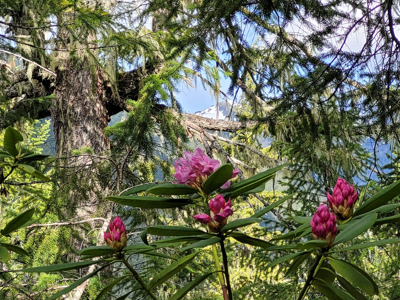
Rhododendrons were just beginning to bloom. There is a stretch that is a literal (and I hate that term, but it’s pretty true here) rhody forest. Nothing but rhododendrons and salal. I think in about 2 weeks both the main fork and the west fork upstream of Dose Forks will be putting on quite a show!
I found out why Slide Creek is so named. Shortly before Slide Creek is a slide area (see photo). The footing across looks stable enough, and it is, but I strongly suggest you do not look down while going across this short section. My guess is a fall here would not be survivable. My camera didn’t capture the length and steepness of the slide. Not to scare anyone away! It’s totally fine! LOL.
There appeared to be just one lonely sort-of camp spot next to Slide Creek. I didn’t see any others.
Something I noticed on this hike I hadn’t noticed or thought about previously - but which seems obvious now. Game trails coming down from higher up near major streams.
I checked out the 1972 bridge on my way out which I guess was a part of the original Elkhorn campground? Might have to go search for pictures showing what this area looked like back when cars roamed freely here, before nature had her way!


Comments