Route: I did a 25-mile clockwise lollipop loop from the Pete Lake trailhead. First to Pete Lake, to Lemah Meadows, joined up with the PCT and headed north up to Escondido Ridge where I camped. Continued north on the PCT in the morning until I veered off on the Waptus Burn trail which connects with the Waptus Pass Trail. From there, connected to the Polallie Ridge Trail before finally catching the Tired Creek trail for a 2,700 foot descent over 3 miles before catching the Pete Lake trail 1.25 miles from the trailhead.
Road: Paved most of the way. Last mile or so fairly potholed, but easy to negotiate with most vehicles.
Water: Plenty. Water almost the whole way until you hit Tired Creek (and little on this portion of Polallie Ridge). I didn't get my feet wet over any creek crossing. However, on the Waptus Pass trail shortly before it connects with the Polallie Ridge trail, there were a couple of flooded meadows. There was no way to avoid getting your feet soaked on one of them. The last 4-5 miles is short on water sources. It was no trouble for me on 1 liter, but it might be wise to pack some extra on a hot day.
Snow: Many snowfields above 4,500-5,000 feet. No trouble with poles. Had spikes and never broke them out.
Blowdowns: Intermittent (50ish over 25 miles?). I am a 48-year-old moderately agile person and didn't have any trouble. A couple required a bit of a workaround.
People: Except for the Pete Lake trail, I only saw one hiker. He was headed southbound from Canada on the PCT and was hungry for intel. Might be helpful to post snow/other conditions info here or even better on FarOut.
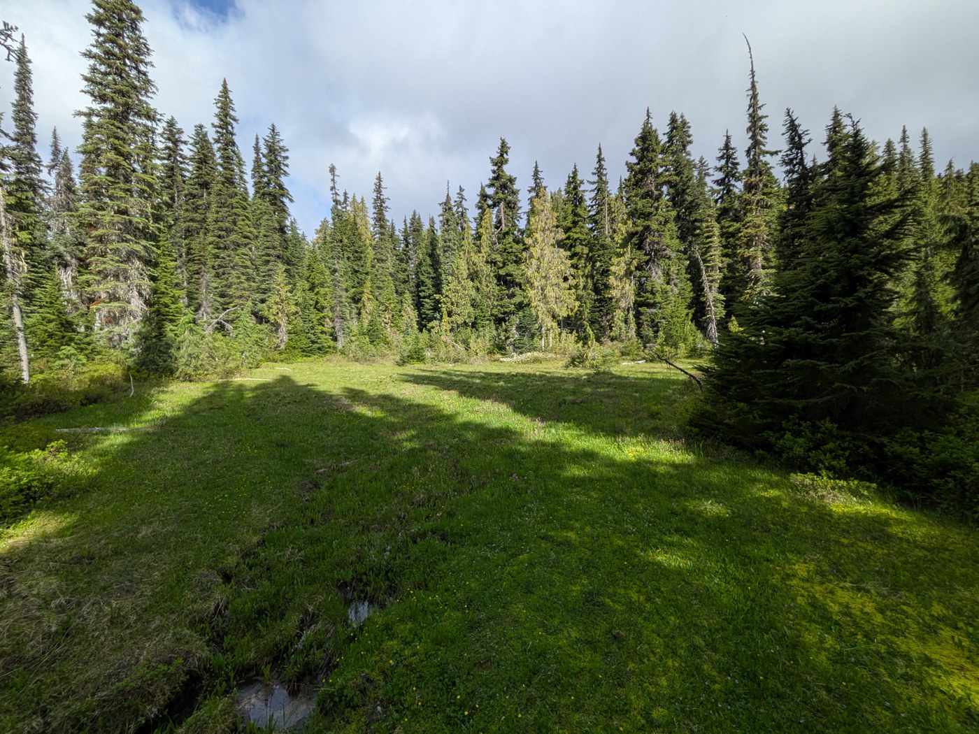
Views: Great up on Escondido, even though it was pretty misty for me. That whole section of the PCT is beautiful subalpine territory. There are also peek-a-boo views from near Lemah Meadows. There are also some very nice meadows at the top of Tired Creek and the Waptus Pass area.
Vegetation. I would say about 10-15% of the trail had overhanging vegetation. Mostly below the knees. The lowest 1,200 feet of Tired Creek was most overgrown, especially near the lowest 200 feet. The trail was invisible at times.
Misc: There are other ways to make this loop. By heading up Polallie Ridge and down Tired creek, I think I added a lot of "fun" with an extra 1,000' ascent over 1 mile and the added descent. One could take the Waptus Pass trail down to Pete Lake and then out instead and probably shave some elevation gain.
Total ascent was about 5,000 feet by my watch (trip planning had me thinking it would be closer to 5,500+). There are long flatish sections in the beginning, middle and end so the ascents and descents were more intense and prolonged.


Comments