Hiked cascadian couloir as an overnight. Hiked up/over Longs Pass Saturday afternoon, camped at Ingells Creek that night. Plenty of running water in Ingells creek, but that’s the only water we saw. The trail is otherwise completely dry and also snow-free.
Started hiking up the couloir 4:15am. There are several possible entry points into the couloir, we chose one my partner had used previously but it was overgrown and hard to navigate. The one we used on the descent (closer to the entrance to the valley) was in much better shape. Gained 2500 ft elevation before the sun really hit the couloir and started baking the route.
the couloir is generally easy to navigate, with cairns all over and trail that’s more obvious from above, but a lot of what we did for the ascent could generously be called Interpretive. We relied on a pre-downloaded gps map (garmin worked well) to keep us on route. We also wore helmets and dirt-gaiters, which helped a lot with the loose dirt, rocks, and debris getting knocked down.
Saw several car-to-car folks on the route, and people coming down the couloir from the West Ridge.
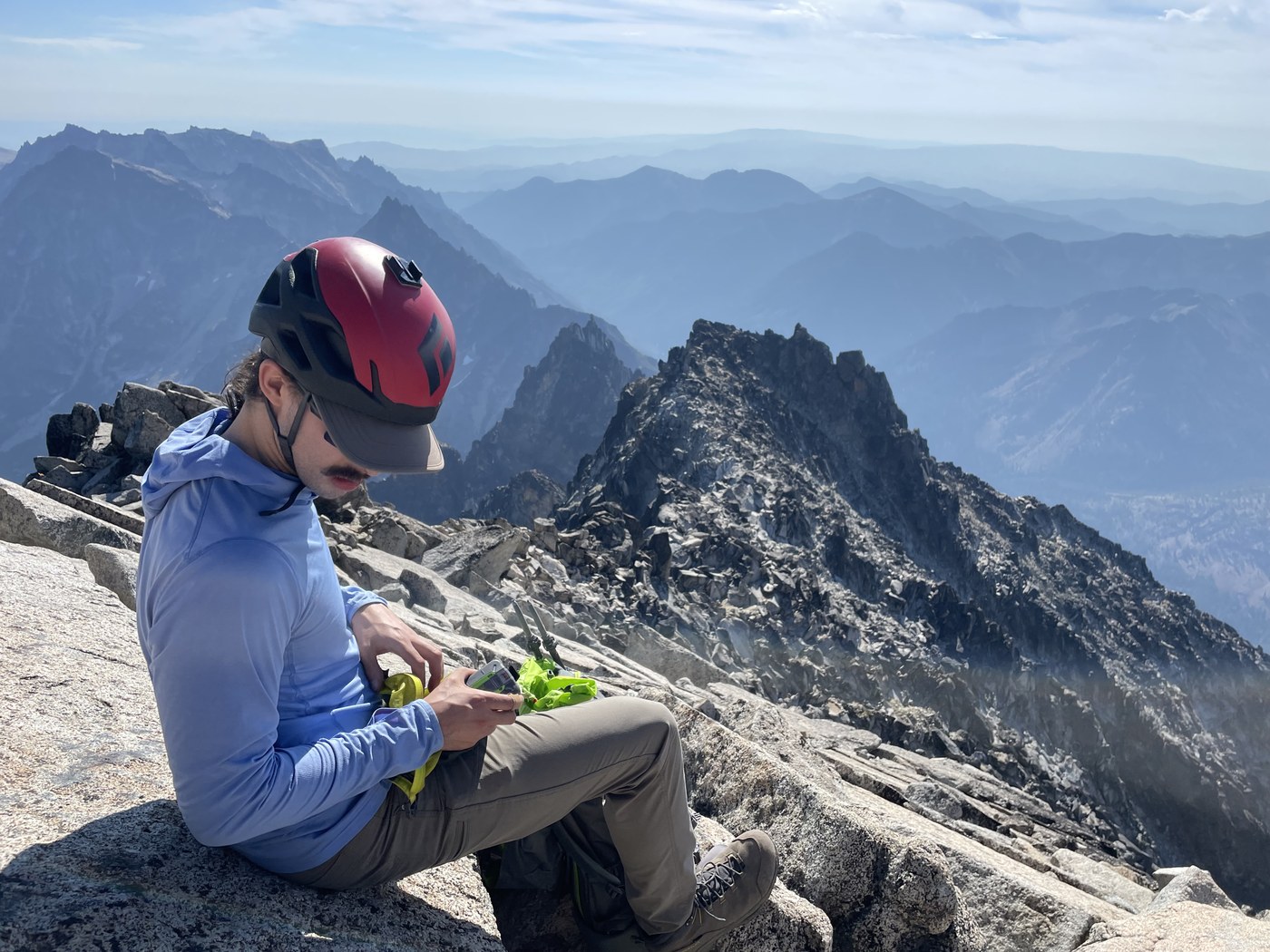
The last 400ft vertical gain, the summit push, is where the real fun is. If you like scrambling over 4th and a handful of 5th class moves (depending on your interpretation of the route. Again, gps was necessary to stay on track), then you’ll love the top of Stuart! If you’re not comfortable with those sort of moves, as my partner isn’t, you’ll move very slowly. There are also LOTS of bivy sites up here with well made wind walls and ledges.
Arrived at the summit 10am. Signed the register and slowly made our way down the couloir. My partner has less experience on choss and this level of loose dirt and so moved very tentatively. The sun baked the entire descent, so finding shade for breaks was necessary. Back to camp 3pm, broke camp, and hiked back up and over Longs Pass to the car. Afternoon shade on the Stuart-side of longs pass, thankfully. Back to the car 6:20pm.


Comments