
This trip report is for a specific route to Absolute Last Promontory below the summit of Green Mountain.
Start from the Bessemer Road trailhead (blue gate) and follow it up a mile or so to the bridge over Blowout Creek, on your left. Crossing the bridge, follow the CCC trail west as it leads to another bridge crossing over Wise Creek, and then up across the CCC Plateau- giving a hint of the expansive views to come. Continue on, pasisng Lower Brawling Creek and reaching a dirt path on your right at 3.8 miles in from the trailhead.
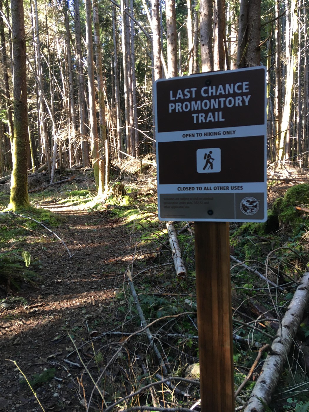
This is now signed as Last Chance Promontory trail, which peaks my interest into the status of the project being managed here over the past 5 years or so.
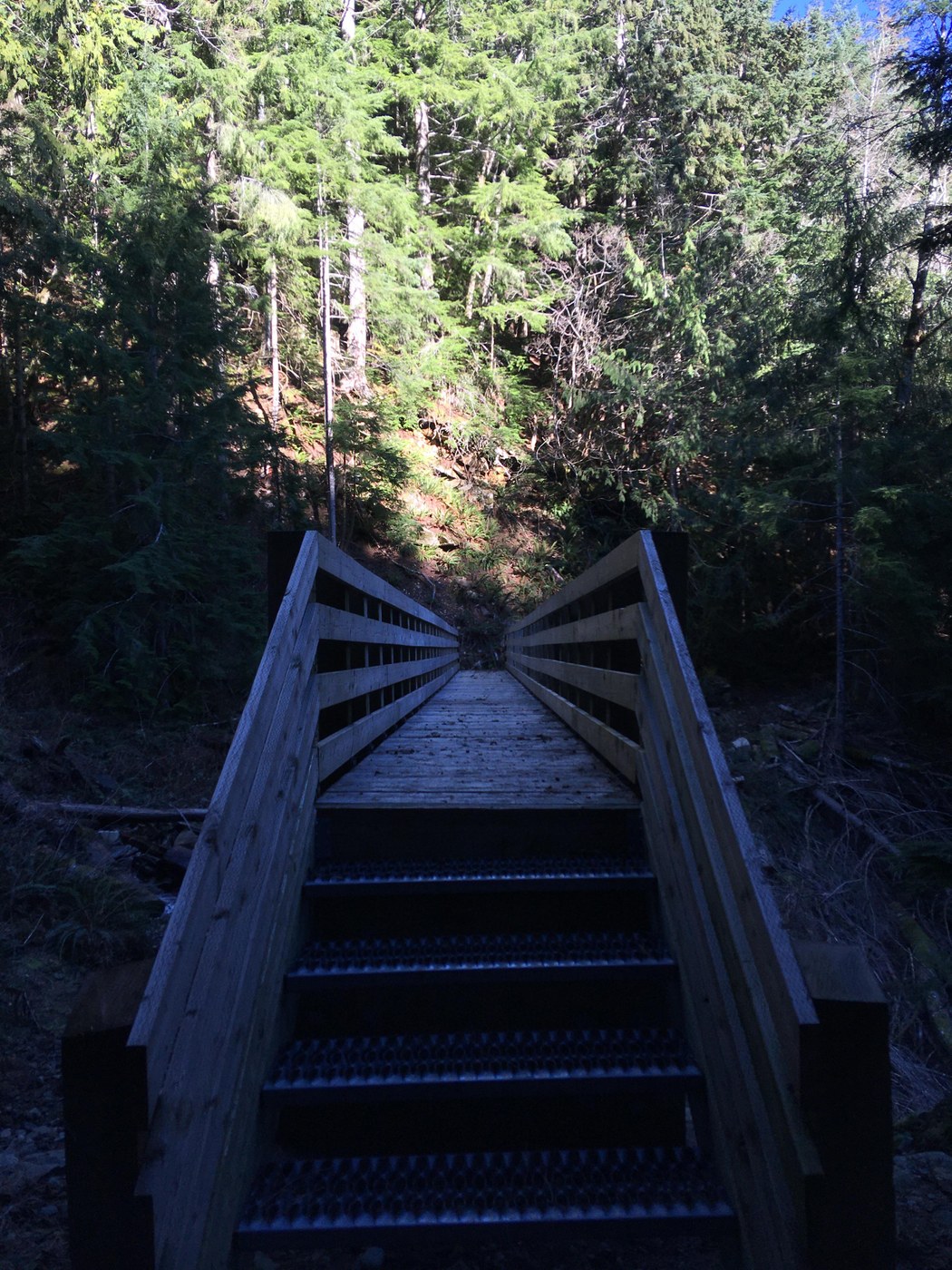
This is where the real climbing begins. From here you will traverse up both long and short switchbacks over about 800ft in a mile or so to a newer bridge over Upper Brawling Creek.
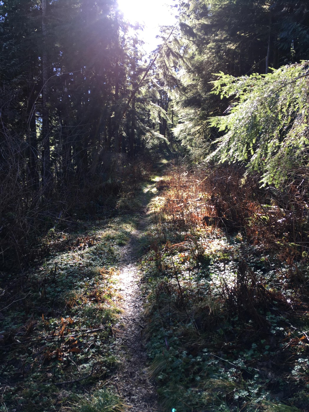
Past this, follow even steeper switchbacks for another 600ft over roughly a half mile to a decommissioned junction with West Green Mountain trail. Veer right (it almost appears as though there isn't an option to go left) and hike on more even ground to Far Enough Promontory, a slight opening in front of a massive rock face. Acknowledge the view here and hike another tenth of a mile to your final destination: Absolute Last Promontory (also known as Last Chance Promontory).
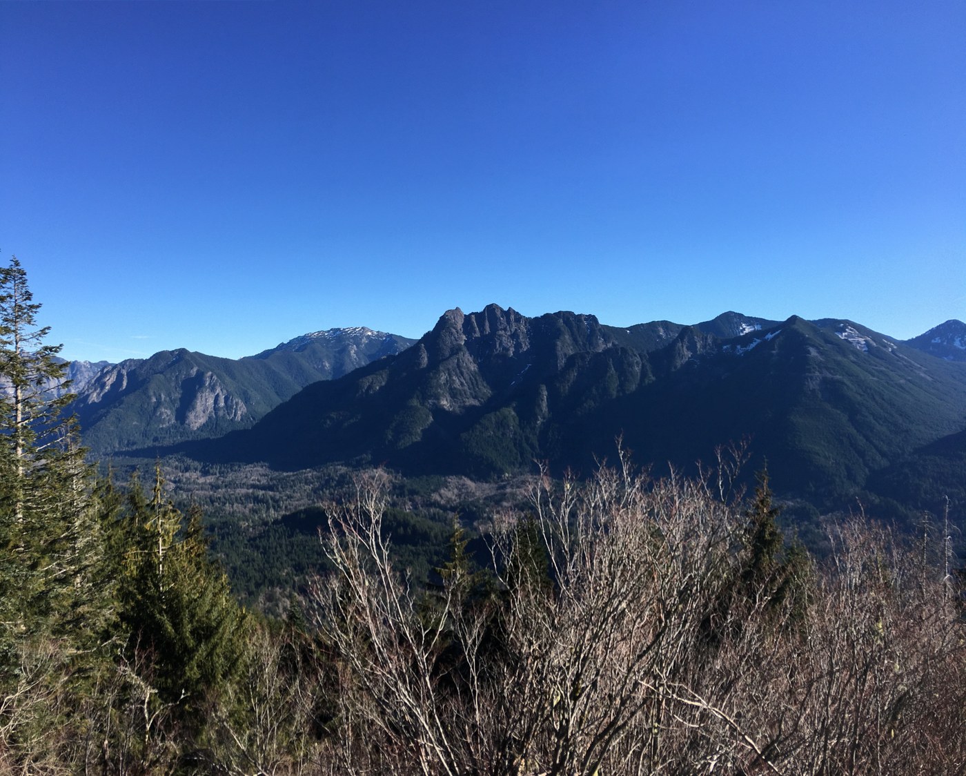
The views from this spot are on par with any you can find in the Middlefork valley. Russian Butte, Revolution Peak, Mount Defiance, Dirty Harry's Peak and Mailbox Peak dominate. To the south see the top of Tahoma peeking out and further down to Mount Washington and Change Peak. To the northeast, observe The Pulpit below the massive Preacher Mountain as they hug the Pratt River drainage. Beyond this, enjoy some slightly obstructed views of Garfield Mountain and it's cathedral-like beauty.
Today was completely snow free start to finish, although there were some ice patches in shaded portions of all three trails- as well as FR-56 (Middlefork Valley Road). I nearly spun off the road near the "one lane" barricade, not seeing the ice. Please be mindful, it can come up on you quickly!
I encountered 6 other hikers on this holiday, and 4 dogs. Most of which on the CCC.
RT 11.6m/2200ft
Comments
I hope the sign means more work coming on that trail! Would love to see the loop back to the Bessemer road that at one point seems to have been considered.
Posted by:
Pika Seeker on Jan 20, 2026 10:53 AM
Agreed! I had made an inquiry with MTSG- I learned that they had partnered with DNR on the project, so waiting to hear back from them on any potential news.
Posted by:
Dream Delay on Jan 20, 2026 11:13 AM
To follow up, I learned the trail improvements project for this area wrapped up in 2022 and that there are no further planned. Although they do plan to place more bridges on the CCC trail, which side I am not entirely certain, if I had to guess it would be the Blowout Creek side. These may be installed sometime later this year or early 2027.
Posted by:
Dream Delay on Feb 01, 2026 03:25 PM