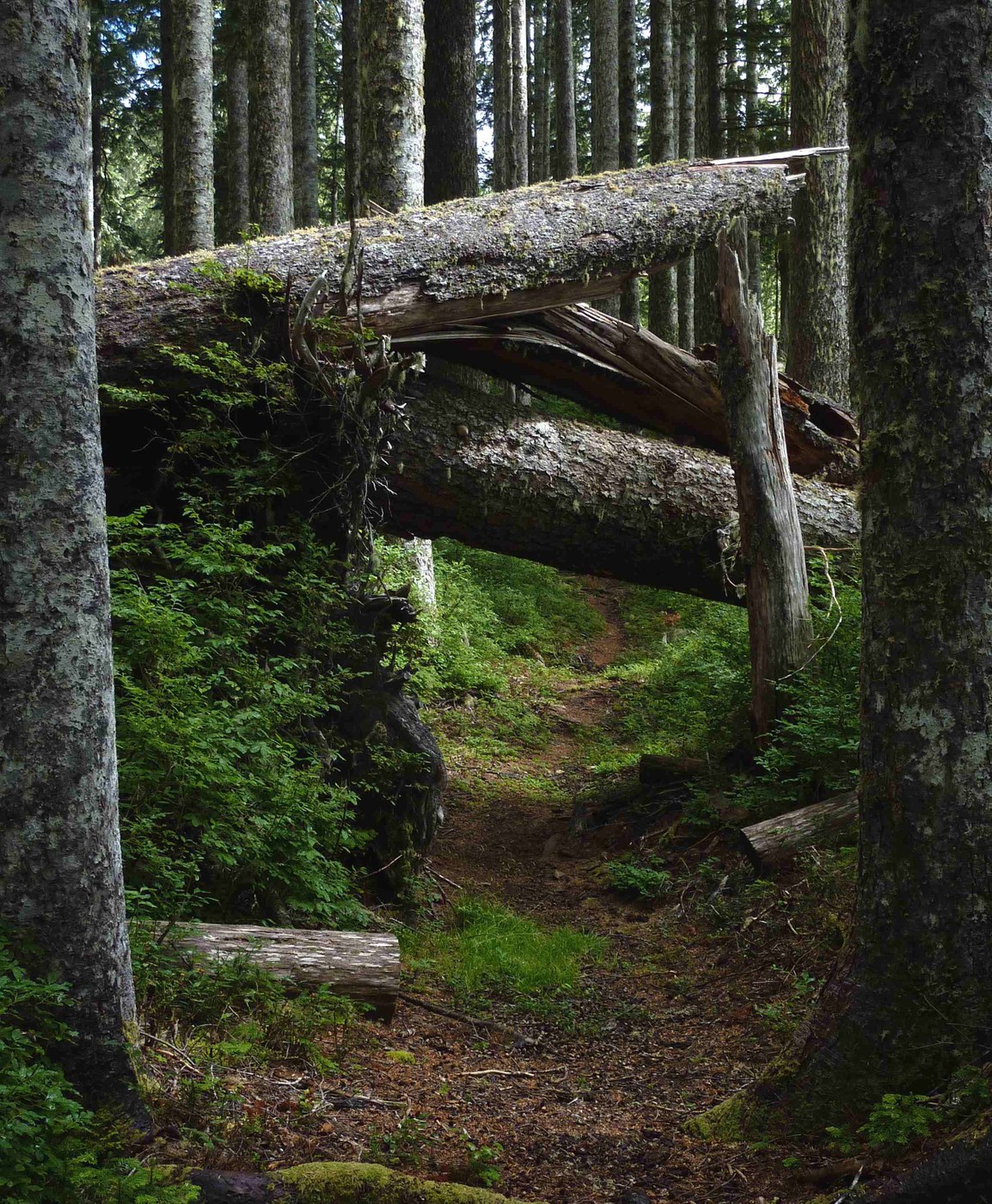
This is also known as the South Snider-Jackson trail, as it used to connect two Forest Service stations, Snider and Jackson.
The trail is designated "primitive" by the Park Service, but it isn't a boot trail or climbers' trail – it was built. It is well-graded, makes good choices about routes, and, while sometimes faint, is never hard to find. It's a very viable and useful connection between the high-traffic Hoh River trail and the low-traffic Bogachiel. The ford at Flapjack camp is easy. When I was there is wasn't deep enough to get your knees wet, though it has been very dry. The lower ford is also viable, though I haven't seen it in five years.
The trail leaves the Hoh River road just before the Park entrance station. Park in the parking lot to the right just short of the entrance and walk back 50 yards to the trailhead. The trail works to the base of the river terrace and then works up to the top, where it crosses the terrace to the base of the ridge separating the Hoh and the Bogachiel. Next, the trail traverses northeast to the edge of a ridge, at 1600', from where it climbs in well-engineered switchbacks up the spine to the top of the ridge, at about 2600'. From this point, the trail traverses around high points on the ridge, joining the top at the low spots, and traveling generally northeast and then almost north, slowly climbing to 3200'.
Near the midway point, the trail makes a sharp turn to the left, where it follows the ridge top, broader here, along a very pleasant route slightly south of west for a long mile, before jogging to just north of west for another mile. At that point, the trail loops around to the south of the ridge and begins to drop, before swinging around to the north side of the ridge for a serious descent into the Bogachiel valley. The trail returns to the ridge crest above Tumwata Creek and works its way down a couple of terraces and drops to the shore of the creek.
Cross the creek and either follow the flagged trail directly opposite the crossing (but I didn't see that one at first, so I don't know where it connects to) or work downstream on the west shore, below the bank for about 50 yards to the first big trail up the bank. At the top, turn right immediately and follow the faint trail along the top of the bank downstream for a few hundred yards to the signed junction with the trail along the south shore of the Bogachiel River, which connects the two fords. I took the upstream trail, turning right, following it nearly a mile through the woods and along old stream beds to a camp opposite the ford at Flapjack Camp on the other side of the river.
One of the attractions of this trail, aside from how it beautifully rambles along the top of the ridge in the middle segment, is its relative obscurity. I did see, however, eight others on this trip: seven of them a group that was finishing a loop that started on the Hoh and climbed up to High Divide and finished down the Bogachiel. The eighth was a National Park volunteer who waded over from Flapjack Camp in the evening to chat and check my permit.
Another attraction is the woods. There are many large trees on this trail: cedars and Douglas firs down low, especially on the Hoh side, lots – as many as I've seen – giant western hemlocks above and along the ridge top, and a goodly mixture of big silver firs among them. For all of those big trees, there were only five obstructions on the trail that were more than step-overs, and none of them bad at all.
On the whole, a very satisfying, even charming, route.


Comments