Trip Report
Cathedral Pass Loop, Tungsten & Chewuch River Trail — Sunday, Aug. 26, 2012
 North Cascades > Pasayten

North East Pasayten Loop #510 Chewuch River, #534 Tungsten, #533 Cathedral, #565 Remmel and back to #510 Chewuck to Thirtymile TH. Aug 26 – 31, 2012
We began our trip at the Thirtymile Trailhead out of Winthrop. A must see before the trailhead is the memorial to the 4 firefighters who gave their lives back in 2001 which is on the left just before the trailhead.
The end of August is always our annual trip to somewhere we have not explored before and we were not disappointed with this choice (as with all the others). The weather was quite agreeable with only some minor rain along the way and virtually no bugs the entire trip (another late August choice). The first day took us to the junction of 534 and 510. As you can imagine the burn out is quite visible for most of this section but the Chewuch Falls and the swimming pools above were exceptional. Open meadows along the way and lots of new growth made it a bit better than expected.
Day 2: We headed north along 534 and found the trail to be muddy in spots with some overgrowth but quite passable. We stopped and explored the old Tungsten Mine that was abandoned during the Great Depression in the early 1900’s. Nearby were the old bunkhouse and cabin that is still in pretty good shape thanks to many who have restored this site over the years. The outhouse was a 2 seater with brand new seats … amazing! We continued north and setup camp in a nice meadow area just beyond the intersection on trail 533 and below Wolframite Mountain.
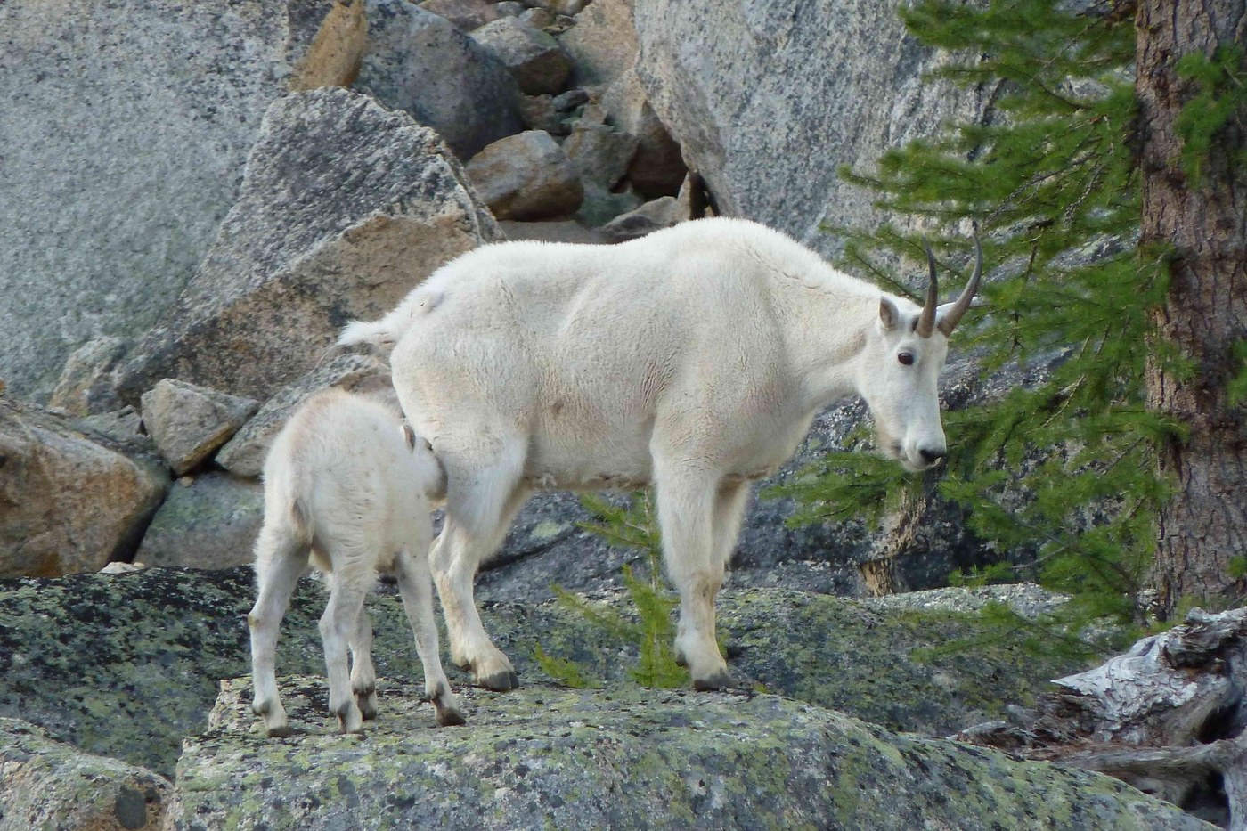
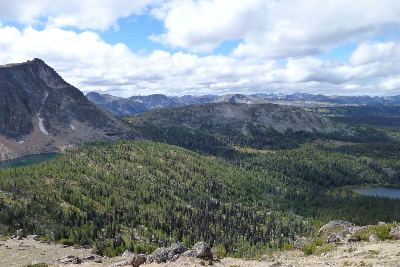
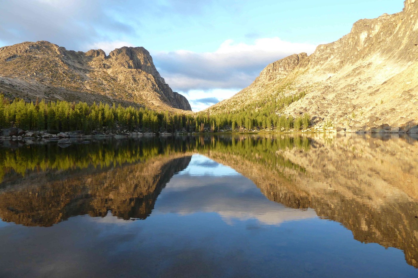
Day 3: We continued west on 533 over Apex Pass on the way to Upper Cathedral Lake. Along the way we were treated to spring like flowers that were plentiful as we got closer to Cathedral Pass. Incredible views were also a big treat as we made our way along a very good trail. We setup camp at the west end of Upper Cathedral Lake having learned that the east end was typically very windy. A mother and her baby Mountain Goat kept us company for the 2 days we stayed here and we also had Deer drop by.
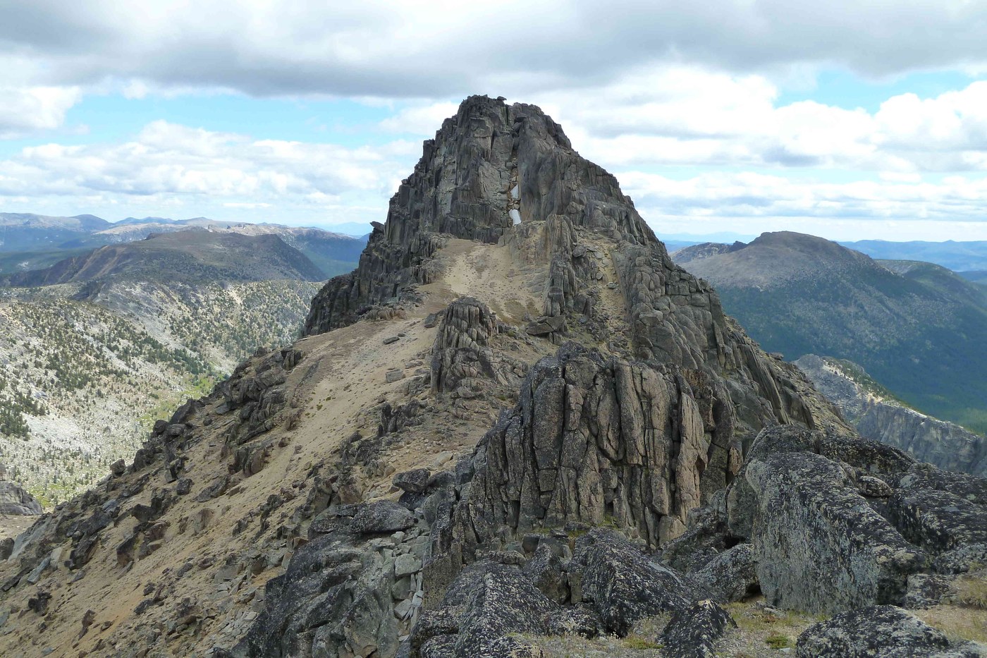
Day 4: We explored the area and went up to the top of the mountain range to the north alongside Cathedral Peak. At this point you are looking into Canada and can see where sections of demarcation actually show you where the border is located. We also saw a Canadian patrol helicopter flying right along the border line. Some of us spent more time climbing while others went back to the lake for some good fishing. I attempted to climb Cathedral Peak 8,601’ and had to stop about 100 feet short due to the loose rock and ice having made it past the first snow field (backside of summit at 8,515’).
Day 5: After waking up to frost and below freezing temperatures (lake is at 7,400’) we began our ascent along the west side of the loop. Trail signs are lacking and you have to be very careful when trying to figure out which trail to take in places. Green Trails does not show many of these which is to be expected. We ended up taking a left trail that took us partially around the backside of Amphitheater Mountain. As it turned out this gave us a nice walk thru open fields to pick up the trail with no real delay. We took the left portion of trail 565 (unmaintained) which takes you past the east side of Remmel Lake which you can’t see. As the forest cover is quite dense you have quite a long hike with no real view along this section. Once we merged with 510 along Remmel Creek it was much the same until we got to the Four Point Creek intersection close to where we setup camp for the night
Day 6: The trail along this route has many sections of heavy and loose rocks so be careful of your footing along the way. Quite the test to keep from twisting an ankle or falling along this portion but very passable as long as you look down at all times. Also there are sections with much undergrowth on the trail so good eye protection is a must. Our intention was to hike about 5 miles and end up with an easy hike out on the following morning but the further we got the less opportunity for a flat camp area next to water existed. We ended up going the distance of about 12 miles back to Thirtymile TH and drove to a camp site by the Chewuch River for our final night.


Comments