Trip Report
Pleasant Valley Loop, Pleasant Valley Lake, American Ridge & Kettle Creek — Sunday, Nov. 4, 2012
 Mount Rainier Area > Chinook Pass - Hwy 410

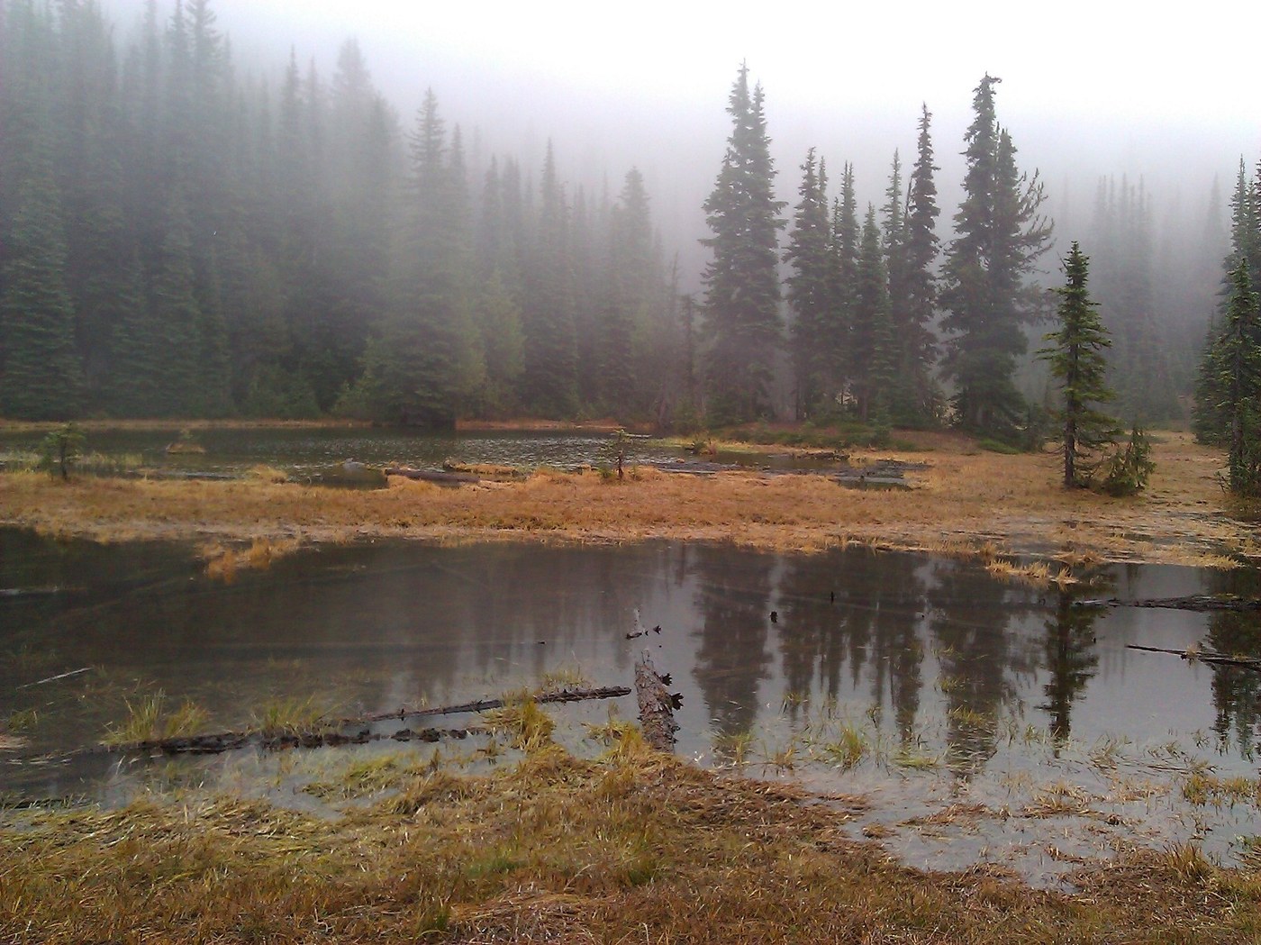
Freaky warm weather melted all the snow, otherwise I wouldn’t have attempted this 22 mile trail running loop. I started at the SW trailhead of 999 - right off of HWY 410 and followed it over rolling hills past the Kettle Creek TH (957) and on to the Pleasant Valley Lake trail. It is signed Pleasant Valley Lake 958"B" not ".2" as the WTA listing says. This trail climbs, steeply in some places until it levels off somewhat over the top or American Ridge. By the way I never saw any lakes, but I didn’t go looking for them. I was in a cloud/fog so didn’t have much view, however the yellow larch needles coating the trail gave me something to look at. The trail ends at the American ridge trail (958) but for some reason it is signed "Goat Creek" which is confusing. Goat Creek is the trail that goes the other way down the ridge to the bumping lake side, so maybe they are just missing an arrow. There is another sign several feet away that properly labels American Ridge. This trail section is faint and a little tricky to follow (as is much of American Ridge) but there are blazes on the trees to keep you from wandering too far. In the open areas I would have been lost if there was snow on the ground. Lots of elk sign and signs of elk hunters. The trail follows the top of the ridge in some places but unfortunately no view. It tops out at about 6300 then there was a second little summit around 6200. Then it drops and gets a little more technical until it comes out at the end of the Goose Prairie Trail. After another short climb, the trail drops steeply into the hole that is Kettle lake. I turned off American Ridge at this point to follow Kettle Creek. The trail drops down quickly with only a few short switchbacks. Then it crosses the creek twice and both times had to get my feet wet in the ankle deep water. I never got a good look at the site of the fire that closed this trail earlier in the year, but I could smell it at times. Apparently it was on the ridge on the west side of the creek but the trail is so deep in the trees and with the fog I never really got a good view that direction. I did see white rabbit which looked quite vulnerable in the brown surroundings. I thought this trail would be all downhill but there are a couple climbing sections that slowed me to a walk. It had some rolling hills after the drops at the start. There are also several blowdowns to crawl over, one that was quite large. There isn’t enough horse (or human) traffic there to work trails around them yet so I mostly climbed over. Otherwise the trail is easy to navigate and run, and I was back down to 999 quickly. I wasn’t expecting to see anyone today, but I did encounter one hunter on 957 as it is the last day of elk season.


Comments