Trip Report
Glacier Basin, Burroughs Mountain — Sunday, Jul. 28, 2013
 Mount Rainier Area > NE - Sunrise/White River
Type of Hike
Day hikeSnow
Snowfields to cross - could be difficult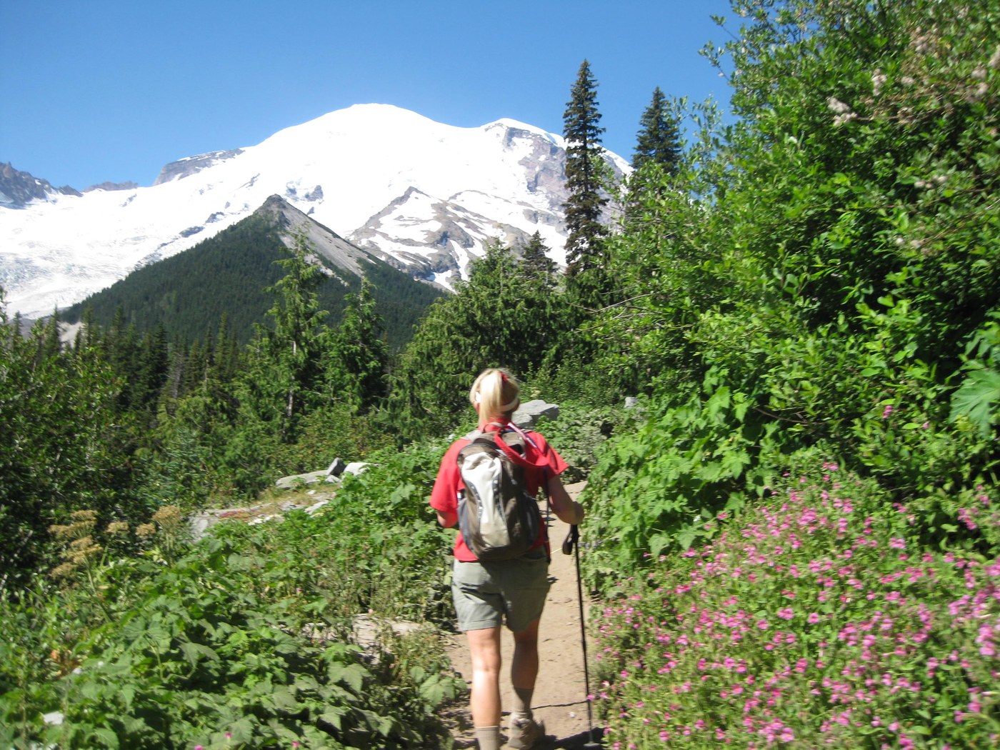
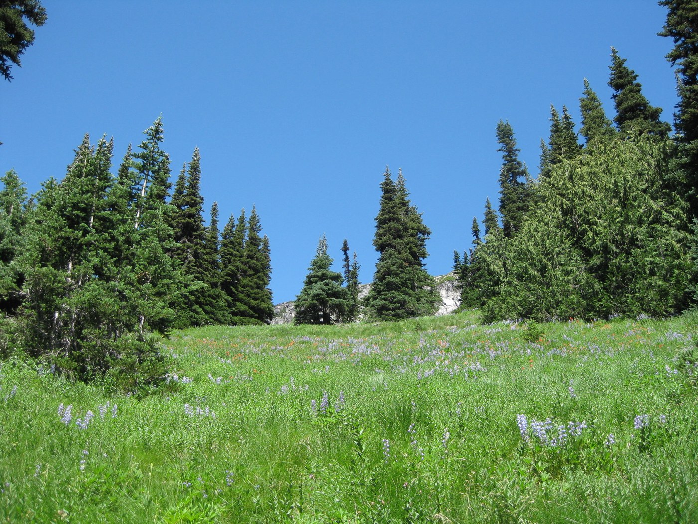
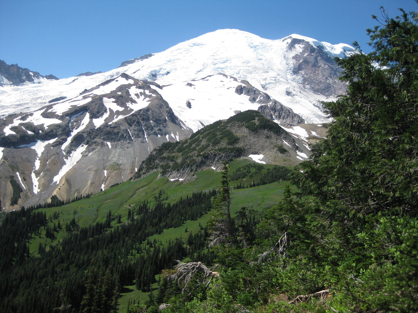
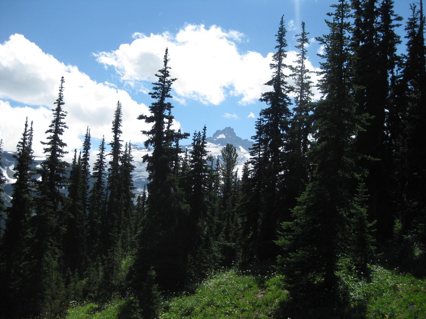
How much splendor and grandeur can one person stand? Our first time doing this loop blessed us with amazing wildflower meadows and spectacular mountain and valley views. Also, many free-flowing streams and one spectacular waterfall on the Wonderland trail.
At around 11 miles, going in a clockwise direction from White River campground, we figured about 3,000 ft elevation gain. Easy going until the turnoff to Burroughs. That's where the climbing and wildflowers begin.
Perfect hiking temp, but intense sun in the vast exposed areas. The only snow patch we encountered was on the Sunrise Rim trail, perhaps 20 feet long. Very slippery, narrow and unstable, with a precarious slope to boot. But we made it safely with the help of poles, without having to break out the Yak-Trax.
Another note about the Sunrise Rim trail. Parts of it are very, very narrow, with steep rocky slopes and no vegetation at all to break your fall if you happen to slip. We made it with no problem, but the acrophobia in one of us reared its ugly head and caused some anxiety.
Bugs weren't bad at all, just a few flies at the top of Burroughs 1 where we had lunch.
Trail is well sign-posted, with the exception of Shadow Lake. Shortly after the cutoff to Sunrise Camp the trail splits off to the left for the short walk to Shadow Lake. Pretty lake, worth the walk and a picture, then we rejoined the Wonderland trail back to White River.
We may do this loop again, but in a counter-clockwise direction to take better advantage of mountain views.
Comments