Trip Report
Loowit Falls, Truman Trail - Pumice Plains, Eruption Trail & Boundary West — Saturday, Jun. 21, 2014
 South Cascades > Mount St. Helens

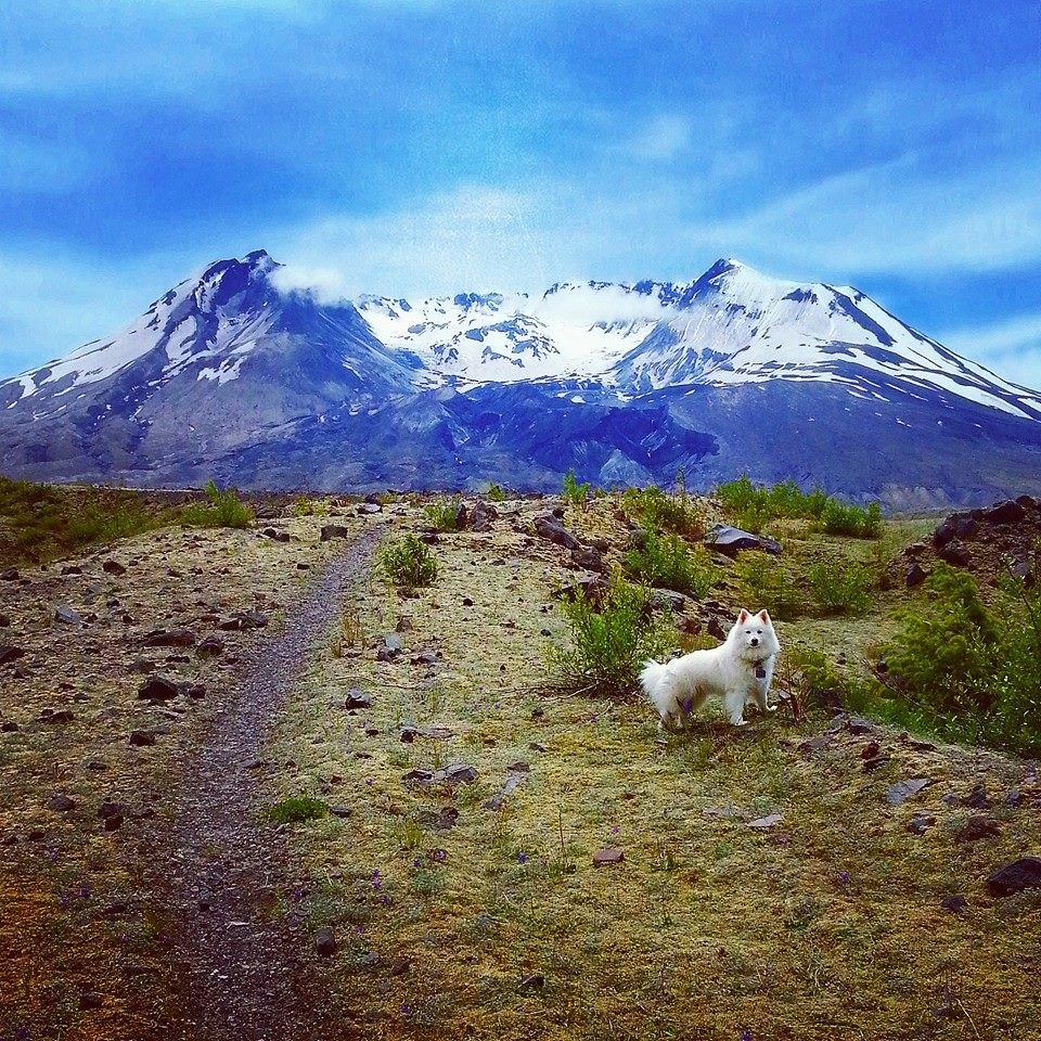
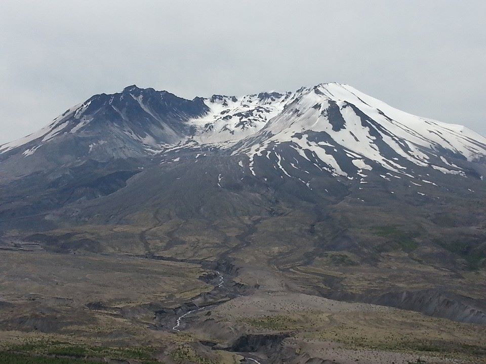
Began trip at the Johnson Ridge Observatory at noon (horrible time to start a long hike as you hit the hottest parts of the day) followed the paved trail known as Eruption Trail South Casacades. This short trail provided interesting displays describing the Mountain before, during and after the eruption. At ever turn the view of the mountain became more majestttic as you gain a better angle of the crater. The only draw back is the crowds of people and their cameras. Just keep walking on after the pavement ends and you will get better pics. No need to add to the masses here.
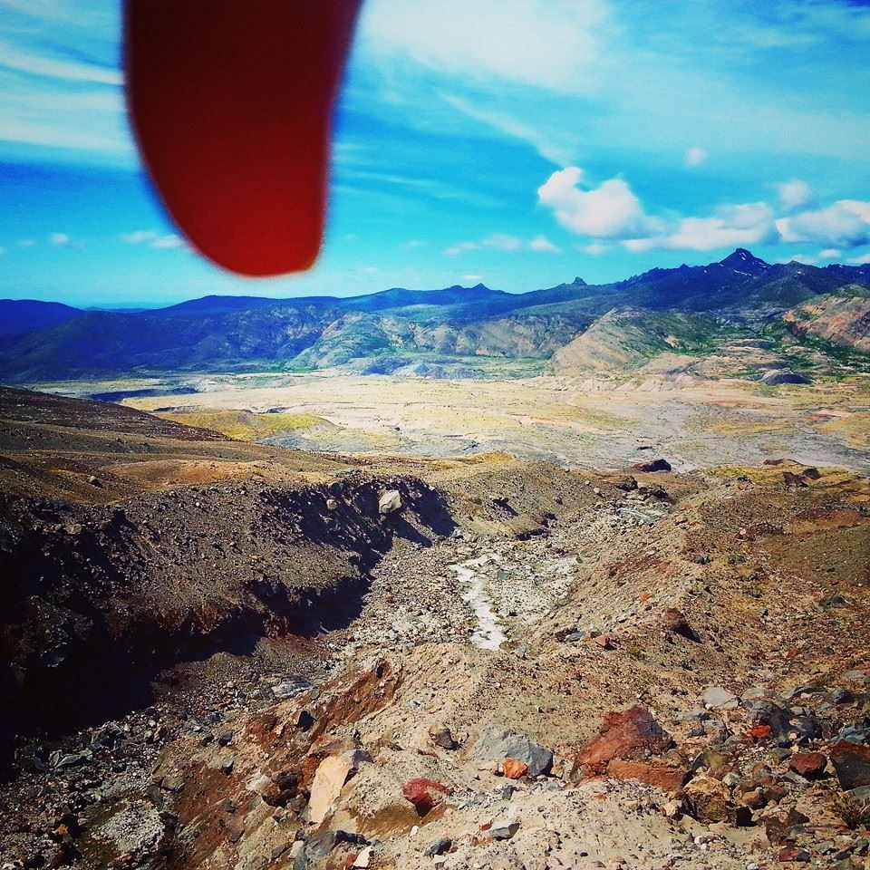
After the pavement ends you find yourself on Boundry Trail West. I only hiked about 2.5 miles before turning onto Truman Trail. The hike brings you up and down the ridge line with not only beautiful views of St. Helens but Margarete Mountian and the North side of the blast zone. Beautiful wild flowers were everywhere. The trail ends up hugging the side of a cliff with a long drop to the valley and a narrow path. However, the ground is solid and the wind was minimal so the passing wasn't nerve wrecking even for me and I'm moderatly scared of heights.
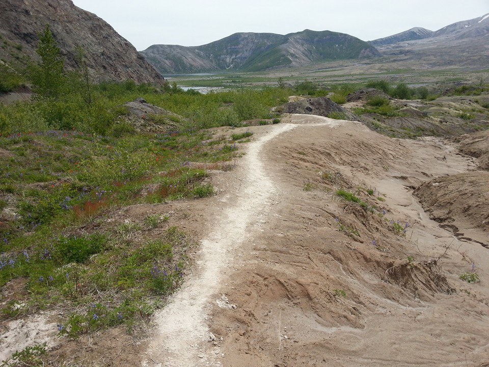
Once you reach the junction with Truman Trail you will start heading down through the only area with tree cover on the hike. After you reach the end of the trees you will begin crossing the valley. The trail changes from rocky to ashy and back again several times. You find your self close to spirt lake but not close enough to enjoy the water, just the view. As you continue through the valley the trail hits some spots that are wet as run off has taken over some cuts through high vegetation. The waater is shallow and most places have rocks placed as steppign stones to minimalize getting wet, but ensure you have a second pair of socks and shoes for later.
When you come to the next junction you will follow Loowit Trail towards toowit Falls trail. The trail begins its ascent up the canyons towards the crater. There will be several rock fields to cross where the trail basically disappears. Just look ahead for the trail post sticking up and walk towards it. Try to keep you impact minimal.
Finally you will see a quarter of a mile trail headed towrds the falls. Its all up mountain at this point, but short ascent is worht the view of the falls. Its unfortunte that you can not get closer to the falls or the stream as it cuts out the canyon, but its worth the extra 1/4 of a mile.
The total time to reach the falls for me was just under 3 hours and covered just over 7.5 miles. Heading back was quicker but mostly because I already had all the pics I wanted. The ascent back up the ridge is tough but luckily you can find som decent spots in the trees to rest.
Note I mention I had my dog, but she is a service animal. She did fine though and did not need boots to handle the terrain or long distance.


Comments