My husband and I hiked this trail as a leisurely 2-night backpacking trip, but it can most certainly be done as a day-hike or an overnighter. I will begin by describing the trail and then I’ll briefly describe locations of backcountry campsites that we came across.
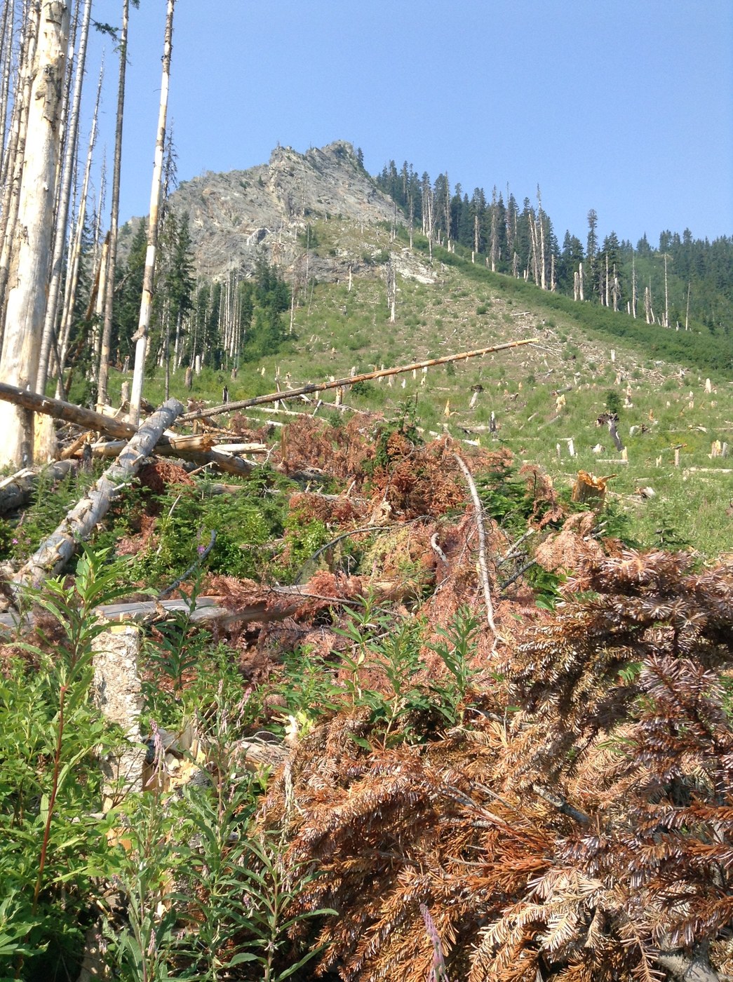
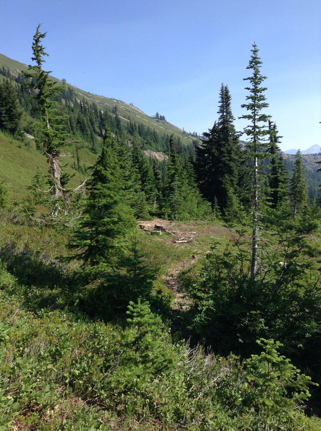
Little Giant Trail #1518: Most of this trail is in relatively good condition, but there are certainly parts of it that are not. Within a few feet of the trailhead the first challenge is to cross the Chiwawa river. We did this in mid-August and for me the river was only knee-high (I’m 5’8”). While it was cold and fast-moving, I did not find this fording to be a huge challenge (and I had never done such a thing before). I used trekking poles very carefully (if you’re not careful they can pull you downstream) but had absolutely no problems getting across the river. I don’t know how it is at other times of the year, but mid-August (and this year it’s a HOT mid-August) is perfectly fine. Once across the river the trail is easy and not very steep, but picks up a more challenging grade very soon. Parts of the trail are very steep and overgrown with brush, but it is not hard to follow the trail. You will have a handful of blowdowns to cross, but only one required us to remove our backpacks to get over it. Depending on your height and agility, some are easier to cross over, and others are easier to cross under. Once across Little Giant Creek (elev. ca. 4200 ft) you will enter a burn area with many downed logs. Here the real challenge begins. It can be easy to be discouraged and/or to lose the trail, as the logs are often obscuring the trail. Watch your step and take your time. Ultimately it is not impossible to pick one’s way around these logs. Once you’ve passed this particular challenge the rest is just steep climbing on a relatively good trail that is not especially dangerous. The burn area is between ca. 4300-4500 ft elevation, and shortly after that the trail crosses some exposed rock. Watch for cairns to guide you through that area. The remainder of the trail to Little Giant Pass is steep and in some cases overgrown, but easy to follow. The reward at the top is tremendous! We hiked down the trail to the Napeequa valley for about a quarter mile or so (elevation loss ca. 500 ft) just to get some different views. The start of the trail into the valley is very steep and overgrown in certain areas, but it didn’t strike me as particularly dangerous. That said, I relied on trekking poles and the trail was dry. I’m sure it would be much more dangerous if wet. I cannot comment on the condition of the trail further down into the Napeequa valley as we didn’t go that far. As for water sources: there are plenty on the lower part of the Little Giant Trail, and a plenty more up to about elev. 5900 ft. There is no water at the pass.
Backcountry campsites along this trail: There are a number of nice campsites immediately after crossing the Chiwawa river (in the trees along Maple Creek). There is one campsite at Little Giant Creek (elev. ca. 4200 ft), and another campsite just a few yards up the trail past Little Giant Creek. There may be opportunities to camp between 5000-5500 ft. elevation, but they are not as obvious. We found two developed campsites right off the trail a little further up: one at ca. 5640 ft. elevation and another site about 100-200 ft above it (also visible from trail). The one at ca. 5640 is right where the trail crosses a creek (easy water access), the one above it is further from a water source. There is no water at the pass, so while there may be room to set up a small tent on the south end of the pass, you’ll have to carry water up to it.


Comments