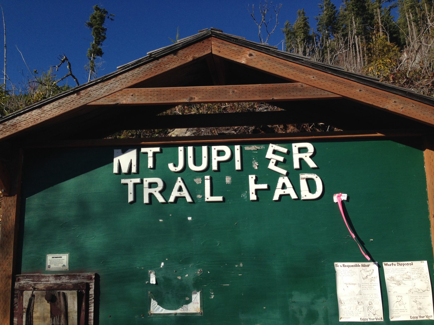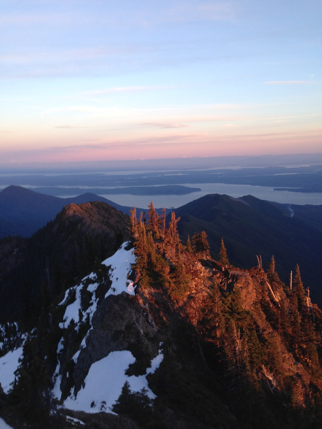
Got in a trail run up Mount Jupiter on a sunny Monday in January. Road is blocked 2.7-3.0 miles down from the trail head by an orange gate. The trail is to the right of the green Mount Jupiter trail head sign. It is not the most definitive trail and it's hard to distinguish it from a deer trail. The trail climbs through a clearing with trees that reach a few feet above the head of an average person. The views of the hood canal, Mount Rainer, and the Duckabush Delta are spectacular. There are many ping pong ball sized rocks that litter the trail and small branches. The trail passes through a grove of trees that was left between two sections of logging. After the grove, you reach another logged area with many downed trees and loose branches on the trail. There were loggers burning branches down below the clearing which was kind of startling because of the dryness of the area. This section of the trail lasts a mile and climbs approximately 600 feet. After the second clearing the trail enters into the forest and meanders up the ridge. It follows the ridge on the left (Duckabush side) switches over to the right (Dosewallip side) and back to the left. For three miles the trail is fairly flat gaining only 450 feet. There are many branches, downed trees, and Salal that is encroaching on the trail. The trail's steepness increases significantly after the 3500 feet sign. The gain each mile is about 750 feet and this continues for about three miles. There are many Rhododendrons and fir trees that need to be pushed a side or waded through towards the top. If there is trail work to be done in the future the majority of the work would involve pruning and cutting these obstacles. The trail becomes increasingly rocky as the top gets closer and was very enjoyable to maneuver through. There is minimal snow towards the top considering it's January. The views from the top are some of the most wondrous I've seen. Facing towards the canal you can see Mount Baker, Rainer, Cascades, and the bustling metropolis of Seattle. Facing towards the Olympics the Brothers stand tall to the left and Mount Constance sits on its rocky throne to the right. I stayed at the top until the sun was obscured by the brothers and hiked down as the sun shining through the atmosphere turn the rocks and the trees into a glowing red. On the way down I saw a peculiar Grouse that was very dark feathered. On the way down, there are a few uphills on the flatter section of the ridge that are a little difficult after travelling to the top. The total elevation gain was around 5300 feet and the total distance out and back from the orange gate was about 20 miles. The views of the hike are definitely worth in if your willing to go the distance and elevation on a trail the needs a some work and love.


Comments
jyeti89 on Mount Jupiter
Strava Stats
https://www.strava.com/activities/246702910
Posted by:
jyeti89 on Jan 27, 2015 02:16 PM