Trip Report
White Pass - Pilot Ridge Loop — Friday, Aug. 21, 2015
 North Cascades > Mountain Loop Highway

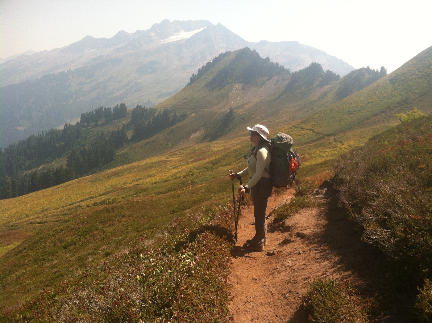
A friend of mine and I did this as a two-night backpack and while it was doable, it was exhausting. This would be perfect as a three or four-nighter with some side trips from a base camp at White Pass or Dishpan Gap. We came back tired and very sore, but holy wow were the views (even with the smoke) and ridge walks worth it.
The first day, we got started late after work and were only able to get 6 miles in before dark. We stayed at one of the established campsites around the Kamiak shelter. There is easy access to the Sauk River from here, so we filled up on water in the morning before walking up to White Pass.
There are a few little trickles of streams on the way to White Pass and it's best to filter water at one if you need to because there aren't many other water sources between the pass and Blue Lake unless you want to filter from mosquito holes.
The trail up to the pass is steep but in good condition and goes through abundant blueberry fields. The ridge walk across the pass is truly one of the most beautiful hikes I have ever had. We saw three marmots on the trail and many nice PCT hikers going as far north as they could before the fire closures.
After crossing into the Henry M. Jackson Wilderness, great campsites are abundant along the trail. Dishpan Gap had plenty of beautiful spots and it wasn't crowded, we just met one other hiker and his dog there, but we decided to press on to Blue Lake.
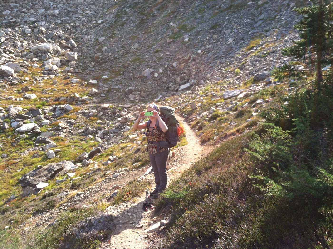
The hiking guide recommends the Blue Lakes High Route over the Bald Eagle Trail to get to the lake because it cuts mileage, but be aware that the high route is more of a scramble than a hike and the descent to the lake crosses a very steep scree field. If you're afraid of heights or concerned about your footing, take the alternate route on Bald Eagle. It adds four miles, but at least it is flat.
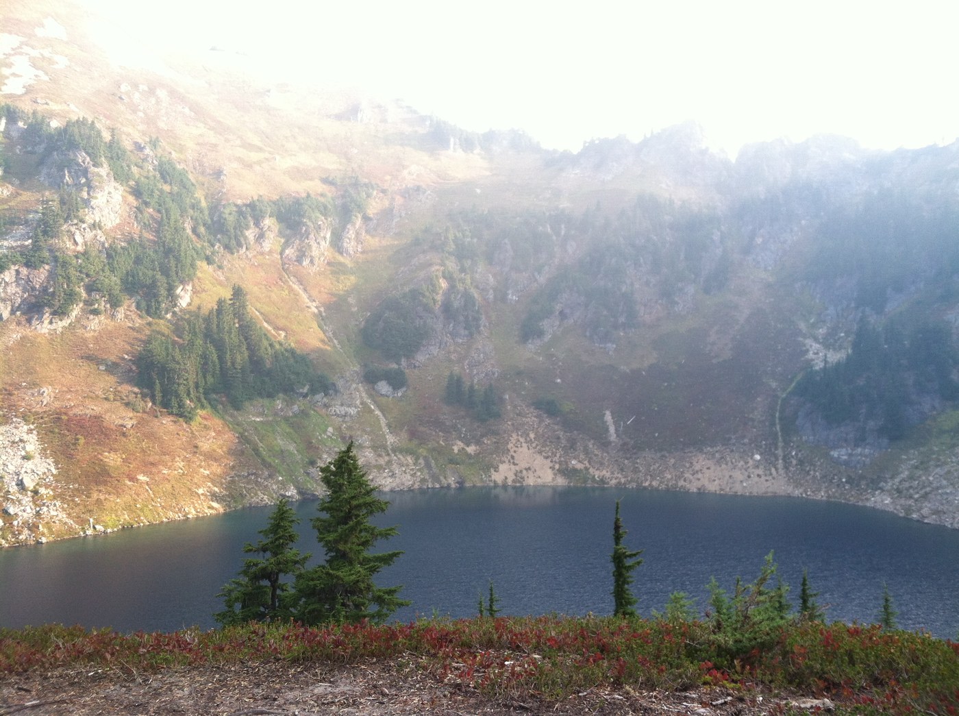
The campsites around the lake were somewhat crowded (we counted seven other tents) but we found some solitude on a small plateau above the lake. It was perfect and when we woke up Sunday morning a family of grouse was pecking around our tent, totally nonplussed by our presence as we made breakfast.
We left at 8am, hoping to finish the loop by lunch time but that was overly optimistic, to say the least.
The hike along Pilot Ridge really does seem to go forever. It is gorgeous, but includes some very narrow catwalks and the descent from the ridge (list as 2.5 miles) was so steep it took us two full hours even though we thought we were moving at a pretty good clip. There were some downed trees on the descending trail that posed a challenge for us given that we're both under 5' 4" and the trail was deeply rutted in portions. I wish I had taken photos of trail conditions, but I was so tired at this point it didn't occur to me.
All in all, this was an incredibly challenging weekend but offered some of the most stunning rewards of any hike I've ever had. I hope to return when the smoke isn't obscuring the views and I have more time to enjoy some of the optional side trips.


Comments
first photo looks inaccurate to me
I'm pretty sure the rocky ridge shown in the 1st photo is NOT the Blue Lake High Route -- it's the ridge North of that peak, seen from Dishpan Gap (the other side of it is shown in the Blue Lake photo).
Blue Lake High is on the S slope of Pt. 6562, and nowhere near as intimidating as the photo suggests. It is a trail, although as the author indicates, near the pass it might be intimidating to someone unused to steep slopes. Beware party-induced rockfall, esp. as you may be unaware of people below you! If there is snow on it, it would be very dangerous to an unskilled person without an ice ax (snow might persist into July? Aug? on the N side above Blue Lake). Definitely worth it for the view.
Pt. 6562 and Johnston are both walk-up summits with high view-to-effort ratios; Johnston has the old fire lookout trail.
I may try to clear some of the smaller blowdown on the Sauk R. side; thanks for that info.
Posted by:
Cascade Liberation Organization on Sep 02, 2015 10:44 AM
CORRECTION; my mistake.
The first photo IS the Blue Lake High Route seen from Blue Lake (looking SSE), but I think it overstates the difficulty of the route. It does not go over that craggy ridge; it follows the steep talus slope seen in profile at left. The actual pass is just barely out-of-sight at left, behind the talus slope. There is a decent path in the talus. It's either a rough trail or an easy scramble. The exposure is not severe, but there are places you wouldn't want to fall. If that north slope is covered with firm snow, I'd definitely call it ice-ax terrain.
That said, the corgi just did it in 1-2" of fresh wet snow.
If visibility is good, at least one of those two peaks is recommended for the view (Johnson has a good trail; former lookout).
Posted by:
Cascade Liberation Organization on Sep 08, 2015 11:58 AM