Trip Report
Bear Ridge, Shy Bear, Cougar Pass, Fred's Railroad, Klondike Swamp, Coal Creek Trail & Red Town Meadow & Trails — Thursday, Oct. 22, 2015
 Issaquah Alps > Cougar Mountain

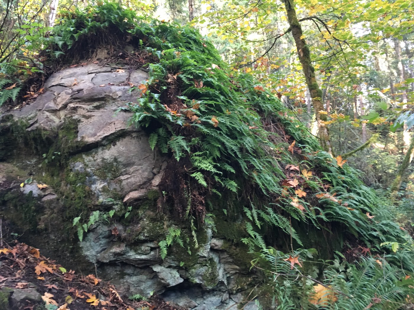
Started the hike at the Coal Creek trailhead, made my way through to the Red Town Trailhead and headed into the park. Followed Red Town Trail down to Indian Trail and passed the meadow restoration. Headed up Shy Bear Trail. Headed east on Fred's RR Trail. Stunning. After crossing Clay Pit Road headed further up to Cougars Pass and Tibbets Creek. Slid onto Bear Ridge and passed Fantastic Erratic. Continued on Bear Ridge (ultimate goal was Issaquah TC) with little problems until encountering the boundary marker. the trail suddenly became rock strewn and rooted. it's always a bit disconcerting when you look down at the trail and can't see any boot tracks. However, I wasn't about to retrace my steps to catch the Tallus Bridge trail, because...I'm stubborn. Hiked the slippery, ankle endangering mess of a trail all the way down, only to find a marker almost at the Renton-Issaquah Road that the trail was closed. Not only was it closed, it was a rehabilitation zone. No signage on the King County side of the trail noted this. I made it out of the forest, and on to a four lane busy road, and headed up to the TC. A little cooperation between county and city and a little signage would've been appreciated. Otherwise, a very pleasant, 12 miles.


Comments
Bear Ridge Trail is alive and well!
Dear Sjgoldyn, I'm so sorry for the bad ending to an otherwise lovely hike. The problem is indeed a lack of signage, not a bad or closed trail. After you pass the boundary marker from County to City (Issaquah) there is a junction UNSIGNED with the Talus Bridge Trail. I suspect your light was failing so you turned on to this rather than following the actual Bear Ridge Trail down to SR900. The intersection is quite clear and never brushy, but if the light is not good and you are not expecting a junction . . . The Talus Bridge Trail was leading you toward houses, so you must have left it at a likely looking spot and picked up the remnants of the old West Tibbetts Creek Trail, which does indeed end in a fence with a restoration area notice just before reraching SR900. Even in full daylight following that old ghost of an abandoned trail is a feat, so your compensation for a bummed hike is having submitted the LAST EVER trip report for West Tibbetts, may it grow over in peace. The bottom part of Bear Ridge is well used by Talus residents, after-work dog walkers, and short-walk seekers of the Fantastic Erratic. It had its last serious upgrade by Issaquah Alps Trails Club in 2003, while the upper (County) portion has been worked numerous times since then by WTA and County staff. Though a bit narrower than the County part, it's an easy grade and OK for family hikes.
Posted by:
Trailtroll on Nov 25, 2015 04:03 PM