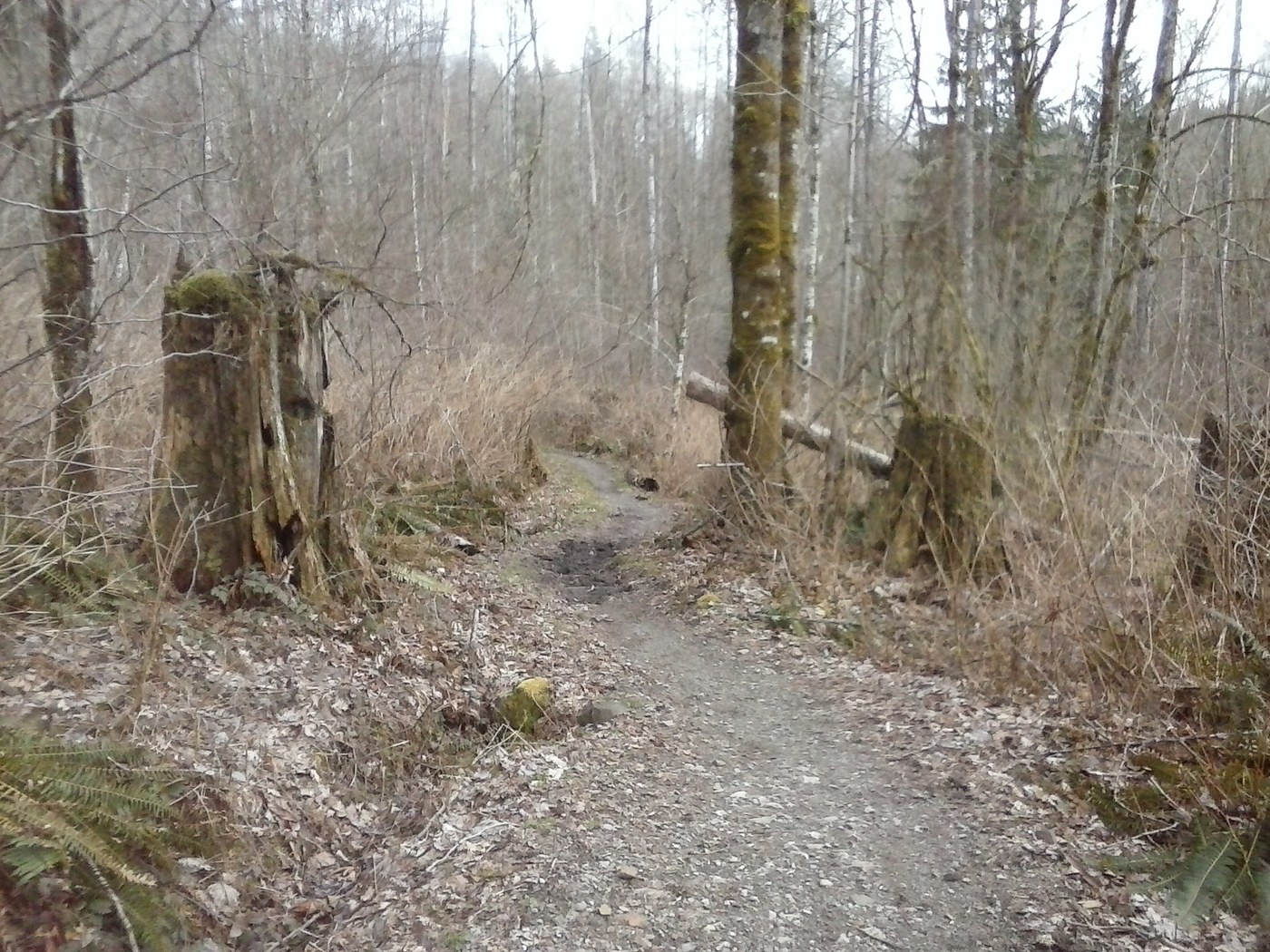
Trail ran using good map from King County Site http://www.kingcounty.gov/services/parks-recreation/parks/trails/backcountry-trails/taylor-mtn.aspx Started at parking lot just after Issaquah-Hobart rd goes under hwy 18. Did Holder Ridge->Holder Knob->Whiskey Still->Boot->Road F->Returned on Road A. About 6 Miles total. A mile or two of uphill to start and then flat and rolling. Trail was amazingly void of mud; kudos to whoever is maintaining this trail. Only the boot trail had some significant muddy spots. The rest all had just a few muddy areas that were easy to go around. Most of trail was dry which was a surprise considering all the recent rain
Trip Report
Holder Knob, Holder Ridge Trail, Whiskey Still Trail & Boot Trail — Thursday, Mar. 23, 2017
 Issaquah Alps > Taylor Mountain
Comments