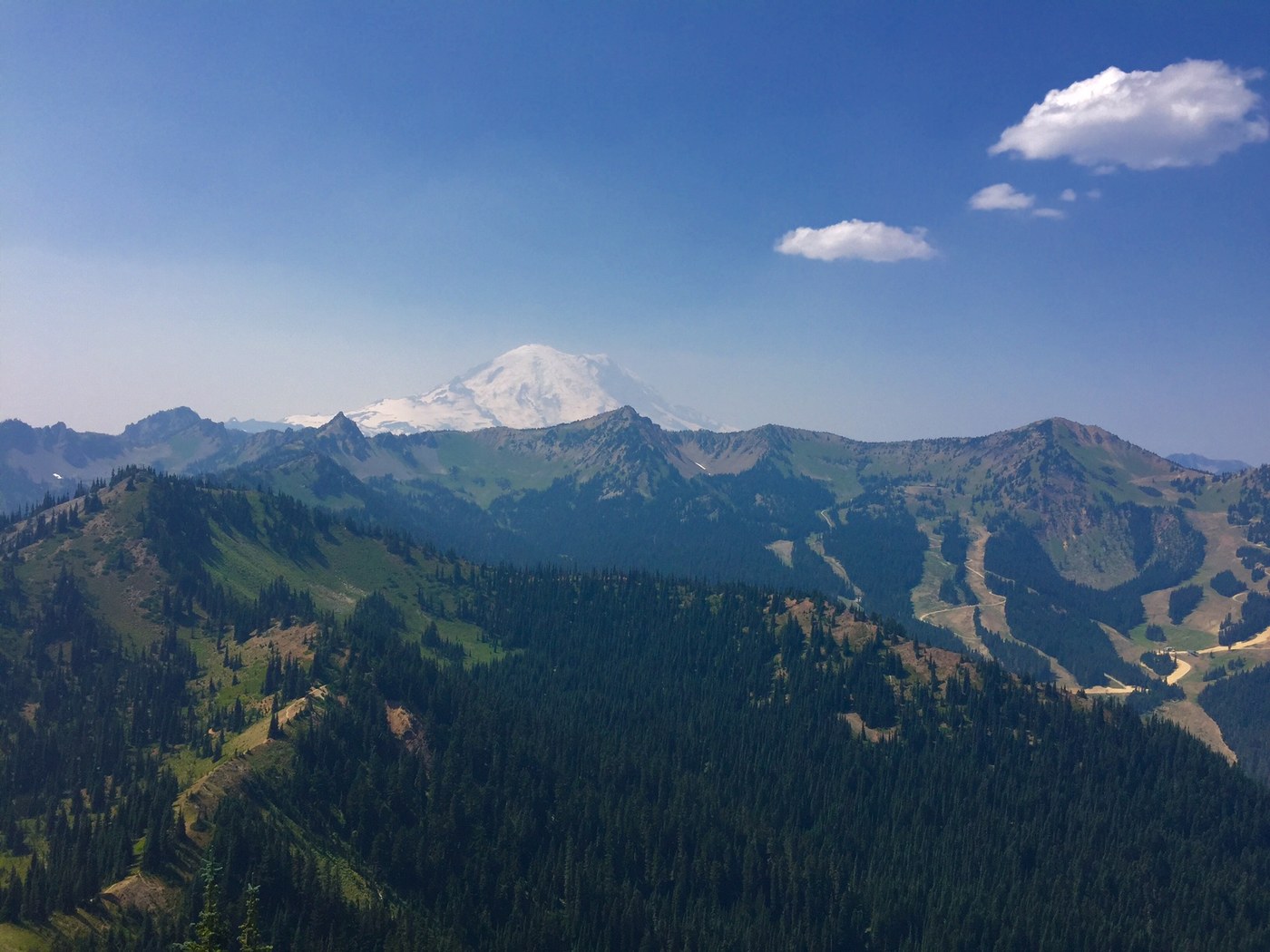
Working with Adventure Scientists this summer, we were assigned Crown Point on the PCT as our survey area for monitoring butterflies and wildflowers. If that wasn't the case, I honestly can see no reason for heading back to this area to hike, considering the myriad of amazing hike options surrounding and within Mt. Rainier Nat'l Park - and as it is, we're certainly going to try to find an alternate entry point when we go back for the next trip.
Positives of this loop hike: relatively easy access to the PCT, big parking lot, bathrooms and cold water at the trailhead (which was awesome after this dry and dusty hike). Negatives: dusty, rutted horse trails (filled with their droppings), noise from the machinery working at Crystal Resort, and (in my admittedly jaded opinion) only meh views compared to what you can get for the same amount of efforting on some of the trails inside the park. I suppose if you have dogs and therefore can't hike in the park boundaries, this would be a decent alternative?
Headed up Bullion Basin trail from the Crystal Resort parking lot (wide, steep, dusty path heading up behind the Chapel). It started steep, stayed steep, was hot, dusty, and with not a lot to recommend it the entire way to the PCT. Again, this is a horse trail, so it's eroded and filled with poo. Some water sources along the way.
Views from the top, once you connect with the PCT, are pretty - Rainier is looming large, and in many places you get close to 360 degrees of surrounding peaks. The PCT is a well-groomed trail with more gentle ups and downs.
Crown Point peak (accessed from the junction with Union Creek, also called Basin Lake or Basin Trail, depending on which map you're looking at) has no real trail, game or otherwise, to tread on to the top - you just need to follow the treeline up and pick your way through elk beds and wildflowers. The view from the peak is outstanding, however. We spent the bulk of our day here, catching butterflies and entering data about them for our project. A handful of PCT thru hikers on the trail below us, but relative solitude for the majority of the hike.
Continued on the PCT through Bear Gap pass to the junction with Henskin Lake/Silver Creek/Bear Gap; took the Silver Creek Trail back to the parking lot. This trail had much more to recommend it, being filled with wildflowers just past their peak, and alternating open views with forest shade. Two water sources along this trail - one about 1/3 of the way down at another junction with Henskin Lake, and one next to an old mine shaft a little further on; all of the stuff up high was dry.


Comments